15 Point Rd Columbus, MS 39701
Estimated Value: $186,000 - $415,000
--
Bed
1
Bath
3,083
Sq Ft
$113/Sq Ft
Est. Value
About This Home
This home is located at 15 Point Rd, Columbus, MS 39701 and is currently estimated at $349,117, approximately $113 per square foot. 15 Point Rd is a home.
Ownership History
Date
Name
Owned For
Owner Type
Purchase Details
Closed on
Aug 21, 2024
Sold by
Ryals Deirdre L and Harris Rashann D
Bought by
Ryals Deirdre L
Current Estimated Value
Home Financials for this Owner
Home Financials are based on the most recent Mortgage that was taken out on this home.
Original Mortgage
$322,250
Interest Rate
6.54%
Mortgage Type
New Conventional
Create a Home Valuation Report for This Property
The Home Valuation Report is an in-depth analysis detailing your home's value as well as a comparison with similar homes in the area
Home Values in the Area
Average Home Value in this Area
Purchase History
| Date | Buyer | Sale Price | Title Company |
|---|---|---|---|
| Ryals Deirdre L | -- | None Listed On Document | |
| Ryals Deirdre L | -- | None Listed On Document |
Source: Public Records
Mortgage History
| Date | Status | Borrower | Loan Amount |
|---|---|---|---|
| Previous Owner | Ryals Deirdre L | $322,250 |
Source: Public Records
Tax History Compared to Growth
Tax History
| Year | Tax Paid | Tax Assessment Tax Assessment Total Assessment is a certain percentage of the fair market value that is determined by local assessors to be the total taxable value of land and additions on the property. | Land | Improvement |
|---|---|---|---|---|
| 2025 | $2,714 | $31,600 | $0 | $0 |
| 2024 | $2,714 | $31,600 | $0 | $0 |
| 2023 | $2,272 | $27,078 | $0 | $0 |
| 2022 | $2,274 | $27,078 | $0 | $0 |
| 2021 | $2,177 | $27,078 | $0 | $0 |
| 2020 | $2,039 | $27,078 | $0 | $0 |
| 2019 | $140 | $26,167 | $0 | $0 |
| 2018 | $140 | $26,167 | $0 | $0 |
| 2017 | $134 | $1,575 | $0 | $0 |
| 2016 | $134 | $1,575 | $0 | $0 |
| 2015 | $134 | $1,575 | $0 | $0 |
| 2014 | -- | $9,483 | $0 | $0 |
Source: Public Records
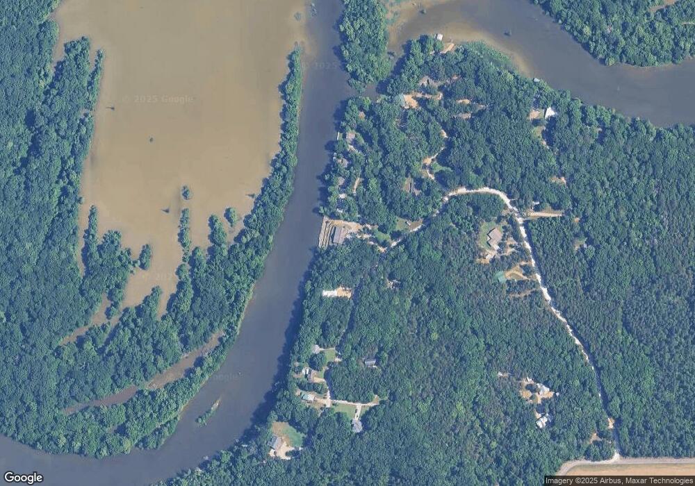
Map
Nearby Homes
- 0 Golden Horn Rd
- 0 S Frontage Rd
- 5 W Bank Access Rd
- 4 W Bank Access Rd
- 3 W Bank Access Rd
- 2 W Bank Access Rd
- 23 Breezeway Cove
- 28 Breezeway Cove
- 96 Breezeway Cove
- 100 Breezeway Cove
- 112 Breezeway Cove
- 110 Breezeway Cove
- 3267 Old West Point Rd
- 59 Breland Overlook
- 75 Breland Overlook
- 0 Breland Overlook Unit 25-2169
- 5 Clisby Rd
- 13 Clisby Rd
- 0 Clisby Rd
- 12 Clisby Rd
- 6280 Old West Point Rd
- 6303 Old West Point Rd
- 6019 Old West Point Rd
- 5975 Old West Point Rd
- 270 Swoope Rd N
- 7080 Old West Point Rd
- 6963 Old West Point Rd
- 5914 Old West Point Rd
- 765 Taylor Thurston Rd
- 961 Swoope Rd N
- 273 Swoope Rd N
- 5762 Old West Point Rd
- 143 Steger Rd
- 274 Bluff Dr
- 230 Bluff Dr
- 844 Swoope Rd N
- 208 Bluff Dr
- 285 Steger Rd
- 184 Bluff Dr
- 189 Bluff Dr