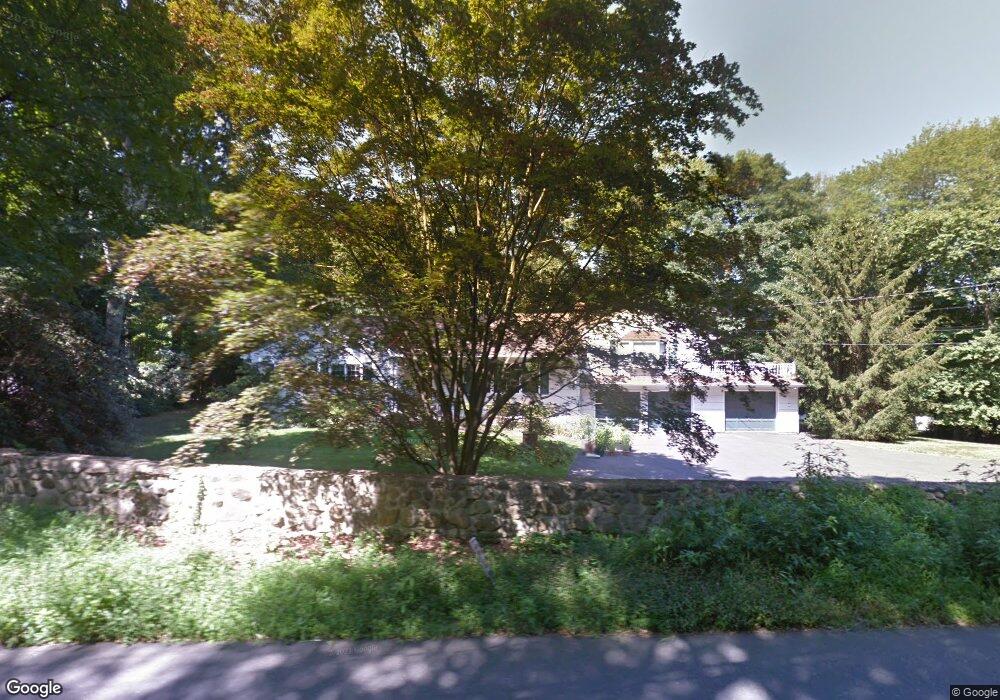
15 Range Rd Wilton, CT 06897
Estimated Value: $1,118,000 - $1,299,000
4
Beds
4
Baths
2,587
Sq Ft
$467/Sq Ft
Est. Value
About This Home
This home is located at 15 Range Rd, Wilton, CT 06897 and is currently estimated at $1,208,236, approximately $467 per square foot. 15 Range Rd is a home located in Fairfield County with nearby schools including Miller-Driscoll School, Cider Mill School, and Middlebrook School.
Ownership History
Date
Name
Owned For
Owner Type
Purchase Details
Closed on
Jun 29, 2010
Sold by
Canardo Jorge
Bought by
Patel Niraj C and Patel Shefali N
Current Estimated Value
Home Financials for this Owner
Home Financials are based on the most recent Mortgage that was taken out on this home.
Original Mortgage
$417,000
Interest Rate
4.98%
Purchase Details
Closed on
Sep 20, 2005
Sold by
Terry Patricia
Bought by
Canardo Jorge
Home Financials for this Owner
Home Financials are based on the most recent Mortgage that was taken out on this home.
Original Mortgage
$585,000
Interest Rate
4.25%
Create a Home Valuation Report for This Property
The Home Valuation Report is an in-depth analysis detailing your home's value as well as a comparison with similar homes in the area
Home Values in the Area
Average Home Value in this Area
Purchase History
| Date | Buyer | Sale Price | Title Company |
|---|---|---|---|
| Patel Niraj C | $729,000 | -- | |
| Canardo Jorge | $815,000 | -- |
Source: Public Records
Mortgage History
| Date | Status | Borrower | Loan Amount |
|---|---|---|---|
| Open | Canardo Jorge | $295,000 | |
| Closed | Canardo Jorge | $417,000 | |
| Previous Owner | Canardo Jorge | $585,000 |
Source: Public Records
Tax History
| Year | Tax Paid | Tax Assessment Tax Assessment Total Assessment is a certain percentage of the fair market value that is determined by local assessors to be the total taxable value of land and additions on the property. | Land | Improvement |
|---|---|---|---|---|
| 2025 | $14,744 | $604,030 | $292,670 | $311,360 |
| 2024 | $14,460 | $604,030 | $292,670 | $311,360 |
| 2023 | $17,268 | $428,820 | $279,860 | $148,960 |
| 2022 | $12,106 | $428,820 | $279,860 | $148,960 |
| 2021 | $8,196 | $428,820 | $279,860 | $148,960 |
| 2020 | $11,775 | $428,820 | $279,860 | $148,960 |
| 2019 | $12,239 | $428,820 | $279,860 | $148,960 |
| 2018 | $8,317 | $418,950 | $294,490 | $124,460 |
| 2017 | $11,634 | $418,950 | $294,490 | $124,460 |
| 2016 | $11,454 | $418,950 | $294,490 | $124,460 |
| 2015 | $11,240 | $418,950 | $294,490 | $124,460 |
| 2014 | $11,106 | $418,950 | $294,490 | $124,460 |
Source: Public Records
Map
Nearby Homes
- 84 Wilton Crest Rd Unit 84
- 7 Glen Ridge
- 20 Arrowhead Rd
- 3 Deerfield Rd
- 25 Arrowhead Rd
- 9 Old Farm Rd
- 21 Old Hwy
- 332 Belden Hill Rd
- 110 Dudley Rd
- 25 Cherry Ln
- 433 Belden Hill Rd
- 105 Old Hwy
- 25 Powder Horn Hill Rd
- 6 Downe Ln
- 30 Freshwater Ln
- 123 Old Belden Hill Rd Unit 19
- 123 Old Belden Hill Rd Unit 40
- 381 Chestnut Hill Rd
- 89 Chestnut Hill Rd
- 158 N Seir Hill Rd
Your Personal Tour Guide
Ask me questions while you tour the home.