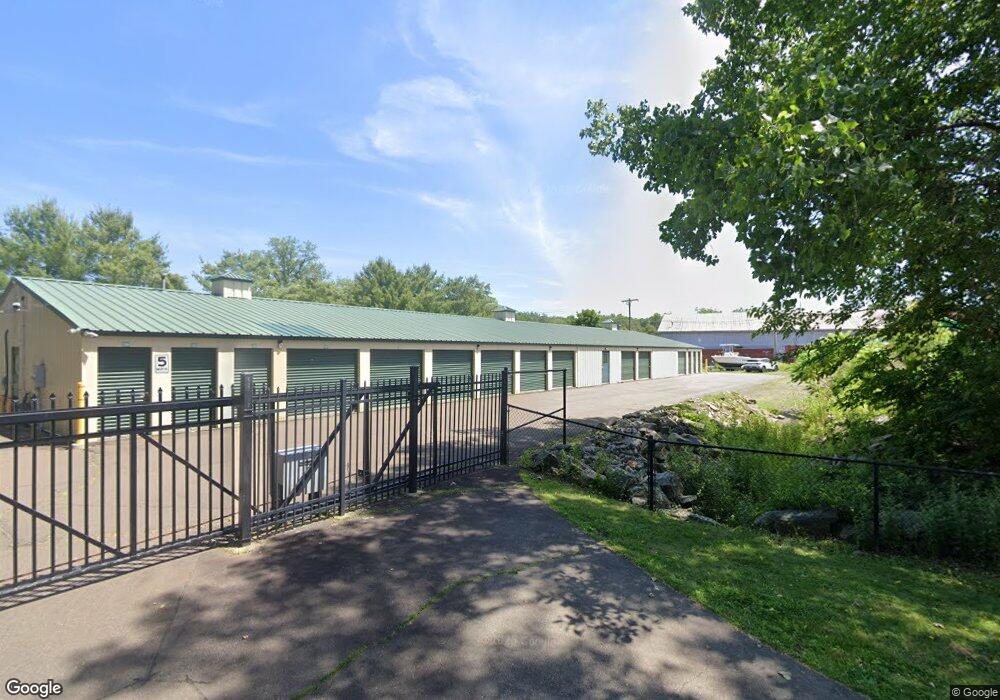
15 Research Dr Branford, CT 06405
Estimated Value: $1,124,861
--
Bed
--
Bath
--
Sq Ft
1.97
Acres
About This Home
This home is located at 15 Research Dr, Branford, CT 06405 and is currently estimated at $1,124,861. 15 Research Dr is a home located in New Haven County with nearby schools including Francis Walsh Intermediate School, Branford High School, and St Mary School.
Ownership History
Date
Name
Owned For
Owner Type
Purchase Details
Closed on
Feb 25, 2021
Sold by
A Sure Thing Storage Llc
Bought by
15 Research Llc
Current Estimated Value
Home Financials for this Owner
Home Financials are based on the most recent Mortgage that was taken out on this home.
Original Mortgage
$487,500
Outstanding Balance
$437,009
Interest Rate
2.7%
Mortgage Type
Purchase Money Mortgage
Estimated Equity
$687,852
Purchase Details
Closed on
Feb 3, 2015
Sold by
Fair Thomas C
Bought by
A Sure Thing Storage L
Purchase Details
Closed on
Sep 30, 2002
Sold by
Olovson Doris
Bought by
Fair Thomas C
Create a Home Valuation Report for This Property
The Home Valuation Report is an in-depth analysis detailing your home's value as well as a comparison with similar homes in the area
Home Values in the Area
Average Home Value in this Area
Purchase History
| Date | Buyer | Sale Price | Title Company |
|---|---|---|---|
| 15 Research Llc | $750,000 | None Available | |
| 15 Research Llc | $750,000 | None Available | |
| A Sure Thing Storage L | $385,000 | -- | |
| A Sure Thing Storage L | $385,000 | -- | |
| Fair Thomas C | $40,000 | -- |
Source: Public Records
Mortgage History
| Date | Status | Borrower | Loan Amount |
|---|---|---|---|
| Open | 15 Research Llc | $487,500 | |
| Closed | 15 Research Llc | $487,500 |
Source: Public Records
Tax History Compared to Growth
Tax History
| Year | Tax Paid | Tax Assessment Tax Assessment Total Assessment is a certain percentage of the fair market value that is determined by local assessors to be the total taxable value of land and additions on the property. | Land | Improvement |
|---|---|---|---|---|
| 2025 | $11,066 | $517,100 | $235,100 | $282,000 |
| 2024 | $11,363 | $372,800 | $122,000 | $250,800 |
| 2023 | $11,143 | $372,800 | $122,000 | $250,800 |
| 2022 | $10,979 | $372,800 | $122,000 | $250,800 |
| 2021 | $10,979 | $372,800 | $122,000 | $250,800 |
| 2020 | $10,781 | $372,800 | $122,000 | $250,800 |
| 2019 | $9,724 | $334,500 | $118,400 | $216,100 |
| 2018 | $9,580 | $334,500 | $118,400 | $216,100 |
| 2017 | $9,523 | $334,500 | $118,400 | $216,100 |
| 2016 | $10,086 | $367,950 | $130,240 | $237,710 |
| 2015 | $9,909 | $367,950 | $130,240 | $237,710 |
| 2014 | $9,167 | $349,360 | $130,240 | $219,120 |
Source: Public Records
Map
Nearby Homes
- 11 School Ground Rd Unit TRLR 10
- 525 E Main St Unit 33
- 525 E Main St Unit 23
- 525 E Main St Unit 56
- 525 E Main St Unit 44
- 525 E Main St Unit 8
- 63 Gould Ln
- 0 Gould Ln
- 18 Ridge Acres Rd
- 223 Twin Lakes Rd Unit D
- 13 Pond View Terrace
- 229 Branford Rd Unit 519
- 229 Branford Rd Unit 520
- 0 Beechwood Rd
- 72 Notch Hill Rd
- 260 Notch Hill Rd
- 10 Lea Rd
- 200 Damascus Rd
- 132 Linsley Lake Rd
- 155 Stony Creek Rd
- 7 Valley Rd
- 29 Valley Rd
- 36 Valley Rd
- 36 Valley Rd
- 83 School Ground Rd
- 3 Research Dr
- 35 Valley Rd
- 31 Valley Rd
- 46 Tipping Dr
- 53 School Ground Rd
- 39 Valley Rd
- 2 Tipping Dr
- 75 School Ground Rd
- 92 School Ground Rd
- 6 Branford Rd
- 42 Valley Rd
- 53 Valley Rd Unit 2
- 4 Branford Rd
- 100 School Ground Rd
- 215 N Branford Rd