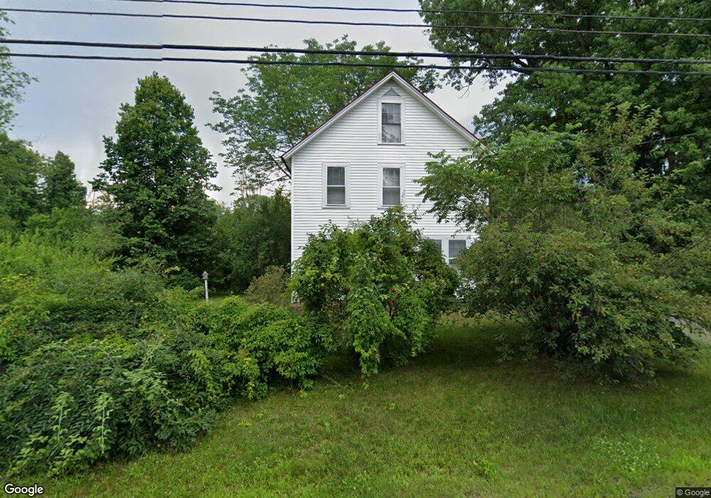
15 Riverside Dr Lebanon, NH 03766
Estimated Value: $440,000 - $492,000
4
Beds
1
Bath
1,554
Sq Ft
$293/Sq Ft
Est. Value
About This Home
This home is located at 15 Riverside Dr, Lebanon, NH 03766 and is currently estimated at $455,877, approximately $293 per square foot. 15 Riverside Dr is a home located in Grafton County with nearby schools including Hanover Street School, Lebanon Middle School, and Lebanon High School.
Ownership History
Date
Name
Owned For
Owner Type
Purchase Details
Closed on
Mar 2, 2001
Sold by
Atkinson Andreas
Bought by
Bell Brian
Current Estimated Value
Home Financials for this Owner
Home Financials are based on the most recent Mortgage that was taken out on this home.
Original Mortgage
$123,400
Outstanding Balance
$44,866
Interest Rate
7%
Estimated Equity
$411,011
Create a Home Valuation Report for This Property
The Home Valuation Report is an in-depth analysis detailing your home's value as well as a comparison with similar homes in the area
Home Values in the Area
Average Home Value in this Area
Purchase History
| Date | Buyer | Sale Price | Title Company |
|---|---|---|---|
| Bell Brian | $129,900 | -- |
Source: Public Records
Mortgage History
| Date | Status | Borrower | Loan Amount |
|---|---|---|---|
| Open | Bell Brian | $43,415 | |
| Open | Bell Brian | $123,400 |
Source: Public Records
Tax History Compared to Growth
Tax History
| Year | Tax Paid | Tax Assessment Tax Assessment Total Assessment is a certain percentage of the fair market value that is determined by local assessors to be the total taxable value of land and additions on the property. | Land | Improvement |
|---|---|---|---|---|
| 2024 | $8,034 | $305,700 | $86,300 | $219,400 |
| 2023 | $7,422 | $305,700 | $86,300 | $219,400 |
| 2022 | $7,043 | $305,700 | $86,300 | $219,400 |
| 2021 | $6,116 | $226,700 | $52,500 | $174,200 |
| 2019 | $5,831 | $192,000 | $52,200 | $139,800 |
| 2018 | $15,686 | $192,000 | $52,200 | $139,800 |
| 2017 | $14,351 | $189,900 | $52,200 | $137,700 |
| 2016 | $12,220 | $189,900 | $52,200 | $137,700 |
| 2015 | $5,243 | $189,900 | $52,200 | $137,700 |
| 2014 | $4,981 | $189,600 | $66,300 | $123,300 |
| 2013 | $4,908 | $192,400 | $65,500 | $126,900 |
Source: Public Records
Map
Nearby Homes
- 262 Dartmouth College Hwy
- 510 Dartmouth College Hwy
- 430 Dartmouth College Hwy
- 20 Alden Rd
- 0 Meriden Rd Unit 5065034
- 16 Kimball St
- 32 Bank St
- 25 Green St
- 26 Parkhurst St
- 321 Meriden Rd
- 151 Sunset Rock Rd
- 154 Sunset Rock Rd
- 49 Storrs Hill Rd
- 37 Water St
- 43 Water St Unit 45
- 503 Dartmouth College Hwy
- 29 Mascoma St
- 511 Dartmouth College Hwy
- 0 Manchester Dr Unit 26
- 20 Summer St
- 17 Riverside Dr
- 23 Riverside Dr
- 0 Riverside Drive (Lot 2) Unit 4224319
- 247 Dartmouth College Hwy
- 250 Dartmouth College Hwy
- 254 Dartmouth College Hwy
- 27 Riverside Dr
- 3 Riverside Dr
- 261 Dartmouth College Hwy
- 3 Laplante Rd
- 3 Hardy Hill Rd
- 7 Hardy Hill Rd
- 2 Riverside Dr
- 31 Riverside Dr
- 5 Hardy Hill Rd
- 2 Laplante Rd
- 1 Hardy Hill Rd
- 7 Laplante Rd
- 266 Dartmouth College Hwy
- 36 Winona Cir