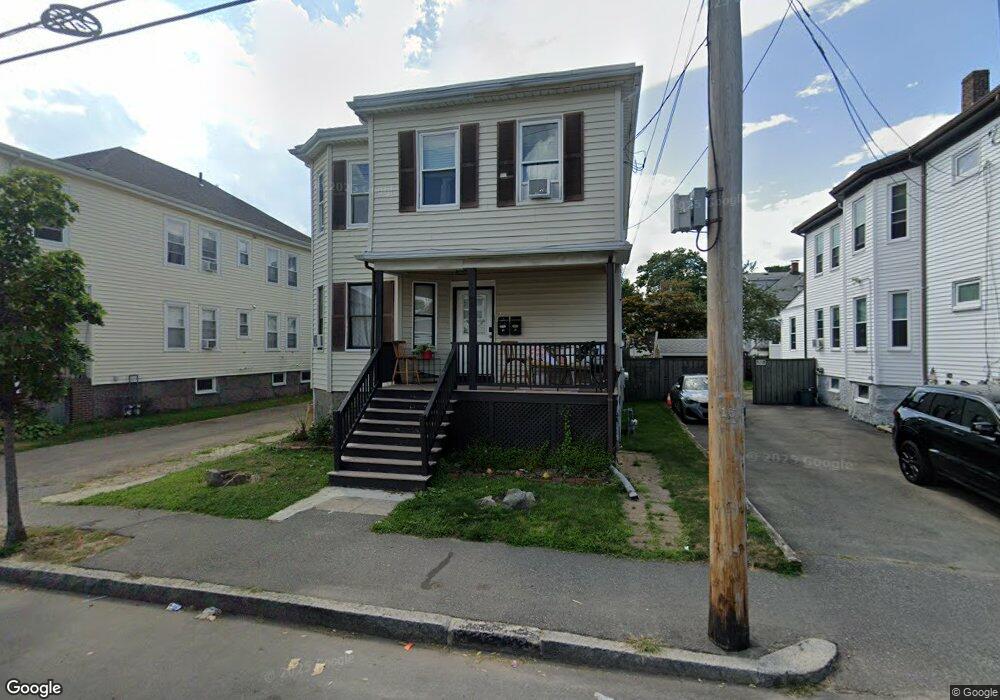
15 Roberts St Quincy, MA 02169
South Quincy NeighborhoodEstimated Value: $739,000 - $923,000
4
Beds
2
Baths
1,980
Sq Ft
$412/Sq Ft
Est. Value
About This Home
This home is located at 15 Roberts St, Quincy, MA 02169 and is currently estimated at $815,860, approximately $412 per square foot. 15 Roberts St is a home located in Norfolk County with nearby schools including Lincoln-Hancock Community School, South West Middle School, and Quincy High School.
Ownership History
Date
Name
Owned For
Owner Type
Purchase Details
Closed on
Nov 1, 2010
Sold by
Greenfield Norman and Greenfield Judith
Bought by
Le Oanh T and Vo Khanh Q
Current Estimated Value
Home Financials for this Owner
Home Financials are based on the most recent Mortgage that was taken out on this home.
Original Mortgage
$224,000
Outstanding Balance
$148,693
Interest Rate
4.39%
Mortgage Type
Purchase Money Mortgage
Estimated Equity
$667,167
Create a Home Valuation Report for This Property
The Home Valuation Report is an in-depth analysis detailing your home's value as well as a comparison with similar homes in the area
Home Values in the Area
Average Home Value in this Area
Purchase History
| Date | Buyer | Sale Price | Title Company |
|---|---|---|---|
| Le Oanh T | $280,000 | -- |
Source: Public Records
Mortgage History
| Date | Status | Borrower | Loan Amount |
|---|---|---|---|
| Open | Le Oanh T | $224,000 |
Source: Public Records
Tax History Compared to Growth
Tax History
| Year | Tax Paid | Tax Assessment Tax Assessment Total Assessment is a certain percentage of the fair market value that is determined by local assessors to be the total taxable value of land and additions on the property. | Land | Improvement |
|---|---|---|---|---|
| 2025 | $8,327 | $722,200 | $269,900 | $452,300 |
| 2024 | $7,841 | $695,700 | $257,000 | $438,700 |
| 2023 | $7,332 | $658,800 | $233,700 | $425,100 |
| 2022 | $7,021 | $586,100 | $194,700 | $391,400 |
| 2021 | $7,149 | $588,900 | $194,700 | $394,200 |
| 2020 | $7,004 | $563,500 | $194,700 | $368,800 |
| 2019 | $6,663 | $530,900 | $183,700 | $347,200 |
| 2018 | $6,203 | $465,000 | $170,100 | $294,900 |
| 2017 | $6,249 | $441,000 | $162,000 | $279,000 |
| 2016 | $5,569 | $387,800 | $140,900 | $246,900 |
| 2015 | $5,474 | $374,900 | $140,900 | $234,000 |
| 2014 | $4,783 | $321,900 | $140,900 | $181,000 |
Source: Public Records
Map
Nearby Homes
- 64 Garfield St Unit B
- 91 Garfield St
- 21 Arthur St
- 94 Brook Rd Unit 3
- 118 Brook Rd Unit 2
- 14 Arthur Ave
- 51 Brook Rd
- 46-48 Buckley St
- 57 Buckley St
- 46 Suomi Rd
- 46 Suomi Rd Unit 46
- 8 Jackson St Unit B2
- 76 Scotch Pond Place Unit 76
- 56 Penn St Unit 4
- 21 Totman St Unit 202
- 21 Totman St Unit 309
- 21 Totman St Unit Model-1
- 21 Totman St Unit 209
- 21 Totman St Unit 203
- 21 Totman St Unit 2
- 21 Roberts St
- 19 Roberts St
- 11 Roberts St
- 25 Roberts St
- 18 Roberts St
- 22 Grossman St
- 7 Roberts St
- 18 Grossman St
- 9 Roberts St Unit 9
- 22 Roberts St
- 26 Grossman St
- 14 Grossman St
- 24 Grossman St Unit 2
- 27 Roberts St
- 10 Roberts St
- 14 Roberts St
- 14 Roberts St Unit 2
- 14 Roberts St Unit 1
- 12 Roberts St Unit 12
- 28-30 Grossman St Unit 28