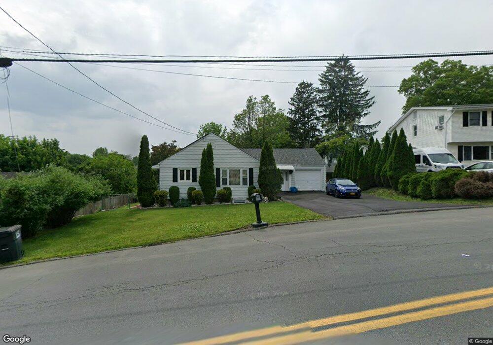
15 Robertson Dr Middletown, NY 10940
Estimated Value: $284,000 - $417,000
4
Beds
2
Baths
1,065
Sq Ft
$336/Sq Ft
Est. Value
About This Home
This home is located at 15 Robertson Dr, Middletown, NY 10940 and is currently estimated at $358,284, approximately $336 per square foot. 15 Robertson Dr is a home located in Orange County with nearby schools including Presidential Park Elementary School, Middletown Twin Towers Middle School, and Monhagen Middle School.
Ownership History
Date
Name
Owned For
Owner Type
Purchase Details
Closed on
Jun 30, 2009
Sold by
Federal Home Loan Mortgage Corporation
Bought by
Dennison Diane
Current Estimated Value
Purchase Details
Closed on
Nov 7, 2008
Sold by
Sandra Kotin As Referee
Bought by
Federal Home Loan Mortgage Corp
Purchase Details
Closed on
Mar 17, 2004
Sold by
Canas German
Bought by
Rios Alexander
Create a Home Valuation Report for This Property
The Home Valuation Report is an in-depth analysis detailing your home's value as well as a comparison with similar homes in the area
Home Values in the Area
Average Home Value in this Area
Purchase History
| Date | Buyer | Sale Price | Title Company |
|---|---|---|---|
| Dennison Diane | $139,500 | Mark Fisher | |
| Federal Home Loan Mortgage Corp | $175,764 | Steven J Baum | |
| Rios Alexander | $172,400 | Patricia A. Cocchia |
Source: Public Records
Tax History Compared to Growth
Tax History
| Year | Tax Paid | Tax Assessment Tax Assessment Total Assessment is a certain percentage of the fair market value that is determined by local assessors to be the total taxable value of land and additions on the property. | Land | Improvement |
|---|---|---|---|---|
| 2024 | $7,494 | $27,300 | $7,700 | $19,600 |
| 2023 | $7,494 | $27,300 | $7,700 | $19,600 |
| 2022 | $7,341 | $27,300 | $7,700 | $19,600 |
| 2021 | $7,722 | $27,300 | $7,700 | $19,600 |
| 2020 | $3,162 | $27,300 | $7,700 | $19,600 |
| 2019 | $3,077 | $27,300 | $7,700 | $19,600 |
| 2018 | $6,468 | $27,300 | $7,700 | $19,600 |
| 2017 | $6,261 | $27,300 | $7,700 | $19,600 |
| 2016 | $6,297 | $27,300 | $7,700 | $19,600 |
| 2015 | -- | $27,300 | $7,700 | $19,600 |
| 2014 | -- | $27,300 | $7,700 | $19,600 |
Source: Public Records
Map
Nearby Homes
- 80 Beattie Ave
- 105 Sheffield Dr
- 39 Harrison St
- 9 Albert St
- 38 Sheffield Dr
- 115 Vincent Dr
- 30 Royce Ave
- 1 Polly Kay Dr
- 47 Prince St
- 55 Prince St
- 31 Beattie Ave
- 3 Chappell Pkwy
- 77 Prince St
- 13 Smith St
- 203 Highland Ave
- 92 Linden Ave
- 120 Prospect Ave
- 47 Carpenter Ave
- 6 Broad St
- 127 Watkins Ave Unit 129
- 13 Robertson Dr
- 56 Sproat St Unit 58
- 58 Sproat St
- 9 Blanchard St Unit 11
- 11 Robertson Dr
- 19 Robertson Dr
- 14 Robertson Dr
- 13 Blanchard St
- 18 Robertson Dr
- 60 Sproat St
- 54 Sproat St
- 50-52 Sproat St
- 12 Robertson Dr
- 62 Sproat St
- 50 Sproat St Unit 52
- 20 Robertson Dr
- 5 Blanchard St
- 15 Blanchard St
- 6 Blanchard St
- 22 Robertson Dr