15 Rock Ridge Rd Airville, PA 17302
Susquehanna Trails NeighborhoodEstimated Value: $187,000 - $335,000
2
Beds
1
Bath
1,872
Sq Ft
$138/Sq Ft
Est. Value
About This Home
This home is located at 15 Rock Ridge Rd, Airville, PA 17302 and is currently estimated at $257,809, approximately $137 per square foot. 15 Rock Ridge Rd is a home located in York County with nearby schools including South Eastern Intermediate School, South Eastern Middle School, and Kennard-Dale High School.
Ownership History
Date
Name
Owned For
Owner Type
Purchase Details
Closed on
Dec 23, 2020
Sold by
Barger Luke Jason
Bought by
Barger Luke Jason and Chrest Amanda E
Current Estimated Value
Home Financials for this Owner
Home Financials are based on the most recent Mortgage that was taken out on this home.
Original Mortgage
$150,000
Outstanding Balance
$133,569
Interest Rate
2.71%
Mortgage Type
New Conventional
Estimated Equity
$124,240
Purchase Details
Closed on
Feb 22, 2002
Sold by
Sterling Mary B
Bought by
Barger Luke Jason
Home Financials for this Owner
Home Financials are based on the most recent Mortgage that was taken out on this home.
Original Mortgage
$69,800
Interest Rate
7.08%
Purchase Details
Closed on
Sep 28, 1995
Bought by
Sterling Mary B
Create a Home Valuation Report for This Property
The Home Valuation Report is an in-depth analysis detailing your home's value as well as a comparison with similar homes in the area
Home Values in the Area
Average Home Value in this Area
Purchase History
| Date | Buyer | Sale Price | Title Company |
|---|---|---|---|
| Barger Luke Jason | -- | Sage Settlement Group | |
| Barger Luke Jason | $73,500 | -- | |
| Sterling Mary B | -- | -- |
Source: Public Records
Mortgage History
| Date | Status | Borrower | Loan Amount |
|---|---|---|---|
| Open | Barger Luke Jason | $150,000 | |
| Closed | Barger Luke Jason | $69,800 |
Source: Public Records
Tax History Compared to Growth
Tax History
| Year | Tax Paid | Tax Assessment Tax Assessment Total Assessment is a certain percentage of the fair market value that is determined by local assessors to be the total taxable value of land and additions on the property. | Land | Improvement |
|---|---|---|---|---|
| 2025 | $2,953 | $98,040 | $33,500 | $64,540 |
| 2024 | $2,953 | $98,040 | $33,500 | $64,540 |
| 2023 | $2,953 | $98,040 | $33,500 | $64,540 |
| 2022 | $2,953 | $98,040 | $33,500 | $64,540 |
| 2021 | $2,855 | $98,040 | $33,500 | $64,540 |
| 2020 | $2,806 | $98,040 | $33,500 | $64,540 |
| 2019 | $2,796 | $98,040 | $33,500 | $64,540 |
| 2018 | $2,796 | $98,040 | $33,500 | $64,540 |
| 2017 | $2,796 | $98,040 | $33,500 | $64,540 |
| 2016 | $0 | $98,040 | $33,500 | $64,540 |
| 2015 | -- | $98,040 | $33,500 | $64,540 |
| 2014 | -- | $98,040 | $33,500 | $64,540 |
Source: Public Records
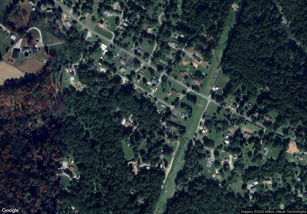
Map
Nearby Homes
- 76 Laurel Dr
- 45 Wenzel Rd
- 0 Highview Dr
- 63 Cherry Rd
- Parcel 859 Neill Run Rd
- 46 Corn Tassel Rd
- 0 Dogwood Rd
- 53 Dogwood Rd
- 55 Highfield Rd
- 8290 Woodbine Rd
- 556 Bair Rd
- 216 Meadow Trail
- 115 Highfield Rd
- 0 Valley Ln
- Lot C Bryansville Rd
- 65 W Mckinley Rd
- Lot 4 Ridge Rd
- 267 Cook Rd
- 194 Cook Rd
- 1081 Bridgeton Rd