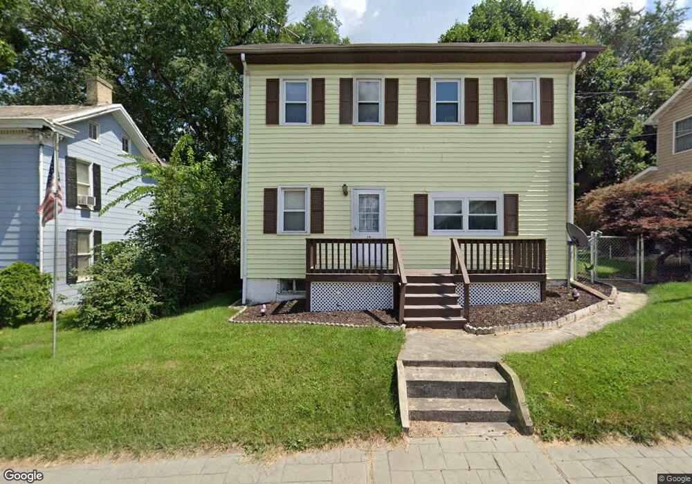
15 S Main St Union Bridge, MD 21791
Estimated Value: $231,000 - $284,000
--
Bed
1
Bath
1,806
Sq Ft
$145/Sq Ft
Est. Value
About This Home
This home is located at 15 S Main St, Union Bridge, MD 21791 and is currently estimated at $261,141, approximately $144 per square foot. 15 S Main St is a home located in Carroll County with nearby schools including Elmer A. Wolfe Elementary School, Northwest Middle School, and Francis Scott Key High School.
Ownership History
Date
Name
Owned For
Owner Type
Purchase Details
Closed on
Feb 1, 1999
Sold by
Smith Roy Edward
Bought by
Plumer Jason
Current Estimated Value
Purchase Details
Closed on
Aug 6, 1985
Sold by
Ciepiela Carol L
Bought by
Smith Roy Edward
Home Financials for this Owner
Home Financials are based on the most recent Mortgage that was taken out on this home.
Original Mortgage
$42,000
Interest Rate
12.17%
Create a Home Valuation Report for This Property
The Home Valuation Report is an in-depth analysis detailing your home's value as well as a comparison with similar homes in the area
Home Values in the Area
Average Home Value in this Area
Purchase History
| Date | Buyer | Sale Price | Title Company |
|---|---|---|---|
| Plumer Jason | $109,000 | -- | |
| Smith Roy Edward | $42,000 | -- |
Source: Public Records
Mortgage History
| Date | Status | Borrower | Loan Amount |
|---|---|---|---|
| Previous Owner | Smith Roy Edward | $42,000 |
Source: Public Records
Tax History Compared to Growth
Tax History
| Year | Tax Paid | Tax Assessment Tax Assessment Total Assessment is a certain percentage of the fair market value that is determined by local assessors to be the total taxable value of land and additions on the property. | Land | Improvement |
|---|---|---|---|---|
| 2025 | $2,566 | $189,333 | $0 | $0 |
| 2024 | $2,566 | $177,667 | $0 | $0 |
| 2023 | $2,440 | $166,000 | $76,100 | $89,900 |
| 2022 | $2,419 | $164,567 | $0 | $0 |
| 2021 | $4,829 | $163,133 | $0 | $0 |
| 2020 | $2,377 | $161,700 | $76,100 | $85,600 |
| 2019 | $2,392 | $161,633 | $0 | $0 |
| 2018 | $2,375 | $161,567 | $0 | $0 |
| 2017 | $2,374 | $161,500 | $0 | $0 |
| 2016 | -- | $161,500 | $0 | $0 |
| 2015 | -- | $161,500 | $0 | $0 |
| 2014 | -- | $165,100 | $0 | $0 |
Source: Public Records
Map
Nearby Homes
- 6 N Farquhar St
- 45 N Main St
- 147 Union Bridge Rd
- 244 Stem Rd
- 57B Hoff Rd
- 430 Bucher John Rd
- 0 Stem Rd
- 285 Stem Rd
- 4939 Middleburg Rd
- 1450 Marble Quarry Rd
- 3830 Watson Ln
- 3875 Bark Hill Rd
- 12633 Claybaugh Rd
- 6200 Middleburg Rd
- 0 Crouse Mill Rd Unit MDCR2028936
- 4205 Sams Creek Rd
- 9630 B Clemsonville Rd
- 0 Crouse Mill
- 3459 Uniontown Rd
- 718 Francis Scott Key Hwy