15 S Whitetail Rd Bigfork, MT 59911
Estimated Value: $830,000 - $1,459,483
1
Bed
1
Bath
1,145
Sq Ft
$1,000/Sq Ft
Est. Value
About This Home
This home is located at 15 S Whitetail Rd, Bigfork, MT 59911 and is currently estimated at $1,144,742, approximately $999 per square foot. 15 S Whitetail Rd is a home located in Lake County with nearby schools including Bigfork Elementary School, Bigfork Middle School, and Bigfork High School.
Ownership History
Date
Name
Owned For
Owner Type
Purchase Details
Closed on
Jul 12, 2017
Sold by
Daley Robert E and Daley Marlene M
Bought by
Kasser Kelly James and Kasser Jennifer R
Current Estimated Value
Purchase Details
Closed on
Oct 6, 2006
Sold by
Daley Robert E and Daley Robert Edward
Bought by
Daley Robert E and Daley Marlene M
Create a Home Valuation Report for This Property
The Home Valuation Report is an in-depth analysis detailing your home's value as well as a comparison with similar homes in the area
Home Values in the Area
Average Home Value in this Area
Purchase History
| Date | Buyer | Sale Price | Title Company |
|---|---|---|---|
| Kasser Kelly James | -- | First American Title Company | |
| Daley Robert E | -- | None Available |
Source: Public Records
Tax History Compared to Growth
Tax History
| Year | Tax Paid | Tax Assessment Tax Assessment Total Assessment is a certain percentage of the fair market value that is determined by local assessors to be the total taxable value of land and additions on the property. | Land | Improvement |
|---|---|---|---|---|
| 2025 | $4,216 | $1,095,900 | $0 | $0 |
| 2024 | $4,291 | $766,900 | $0 | $0 |
| 2023 | $4,074 | $766,900 | $0 | $0 |
| 2022 | $3,717 | $532,900 | $0 | $0 |
| 2021 | $3,834 | $532,900 | $0 | $0 |
| 2020 | $3,965 | $518,400 | $0 | $0 |
| 2019 | $3,893 | $518,400 | $0 | $0 |
| 2018 | $3,879 | $500,600 | $0 | $0 |
| 2017 | $3,892 | $500,600 | $0 | $0 |
| 2016 | $3,670 | $488,500 | $0 | $0 |
| 2015 | $3,419 | $488,500 | $0 | $0 |
| 2014 | $2,742 | $278,727 | $0 | $0 |
Source: Public Records
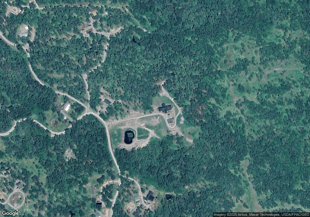
Map
Nearby Homes
- 11552 S Whitetail Rd
- 8 Snowy Owl Ln
- 9 Snowy Owl Ln
- 7 Snowy Owl Ln
- 6 Snowy Owl Ln
- 14 Snowy Owl Ln
- 5 Snowy Owl Ln
- 15 Snowy Owl Ln
- 4 Snowy Owl Ln
- 16 Snowy Owl Ln
- 3 Snowy Owl Ln
- 17 Snowy Owl Ln
- 2 Red Owl Rd
- 1 Red Owl Rd
- 18 Red Owl Rd
- 19 Red Owl Rd
- 12022 Mount Highway 83
- 11974 Mt Highway 83
- 12554 Mt Highway 83
- 11357 Mt Highway 83
- 11254 S Whitetail Rd
- 11276 S Whitetail Rd
- 72 S Whitetail Rd
- 290 S Whitetail Rd
- 11368 S Whitetail Rd
- 148 Whitetail Rd
- 27785 Easy St
- 11373 S Whitetail Rd
- 11445 S Whitetail Rd
- 315 S Whitetail Rd
- 11479 S Whitetail Rd
- 27906 Meadow Creek Rd
- 11511 S Whitetail Rd
- 100 Whitetail Rd
- 522 S Whitetail Rd
- Nhn S Whitetail Rd
- 242 Whitetail Rd
- 1253 Meadow Creek Rd
- 458 N Whitetail Rd
- 27917 Easy St