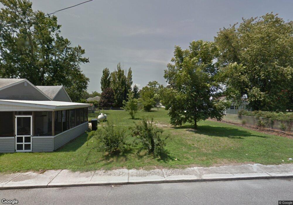
15 S Williams St Selbyville, DE 19975
Estimated Value: $120,367 - $355,000
3
Beds
--
Bath
1,566
Sq Ft
$183/Sq Ft
Est. Value
About This Home
This home is located at 15 S Williams St, Selbyville, DE 19975 and is currently estimated at $285,842, approximately $182 per square foot. 15 S Williams St is a home with nearby schools including Phillip C. Showell Elementary School, Selbyville Middle School, and Indian River High School.
Ownership History
Date
Name
Owned For
Owner Type
Purchase Details
Closed on
May 16, 2017
Sold by
Jbab Llc
Bought by
Cavan Deborah L
Current Estimated Value
Purchase Details
Closed on
Jan 27, 2014
Sold by
Burbage John H and Burbage Melissa L
Bought by
Jbab Llc
Purchase Details
Closed on
Jan 17, 2014
Sold by
Burbage John H and Burbage Melissa L
Bought by
Jbab Llc
Purchase Details
Closed on
Jun 22, 2012
Sold by
Jeff Jeff
Bought by
Burbage John H and Burbage Melissa L
Home Financials for this Owner
Home Financials are based on the most recent Mortgage that was taken out on this home.
Original Mortgage
$45,000
Interest Rate
3.78%
Mortgage Type
Purchase Money Mortgage
Create a Home Valuation Report for This Property
The Home Valuation Report is an in-depth analysis detailing your home's value as well as a comparison with similar homes in the area
Home Values in the Area
Average Home Value in this Area
Purchase History
| Date | Buyer | Sale Price | Title Company |
|---|---|---|---|
| Cavan Deborah L | $30,000 | None Available | |
| Jbab Llc | -- | -- | |
| Jbab Llc | -- | -- | |
| Burbage John H | $129,237 | -- |
Source: Public Records
Mortgage History
| Date | Status | Borrower | Loan Amount |
|---|---|---|---|
| Previous Owner | Burbage John H | $45,000 |
Source: Public Records
Tax History Compared to Growth
Tax History
| Year | Tax Paid | Tax Assessment Tax Assessment Total Assessment is a certain percentage of the fair market value that is determined by local assessors to be the total taxable value of land and additions on the property. | Land | Improvement |
|---|---|---|---|---|
| 2025 | $414 | $1,450 | $1,450 | $0 |
| 2024 | $356 | $1,450 | $1,450 | $0 |
| 2023 | $355 | $1,450 | $1,450 | $0 |
| 2022 | $343 | $1,450 | $1,450 | $0 |
| 2021 | $319 | $1,450 | $1,450 | $0 |
| 2020 | $305 | $1,450 | $1,450 | $0 |
| 2019 | $302 | $1,450 | $1,450 | $0 |
| 2018 | $313 | $13,650 | $0 | $0 |
| 2017 | $55 | $1,450 | $0 | $0 |
| 2016 | $49 | $1,450 | $0 | $0 |
| 2015 | $50 | $1,450 | $0 | $0 |
| 2014 | $49 | $1,450 | $0 | $0 |
Source: Public Records
Map
Nearby Homes
- 10 S Main St
- 21 Waterford Ln
- 12 Ellis Alley
- 18 W Mccabe St
- 36 W Church St
- 48 W Mccabe St
- 69 Bethany Rd
- 30193 Creekview Cir
- 30127 Creekview Cir
- 31444 Polly Branch Rd
- Lloyd Plan at Maple Crest
- Nelson Plan at Maple Crest
- Kramer Plan at Maple Crest
- Whatley Plan at Maple Crest
- Frank Plan at Maple Crest
- Reston Plan at Maple Crest
- Cartwright Plan at Maple Crest
- Peterman II Plan at Maple Crest
- Drake Plan at Maple Crest
- Vandelay Plan at Maple Crest
- 7 Bethany Rd
- 9 Bethany Rd
- 5 Bethany Rd
- 22 S Williams St
- 8 E Mc Cabe St
- 18 S Main St
- 1 Roxana Rd
- 26 Willington Dr S Unit 26-11
- 26 Willington Dr S
- 20 S Williams St
- 22 S Main St
- 18 S Williams St
- 0 Route 17 Unit 1001069412
- 0 Bethany Rd Unit 1001068244
- 0 Bethany Rd Unit 1001244576
- 0 Route 17 Unit 1001152498
- 0 Bethany Rd Unit 1001243588
- 0 Bethany Rd Unit 583829
- 0 Route 17 Unit 594981
- 0 Route 17 Unit DESU134748