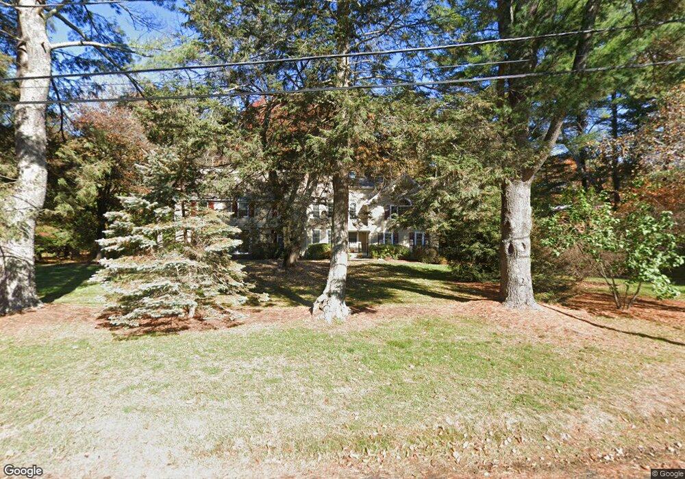
15 Sears Rd Weston, MA 02493
Estimated Value: $2,247,221 - $2,908,000
5
Beds
5
Baths
4,195
Sq Ft
$603/Sq Ft
Est. Value
About This Home
This home is located at 15 Sears Rd, Weston, MA 02493 and is currently estimated at $2,530,055, approximately $603 per square foot. 15 Sears Rd is a home located in Middlesex County with nearby schools including Country Elementary School, Woodland Elementary School, and Weston Middle School.
Ownership History
Date
Name
Owned For
Owner Type
Purchase Details
Closed on
May 13, 2021
Sold by
Westman Shirley J
Bought by
Shirley J Westman Ret and Westman
Current Estimated Value
Home Financials for this Owner
Home Financials are based on the most recent Mortgage that was taken out on this home.
Original Mortgage
$441,482
Outstanding Balance
$400,093
Interest Rate
3.1%
Mortgage Type
Stand Alone Refi Refinance Of Original Loan
Estimated Equity
$2,129,962
Purchase Details
Closed on
Jun 21, 1972
Bought by
Westman Donald C
Create a Home Valuation Report for This Property
The Home Valuation Report is an in-depth analysis detailing your home's value as well as a comparison with similar homes in the area
Home Values in the Area
Average Home Value in this Area
Purchase History
| Date | Buyer | Sale Price | Title Company |
|---|---|---|---|
| Shirley J Westman Ret | -- | None Available | |
| Shirley J Westman Ret | -- | None Available | |
| Westman Donald C | -- | -- |
Source: Public Records
Mortgage History
| Date | Status | Borrower | Loan Amount |
|---|---|---|---|
| Open | Shirley J Westman Ret | $441,482 |
Source: Public Records
Tax History Compared to Growth
Tax History
| Year | Tax Paid | Tax Assessment Tax Assessment Total Assessment is a certain percentage of the fair market value that is determined by local assessors to be the total taxable value of land and additions on the property. | Land | Improvement |
|---|---|---|---|---|
| 2025 | $19,120 | $1,722,500 | $850,300 | $872,200 |
| 2024 | $18,716 | $1,683,100 | $850,300 | $832,800 |
| 2023 | $18,781 | $1,586,200 | $850,300 | $735,900 |
| 2022 | $18,452 | $1,440,400 | $806,800 | $633,600 |
| 2021 | $17,812 | $1,372,300 | $768,600 | $603,700 |
| 2020 | $17,011 | $1,325,900 | $768,600 | $557,300 |
| 2019 | $16,371 | $1,300,300 | $747,600 | $552,700 |
| 2018 | $16,267 | $1,300,300 | $747,600 | $552,700 |
| 2017 | $16,124 | $1,300,300 | $747,600 | $552,700 |
| 2016 | $15,739 | $1,294,300 | $747,600 | $546,700 |
| 2015 | $15,264 | $1,243,000 | $712,000 | $531,000 |
Source: Public Records
Map
Nearby Homes
- 167 Conant Rd
- 1 Aberdeen Rd
- 3 October Ln
- 51 Church St
- 120 Church St
- 8 Jericho Rd Unit 8
- 24 Jericho Rd Unit 24
- 51 Willard Rd
- 52 Jericho Rd Unit 52
- 6 Overlook Dr
- 15 Whitney Tavern Rd
- 19 Warren Ln
- 5 Peakes Ln
- 121 Cherry Brook Rd
- 75 Westland Rd
- 17 Lexington St
- 416 Conant Rd
- 11 Winthrop Cir
- 6 Clifford Ln
- 3 Clifford Ln