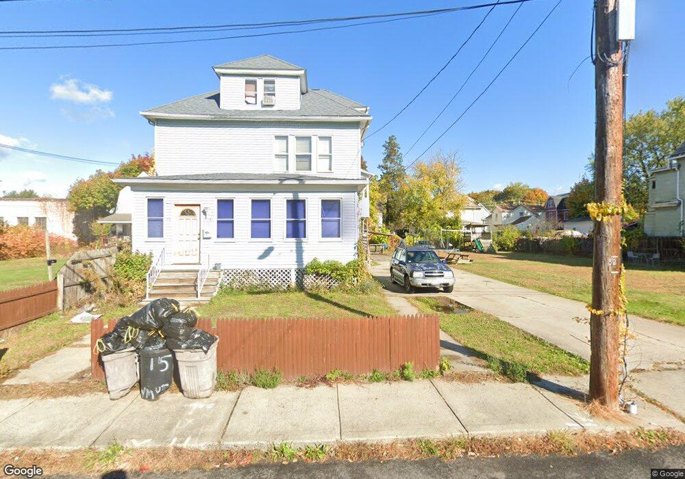
15 Shawmut Ave Unit 17 Holyoke, MA 01040
Estimated Value: $322,000 - $388,230
4
Beds
2
Baths
2,340
Sq Ft
$149/Sq Ft
Est. Value
About This Home
This home is located at 15 Shawmut Ave Unit 17, Holyoke, MA 01040 and is currently estimated at $347,808, approximately $148 per square foot. 15 Shawmut Ave Unit 17 is a home located in Hampden County with nearby schools including Lt. Elmer J. McMahon Elementary School, Holyoke High School, and First Lutheran Christian School.
Ownership History
Date
Name
Owned For
Owner Type
Purchase Details
Closed on
Mar 11, 2011
Sold by
King Robert L
Bought by
Holyoke City Of
Current Estimated Value
Purchase Details
Closed on
Nov 30, 2001
Sold by
Besancon Donald H and Besancon Eileen A
Bought by
King Robert L
Home Financials for this Owner
Home Financials are based on the most recent Mortgage that was taken out on this home.
Original Mortgage
$115,684
Interest Rate
6.66%
Mortgage Type
Purchase Money Mortgage
Create a Home Valuation Report for This Property
The Home Valuation Report is an in-depth analysis detailing your home's value as well as a comparison with similar homes in the area
Home Values in the Area
Average Home Value in this Area
Purchase History
| Date | Buyer | Sale Price | Title Company |
|---|---|---|---|
| Holyoke City Of | $198 | -- | |
| King Robert L | $117,500 | -- |
Source: Public Records
Mortgage History
| Date | Status | Borrower | Loan Amount |
|---|---|---|---|
| Previous Owner | King Robert L | $115,684 | |
| Previous Owner | King Robert L | $65,000 | |
| Previous Owner | King Robert L | $62,000 |
Source: Public Records
Tax History Compared to Growth
Tax History
| Year | Tax Paid | Tax Assessment Tax Assessment Total Assessment is a certain percentage of the fair market value that is determined by local assessors to be the total taxable value of land and additions on the property. | Land | Improvement |
|---|---|---|---|---|
| 2025 | $5,149 | $294,900 | $41,800 | $253,100 |
| 2024 | $4,766 | $251,500 | $39,700 | $211,800 |
| 2023 | $4,392 | $234,100 | $39,700 | $194,400 |
| 2022 | $4,411 | $229,000 | $39,700 | $189,300 |
| 2021 | $3,817 | $198,100 | $36,000 | $162,100 |
| 2020 | $3,541 | $185,600 | $36,000 | $149,600 |
| 2019 | $3,358 | $174,100 | $30,400 | $143,700 |
| 2018 | $3,137 | $164,000 | $30,400 | $133,600 |
| 2017 | $3,144 | $164,000 | $30,400 | $133,600 |
| 2016 | $3,025 | $158,200 | $30,400 | $127,800 |
| 2015 | $3,012 | $158,200 | $30,400 | $127,800 |
Source: Public Records
Map
Nearby Homes
- 12 Saint James Ave
- 68 Shawmut Ave
- 1114 Hampden St
- 1225 Hampden St
- 1657 Northampton St
- 1678 Northampton St
- 9-11 Arlington St
- 43 Woods Ave
- 165 Lincoln St
- 201 Locust St
- 68 Fairfield Ave
- 391 Pleasant St
- 996 Dwight St
- 129 Morgan St
- 12 School St
- 22 Lexington Ave
- 1793 Northampton St
- 20 Linden St
- 146 Beech St
- 187 Walnut St
- 15-17 Shawmut Ave
- 19 Shawmut Ave
- 5 Shawmut Ave
- 21 Shawmut Ave Unit 23
- 1454 Dwight St Unit 1456
- 1454 Dwight St Unit 1
- 1454-1456 Dwight St
- 1446 Dwight St
- 1466 Dwight St
- 1436 Dwight St
- 25 Shawmut Ave
- 3 Shawmut Ave
- 1422 Dwight St
- 6 Shawmut Ave
- 4 Shawmut Ave Unit 4
- 4 Shawmut Ave Unit 4 Shawmut Ave Unit 3
- 24 Shawmut Ave
- 24 Shawmut Ave
- 1421 Dwight St
- 33 Saint Jerome Ave