15 Sherman Rd North Reading, MA 01864
Estimated Value: $734,000 - $897,000
4
Beds
2
Baths
2,282
Sq Ft
$352/Sq Ft
Est. Value
About This Home
This home is located at 15 Sherman Rd, North Reading, MA 01864 and is currently estimated at $803,470, approximately $352 per square foot. 15 Sherman Rd is a home located in Middlesex County with nearby schools including Batchelder School, North Reading Middle School, and North Reading High School.
Ownership History
Date
Name
Owned For
Owner Type
Purchase Details
Closed on
Feb 20, 2019
Sold by
Cook Elise M
Bought by
Cook Elise M and Cook Joseph W
Current Estimated Value
Purchase Details
Closed on
Sep 15, 2011
Sold by
Lewis Meghan and Lewis Joshua
Bought by
Cook Elise M
Home Financials for this Owner
Home Financials are based on the most recent Mortgage that was taken out on this home.
Original Mortgage
$285,102
Interest Rate
4.38%
Mortgage Type
Purchase Money Mortgage
Purchase Details
Closed on
Jun 15, 2007
Sold by
Bonfanti Concey J
Bought by
Smith Charlotte H and Smith David K
Home Financials for this Owner
Home Financials are based on the most recent Mortgage that was taken out on this home.
Original Mortgage
$180,000
Interest Rate
6.19%
Mortgage Type
Purchase Money Mortgage
Create a Home Valuation Report for This Property
The Home Valuation Report is an in-depth analysis detailing your home's value as well as a comparison with similar homes in the area
Home Values in the Area
Average Home Value in this Area
Purchase History
| Date | Buyer | Sale Price | Title Company |
|---|---|---|---|
| Cook Elise M | -- | -- | |
| Cook Elise M | $279,000 | -- | |
| Cook Elise M | $279,000 | -- | |
| Smith Charlotte H | $367,000 | -- | |
| Smith Charlotte H | $367,000 | -- |
Source: Public Records
Mortgage History
| Date | Status | Borrower | Loan Amount |
|---|---|---|---|
| Previous Owner | Cook Elise M | $285,102 | |
| Previous Owner | Smith Charlotte H | $215,000 | |
| Previous Owner | Smith Charlotte H | $180,000 |
Source: Public Records
Tax History
| Year | Tax Paid | Tax Assessment Tax Assessment Total Assessment is a certain percentage of the fair market value that is determined by local assessors to be the total taxable value of land and additions on the property. | Land | Improvement |
|---|---|---|---|---|
| 2025 | $8,293 | $635,000 | $375,300 | $259,700 |
| 2024 | $7,830 | $592,700 | $353,800 | $238,900 |
| 2023 | $7,892 | $564,100 | $325,200 | $238,900 |
| 2022 | $7,859 | $523,900 | $295,500 | $228,400 |
| 2021 | $5,501 | $462,700 | $269,100 | $193,600 |
Source: Public Records
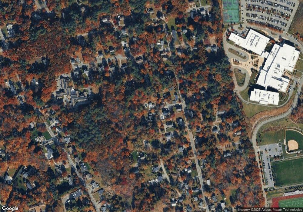
Map
Nearby Homes
- 114 Haverhill St
- 177 Haverhill St
- 12 Magnolia St
- 245 Elm St
- 36 Main St Unit 1
- 8 Cranberry Meadow Way
- 3 Greenbriar Dr Unit 106
- 3 Greenbriar Dr Unit 303
- 19 Pleasant St
- 2 Greenbriar Dr Unit 205
- 5 Greenbriar Dr Unit 107
- 1 Greenbriar Dr Unit 303
- 17 Marshall St
- 53 Park St
- 4 Hickory Ln
- 156 North St
- 15 Park St Unit A
- 15 Park St Unit B
- 15 Park St
- 27 Park St
Your Personal Tour Guide
Ask me questions while you tour the home.