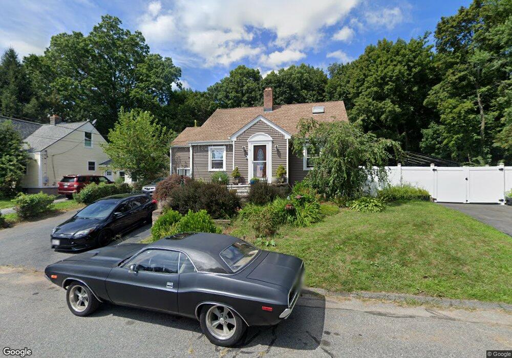
15 Sherwood Ave Unit 15 Shrewsbury, MA 01545
Estimated Value: $613,196 - $670,000
4
Beds
2
Baths
2,040
Sq Ft
$314/Sq Ft
Est. Value
About This Home
This home is located at 15 Sherwood Ave Unit 15, Shrewsbury, MA 01545 and is currently estimated at $641,049, approximately $314 per square foot. 15 Sherwood Ave Unit 15 is a home located in Worcester County with nearby schools including Sherwood Middle School, Floral Street School, and Oak Middle School.
Ownership History
Date
Name
Owned For
Owner Type
Purchase Details
Closed on
Apr 13, 2020
Sold by
Kelley James E
Bought by
Saade Jonathan and Saade Anthony
Current Estimated Value
Home Financials for this Owner
Home Financials are based on the most recent Mortgage that was taken out on this home.
Original Mortgage
$367,106
Outstanding Balance
$326,428
Interest Rate
3.6%
Mortgage Type
New Conventional
Estimated Equity
$314,621
Purchase Details
Closed on
Sep 15, 2015
Sold by
Singh Ravindra N and Singh Natalia N
Bought by
Kelley 2Nd James E
Home Financials for this Owner
Home Financials are based on the most recent Mortgage that was taken out on this home.
Original Mortgage
$274,510
Interest Rate
4.01%
Mortgage Type
New Conventional
Purchase Details
Closed on
Jul 31, 2002
Sold by
Johnson Stephen P and Johnson Melanie A
Bought by
Singh Ravindra N and Singh Natalia N
Create a Home Valuation Report for This Property
The Home Valuation Report is an in-depth analysis detailing your home's value as well as a comparison with similar homes in the area
Home Values in the Area
Average Home Value in this Area
Purchase History
| Date | Buyer | Sale Price | Title Company |
|---|---|---|---|
| Saade Jonathan | $402,900 | Misc Company | |
| Kelley 2Nd James E | $283,000 | -- | |
| Singh Ravindra N | $355,000 | -- | |
| Singh Ravindra N | $355,000 | -- |
Source: Public Records
Mortgage History
| Date | Status | Borrower | Loan Amount |
|---|---|---|---|
| Open | Saade Jonathan | $367,106 | |
| Closed | Saade Jonathan | $367,106 | |
| Previous Owner | Kelley 2Nd James E | $274,510 |
Source: Public Records
Tax History Compared to Growth
Tax History
| Year | Tax Paid | Tax Assessment Tax Assessment Total Assessment is a certain percentage of the fair market value that is determined by local assessors to be the total taxable value of land and additions on the property. | Land | Improvement |
|---|---|---|---|---|
| 2025 | $61 | $508,600 | $232,300 | $276,300 |
| 2024 | $5,696 | $460,100 | $221,200 | $238,900 |
| 2023 | $5,487 | $418,200 | $221,200 | $197,000 |
| 2022 | $5,494 | $389,400 | $192,400 | $197,000 |
| 2021 | $4,568 | $346,300 | $178,900 | $167,400 |
| 2020 | $4,180 | $335,200 | $192,400 | $142,800 |
| 2019 | $3,834 | $305,000 | $164,900 | $140,100 |
| 2018 | $3,609 | $285,100 | $149,400 | $135,700 |
| 2017 | $3,478 | $271,100 | $135,400 | $135,700 |
| 2016 | $3,562 | $274,000 | $126,400 | $147,600 |
| 2015 | $3,081 | $233,400 | $107,500 | $125,900 |
Source: Public Records
Map
Nearby Homes
- 15 Conifer Cir Unit 31
- 5 Conifer Cir Unit 28
- 3 Conifer Cir Unit 29
- 31 Oak St
- 129 A-B Maple Ave
- 21 Fiske St
- 25 Harriet Ave
- 43 Harriet Ave
- 33 Shady Lane Ave
- 129 Maple Ave
- 9 Heritage St
- 20 Williamsburg Ct Unit 21
- 26 Williamsburg Ct Unit 22
- 315 Maple Ave
- 102 Harrington Farms Way
- 29 Elma Cir
- 13 Kenilworth Rd
- 60 Harrington Farms Way Unit 60
- 9 Arnold Rd
- 175 Oak St
- 15 Sherwood Ave
- 13 Sherwood Ave
- 11 Sherwood Ave
- 9 Sherwood Ave
- 189 Maple Ave
- 14 Sherwood Ave
- 26 Hutchins St
- 15 Oak St
- 10 Sherwood Ave
- 11 Oak St
- 159-LFT Crescent (Left Side)
- LOT O Falcon Dr
- lot 1 Falcon Dr
- lot 0 Falcon Dr
- lot 10 Falcon Dr
- ROUTE 9 Christmass Tree Shop
- Lot 10 Trinity Cir
- 100 Confidential St
- 0 Sugar Loaf Island Unit 72937627
- 344 Confidential