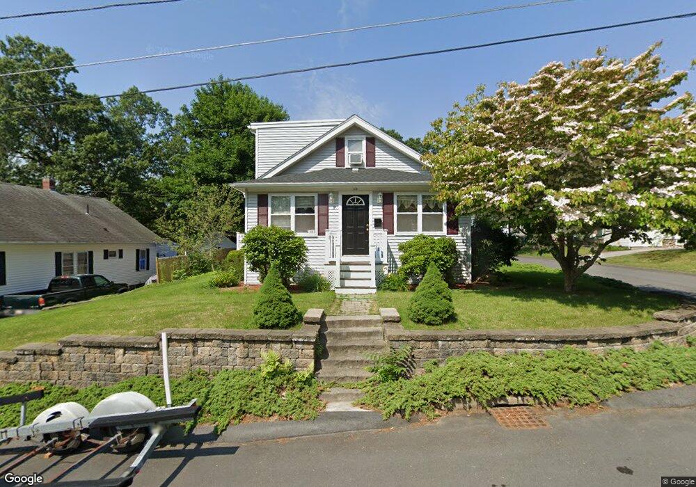
15 Shirley St Auburn, MA 01501
Stoneville NeighborhoodEstimated Value: $412,000 - $473,000
3
Beds
3
Baths
1,768
Sq Ft
$244/Sq Ft
Est. Value
About This Home
This home is located at 15 Shirley St, Auburn, MA 01501 and is currently estimated at $431,592, approximately $244 per square foot. 15 Shirley St is a home located in Worcester County with nearby schools including Auburn Senior High School and Shrewsbury Montessori School - Auburn Campus.
Ownership History
Date
Name
Owned For
Owner Type
Purchase Details
Closed on
Jun 6, 2022
Sold by
Anderson Donna B
Bought by
Donna B Anderson Ret
Current Estimated Value
Purchase Details
Closed on
Dec 1, 1992
Sold by
Ford Consumer Finance
Bought by
Anderson Donna B and Anderson John R
Purchase Details
Closed on
Jun 24, 1992
Sold by
Bostock James A
Bought by
Ford Consumer Finance
Create a Home Valuation Report for This Property
The Home Valuation Report is an in-depth analysis detailing your home's value as well as a comparison with similar homes in the area
Home Values in the Area
Average Home Value in this Area
Purchase History
| Date | Buyer | Sale Price | Title Company |
|---|---|---|---|
| Donna B Anderson Ret | -- | None Available | |
| Anderson Donna B | $77,000 | -- | |
| Ford Consumer Finance | $70,000 | -- |
Source: Public Records
Mortgage History
| Date | Status | Borrower | Loan Amount |
|---|---|---|---|
| Previous Owner | Ford Consumer Finance | $50,000 | |
| Previous Owner | Ford Consumer Finance | $72,000 |
Source: Public Records
Tax History Compared to Growth
Tax History
| Year | Tax Paid | Tax Assessment Tax Assessment Total Assessment is a certain percentage of the fair market value that is determined by local assessors to be the total taxable value of land and additions on the property. | Land | Improvement |
|---|---|---|---|---|
| 2025 | $51 | $354,400 | $110,400 | $244,000 |
| 2024 | $5,082 | $340,400 | $104,100 | $236,300 |
| 2023 | $5,050 | $318,000 | $94,700 | $223,300 |
| 2022 | $4,605 | $273,800 | $94,700 | $179,100 |
| 2021 | $5,253 | $231,100 | $83,500 | $147,600 |
| 2020 | $5,278 | $229,600 | $83,500 | $146,100 |
| 2019 | $4,119 | $223,600 | $82,700 | $140,900 |
| 2018 | $4,760 | $213,700 | $77,300 | $136,400 |
| 2017 | $3,688 | $201,100 | $70,100 | $131,000 |
| 2016 | $3,399 | $187,900 | $72,200 | $115,700 |
| 2015 | $3,129 | $181,300 | $72,200 | $109,100 |
| 2014 | $3,166 | $183,100 | $68,800 | $114,300 |
Source: Public Records
Map
Nearby Homes
- 8 Shirley St
- 5 Commonwealth Ave
- 176 Boyce St
- 177 Boyce St
- 25 Vinal St Unit 26
- 25 Vinal St Unit 29
- 25 Vinal St Unit 30
- 4 S Edlin St
- 20 Alpine Trail
- 2 Keen St
- 34 Rockland Rd
- 177 Oxford St N
- 37 Elmwood St
- 53 James St
- 61 Elmwood St
- 33 Walsh Ave
- 31-33 Walsh Ave
- 31 Walsh Ave
- 19-20 Williams St
- 148 Hampton St