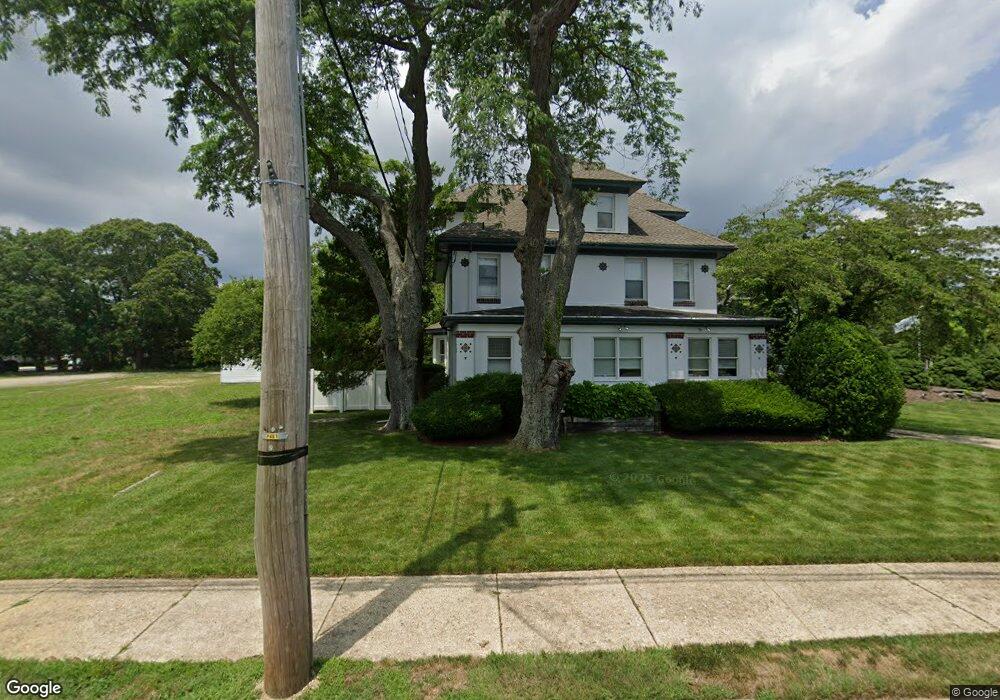
15 Shore Rd Linwood, NJ 08221
Estimated Value: $366,000
--
Bed
--
Bath
520
Sq Ft
$704/Sq Ft
Est. Value
About This Home
This home is located at 15 Shore Rd, Linwood, NJ 08221 and is currently priced at $366,000, approximately $703 per square foot. 15 Shore Rd is a home with nearby schools including Seaview Elementary School, Belhaven Middle School, and Mainland Regional High School.
Ownership History
Date
Name
Owned For
Owner Type
Purchase Details
Closed on
Jan 13, 2023
Sold by
Gallagher Daniel and Gallagher Denise
Bought by
Koch Ian and Fountain Alyssa
Current Estimated Value
Purchase Details
Closed on
Mar 27, 2015
Sold by
Fishermans Harbor Llc
Bought by
Gallagher Daniel J and Gallagher Denise
Purchase Details
Closed on
Dec 16, 2011
Sold by
South Fork Mortgage Corporation
Bought by
Fishermans Harbor Llc
Purchase Details
Closed on
Apr 17, 2008
Sold by
Jela Corp
Bought by
Southfork Mtg Co
Purchase Details
Closed on
Dec 3, 2003
Sold by
Ridgway Theodore S
Bought by
15 Shore Llc
Purchase Details
Closed on
Oct 22, 2003
Sold by
Ridgway Theodore S
Bought by
15 Shore Llc
Create a Home Valuation Report for This Property
The Home Valuation Report is an in-depth analysis detailing your home's value as well as a comparison with similar homes in the area
Home Values in the Area
Average Home Value in this Area
Purchase History
| Date | Buyer | Sale Price | Title Company |
|---|---|---|---|
| Koch Ian | $835,000 | Infinity Title | |
| Gallagher Daniel J | -- | None Available | |
| Fishermans Harbor Llc | -- | None Available | |
| Southfork Mtg Co | -- | None Available | |
| 15 Shore Llc | -- | -- | |
| 15 Shore Llc | -- | -- |
Source: Public Records
Tax History Compared to Growth
Tax History
| Year | Tax Paid | Tax Assessment Tax Assessment Total Assessment is a certain percentage of the fair market value that is determined by local assessors to be the total taxable value of land and additions on the property. | Land | Improvement |
|---|---|---|---|---|
| 2023 | $4,060 | $111,600 | $76,500 | $35,100 |
| 2022 | $4,060 | $111,600 | $76,500 | $35,100 |
| 2021 | $4,024 | $111,600 | $76,500 | $35,100 |
| 2020 | $3,969 | $111,600 | $76,500 | $35,100 |
| 2019 | $3,884 | $111,600 | $76,500 | $35,100 |
| 2018 | $3,797 | $111,600 | $76,500 | $35,100 |
| 2017 | $4,621 | $138,600 | $109,700 | $28,900 |
| 2016 | $4,466 | $138,600 | $109,700 | $28,900 |
| 2015 | $4,470 | $138,600 | $109,700 | $28,900 |
| 2014 | $4,297 | $138,600 | $109,700 | $28,900 |
Source: Public Records
Map
Nearby Homes
- 41 E Vernon Ave
- 108 E Vernon Ave
- 102 E Glencove Ave
- 301 Wabash Ave
- 100 E Rosedale Ave
- 605 Shore Rd
- 413 W Oakcrest Ave
- 210 Haines Ave
- 130 Wilson Ave
- 309 Haines Ave
- 550 Central Ave Unit M3
- 550 Central Ave Unit B1
- 550 Central Ave Unit 4
- 550 Central Ave Unit G-16 Constitution Ct
- 550 Central Ave Unit E-14
- 550 Central Ave Unit I-7
- 104 W Poplar Ave
- 550 G-16 Central Ave
- 110 W Poplar Ave
- 608 Revere Ave