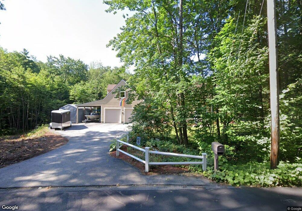
15 Snook Rd Goffstown, NH 03045
Estimated Value: $570,263 - $611,000
3
Beds
2
Baths
1,860
Sq Ft
$318/Sq Ft
Est. Value
About This Home
This home is located at 15 Snook Rd, Goffstown, NH 03045 and is currently estimated at $590,566, approximately $317 per square foot. 15 Snook Rd is a home with nearby schools including Mountain View Middle School and Goffstown High School.
Ownership History
Date
Name
Owned For
Owner Type
Purchase Details
Closed on
Sep 2, 1997
Sold by
Sampo Vincent E
Bought by
Whitney David W and Whitney Liane E
Current Estimated Value
Home Financials for this Owner
Home Financials are based on the most recent Mortgage that was taken out on this home.
Original Mortgage
$132,158
Interest Rate
7.41%
Create a Home Valuation Report for This Property
The Home Valuation Report is an in-depth analysis detailing your home's value as well as a comparison with similar homes in the area
Home Values in the Area
Average Home Value in this Area
Purchase History
| Date | Buyer | Sale Price | Title Company |
|---|---|---|---|
| Whitney David W | $134,000 | -- |
Source: Public Records
Mortgage History
| Date | Status | Borrower | Loan Amount |
|---|---|---|---|
| Open | Whitney David W | $206,500 | |
| Closed | Whitney David W | $20,000 | |
| Closed | Whitney David W | $222,900 | |
| Closed | Whitney David W | $132,158 |
Source: Public Records
Tax History Compared to Growth
Tax History
| Year | Tax Paid | Tax Assessment Tax Assessment Total Assessment is a certain percentage of the fair market value that is determined by local assessors to be the total taxable value of land and additions on the property. | Land | Improvement |
|---|---|---|---|---|
| 2024 | $9,613 | $470,300 | $182,900 | $287,400 |
| 2023 | $8,870 | $470,300 | $182,900 | $287,400 |
| 2022 | $7,811 | $296,900 | $113,900 | $183,000 |
| 2021 | $7,369 | $296,900 | $113,900 | $183,000 |
| 2020 | $7,369 | $296,900 | $113,900 | $183,000 |
| 2019 | $7,298 | $296,900 | $113,900 | $183,000 |
| 2018 | $5,522 | $296,900 | $113,900 | $183,000 |
| 2017 | $7,162 | $261,200 | $102,700 | $158,500 |
| 2016 | $6,904 | $261,200 | $102,700 | $158,500 |
| 2015 | $6,801 | $241,500 | $85,900 | $155,600 |
| 2014 | $6,521 | $241,500 | $85,900 | $155,600 |
Source: Public Records
Map
Nearby Homes
- 88 Saunders Rd
- 22 Fairway Dr
- 80 N Mast St
- 72 N Mast St
- 72 N Mast St Unit 1
- 0 Fairway Dr Unit 11
- 18 Country Club Dr
- 33 Orchard St
- 232 N Mast St
- 116 Winter Hill Rd
- 99 Elm St
- 8 Orchard Hill Rd
- 371 Tibbetts Hill Rd
- 45 Range Rd
- 25 Pleasant St
- 12 S Mast St
- 602 Black Brook Rd
- 567 Black Brook Rd
- 186 Kimball Pond Rd
- 120 S Mast St
- 19 Snook Rd
- 25 Snook Rd
- 29 Snook Rd
- 303 Pattee Hill Rd
- 245 Pattee Hill Rd
- 327 Pattee Hill Rd
- 27 Stinson Rd
- 232 Pattee Hill Rd
- 127 Stinson Rd
- 2 Up A Way Farm Rd
- 225 Pattee Hill Rd
- 24 Tenney Rd
- 219 Pattee Hill Rd
- 14 Tenney Rd
- 95 Snook Rd
- 7 Stinson Rd Unit 15
- 96 Snook Rd
- 12 Stinson Rd
- 17 Tenney Rd
- 20 Stinson Rd