15 Snug Harbor Dr Danbury, CT 06811
Estimated Value: $732,000 - $1,552,448
3
Beds
2
Baths
2,017
Sq Ft
$582/Sq Ft
Est. Value
About This Home
This home is located at 15 Snug Harbor Dr, Danbury, CT 06811 and is currently estimated at $1,173,112, approximately $581 per square foot. 15 Snug Harbor Dr is a home located in Fairfield County with nearby schools including Great Plain School, Broadview Middle School, and Danbury High School.
Ownership History
Date
Name
Owned For
Owner Type
Purchase Details
Closed on
Mar 3, 1998
Sold by
Wolf Marion H
Bought by
Brand David and Brand Susan
Current Estimated Value
Purchase Details
Closed on
Aug 26, 1994
Sold by
Stanger Jeffrey and Stanger Eve
Bought by
Tabb Stephen and Tabb Jeanette
Purchase Details
Closed on
Feb 23, 1989
Sold by
Somers John
Bought by
Murtha Patrick
Purchase Details
Closed on
Jul 13, 1987
Sold by
Shain Edward
Bought by
Stanger Jeffrey
Purchase Details
Closed on
May 21, 1987
Sold by
Jones Mattha
Bought by
Hoerger William
Create a Home Valuation Report for This Property
The Home Valuation Report is an in-depth analysis detailing your home's value as well as a comparison with similar homes in the area
Home Values in the Area
Average Home Value in this Area
Purchase History
| Date | Buyer | Sale Price | Title Company |
|---|---|---|---|
| Brand David | $385,000 | -- | |
| Tabb Stephen | $86,000 | -- | |
| Murtha Patrick | $200,000 | -- | |
| Stanger Jeffrey | $515,000 | -- | |
| Hoerger William | $205,000 | -- |
Source: Public Records
Mortgage History
| Date | Status | Borrower | Loan Amount |
|---|---|---|---|
| Open | Hoerger William | $625,000 | |
| Closed | Hoerger William | $635,000 |
Source: Public Records
Tax History Compared to Growth
Tax History
| Year | Tax Paid | Tax Assessment Tax Assessment Total Assessment is a certain percentage of the fair market value that is determined by local assessors to be the total taxable value of land and additions on the property. | Land | Improvement |
|---|---|---|---|---|
| 2025 | $21,751 | $870,380 | $589,330 | $281,050 |
| 2024 | $21,272 | $870,380 | $589,330 | $281,050 |
| 2023 | $20,306 | $870,380 | $589,330 | $281,050 |
| 2022 | $21,307 | $772,000 | $599,600 | $172,400 |
| 2021 | $21,307 | $772,000 | $599,600 | $172,400 |
| 2020 | $21,307 | $772,000 | $599,600 | $172,400 |
| 2019 | $21,307 | $772,000 | $599,600 | $172,400 |
| 2018 | $21,307 | $772,000 | $599,600 | $172,400 |
| 2017 | $17,966 | $620,600 | $499,100 | $121,500 |
| 2016 | $17,799 | $620,600 | $499,100 | $121,500 |
| 2015 | $17,538 | $620,600 | $499,100 | $121,500 |
| 2014 | $17,129 | $620,600 | $499,100 | $121,500 |
Source: Public Records
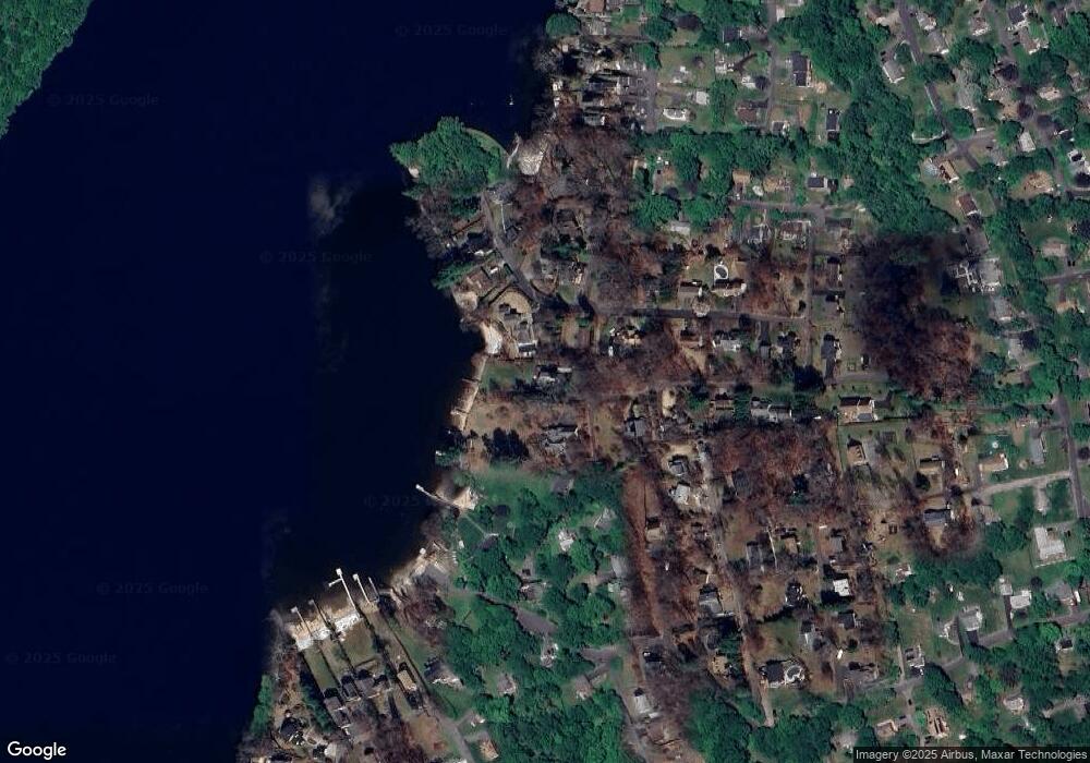
Map
Nearby Homes
- 51 Vista Ave
- 3 Moody Ln
- 6 Vista St
- 2 High Rise Rd
- 47 Blackberry Rd
- 36 Waterview Dr
- 8 Great Meadow Rd
- 15 Coach Hill
- 1 Marker Rd
- 256B Great Plain Rd
- 20 Laura Dr
- 27 Glendale Dr
- 262 Great Plain Rd
- 266 Great Plain Rd
- 255 Great Plain Rd
- 20 Jackson Dr
- 0 Walnut Trail Unit 89
- 42 Corn Tassle Rd
- 58 Cedar Dr
- 16 Hayestown Rd Unit A403