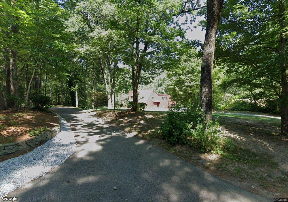
15 Springvale Dr Hollis, NH 03049
Hollis NeighborhoodEstimated Value: $812,867 - $923,000
4
Beds
3
Baths
2,800
Sq Ft
$309/Sq Ft
Est. Value
About This Home
This home is located at 15 Springvale Dr, Hollis, NH 03049 and is currently estimated at $864,967, approximately $308 per square foot. 15 Springvale Dr is a home located in Hillsborough County with nearby schools including Hollis Primary School, Hollis Upper Elementary School, and Hollis-Brookline Middle School.
Ownership History
Date
Name
Owned For
Owner Type
Purchase Details
Closed on
Mar 21, 2011
Sold by
Bonfanti Colin P and Bonfanti Patricia A
Bought by
Watson Jonathan D
Current Estimated Value
Home Financials for this Owner
Home Financials are based on the most recent Mortgage that was taken out on this home.
Original Mortgage
$304,700
Interest Rate
4.84%
Mortgage Type
Purchase Money Mortgage
Purchase Details
Closed on
May 15, 2001
Sold by
Seaburg Ann M
Bought by
Bonfanit Colin P and Bonfanit Patricia A
Home Financials for this Owner
Home Financials are based on the most recent Mortgage that was taken out on this home.
Original Mortgage
$225,000
Interest Rate
6.88%
Create a Home Valuation Report for This Property
The Home Valuation Report is an in-depth analysis detailing your home's value as well as a comparison with similar homes in the area
Home Values in the Area
Average Home Value in this Area
Purchase History
| Date | Buyer | Sale Price | Title Company |
|---|---|---|---|
| Watson Jonathan D | $382,500 | -- | |
| Bonfanit Colin P | $350,000 | -- |
Source: Public Records
Mortgage History
| Date | Status | Borrower | Loan Amount |
|---|---|---|---|
| Open | Bonfanit Colin P | $295,000 | |
| Closed | Bonfanit Colin P | $304,700 | |
| Previous Owner | Bonfanit Colin P | $400,000 | |
| Previous Owner | Bonfanit Colin P | $225,000 |
Source: Public Records
Tax History Compared to Growth
Tax History
| Year | Tax Paid | Tax Assessment Tax Assessment Total Assessment is a certain percentage of the fair market value that is determined by local assessors to be the total taxable value of land and additions on the property. | Land | Improvement |
|---|---|---|---|---|
| 2024 | $12,266 | $691,800 | $282,200 | $409,600 |
| 2023 | $11,525 | $691,800 | $282,200 | $409,600 |
| 2022 | $15,614 | $691,800 | $282,200 | $409,600 |
| 2021 | $10,517 | $463,300 | $184,900 | $278,400 |
| 2020 | $7,763 | $463,300 | $184,900 | $278,400 |
| 2019 | $5,112 | $463,300 | $184,900 | $278,400 |
| 2018 | $9,167 | $463,300 | $184,900 | $278,400 |
| 2017 | $9,223 | $398,400 | $160,300 | $238,100 |
| 2016 | $9,335 | $398,400 | $160,300 | $238,100 |
| 2015 | $9,171 | $398,400 | $160,300 | $238,100 |
| 2014 | $9,215 | $398,400 | $160,300 | $238,100 |
| 2013 | $9,091 | $398,400 | $160,300 | $238,100 |
Source: Public Records
Map
Nearby Homes
- 118 Broad St
- 40-40A Pine Hill Rd
- 77 Broad St
- 199 Pine Hill Rd
- 95 Wright Rd
- 7 Lovejoy Ln
- 11 Rideout Rd
- 45 Long Hill Rd
- 334 Broad St
- 28 Bartemus Trail Unit U210
- 76 Bartemus Trail Unit U231
- 9-48-8 Ladd Ln
- 1 Ladd Ln
- 11 Bartemus Trail Unit 204
- 5 Plainfield Ln
- 22 Cathedral Cir
- 3 Wood Ln
- 20 Martha St
- 6 Cornwall Ln Unit 7
- 14 Parrish Hill Dr
- 18 Springvale Dr
- 7 Springvale Dr
- 14 Springvale Dr
- 1 Springvale Dr
- 10 Springvale Dr
- 3 Springvale Dr
- 30 Crestwood Dr
- 2 Springvale Dr
- 34 Crestwood Dr
- 22 Crestwood Dr
- 144 Broad St
- 29 Crestwood Dr
- 38 Crestwood Dr
- 16 Crestwood Dr
- 132 Broad St
- 164 Broad St
- 117 Pine Hill Rd
- 33 Crestwood Dr
- 115 Pine Hill Rd
- 42 Crestwood Dr