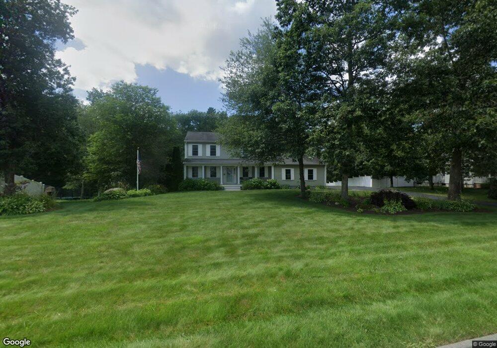
15 Tanner Ln Fairhaven, MA 02719
East Fairhaven NeighborhoodEstimated Value: $666,000 - $855,000
Studio
3
Baths
2,016
Sq Ft
$366/Sq Ft
Est. Value
About This Home
This home is located at 15 Tanner Ln, Fairhaven, MA 02719 and is currently estimated at $737,553, approximately $365 per square foot. 15 Tanner Ln is a home located in Bristol County with nearby schools including Fairhaven High School, City On A Hill Charter Public School New Bedford, and St. Joseph School.
Ownership History
Date
Name
Owned For
Owner Type
Purchase Details
Closed on
May 24, 2019
Sold by
Desrosiers Susan L
Bought by
Richard & Susan Poyant Rt
Current Estimated Value
Purchase Details
Closed on
Aug 22, 2003
Sold by
Desrosiers Paul E and Desrosiers Susan L
Bought by
Desrosiers Susan L
Purchase Details
Closed on
Feb 12, 1999
Sold by
Howard Farms Bldrs Lp and Renaud Raymond J
Bought by
Desrosers Paul E and Desrosers Susan L
Create a Home Valuation Report for This Property
The Home Valuation Report is an in-depth analysis detailing your home's value as well as a comparison with similar homes in the area
Home Values in the Area
Average Home Value in this Area
Purchase History
| Date | Buyer | Sale Price | Title Company |
|---|---|---|---|
| Richard & Susan Poyant Rt | -- | -- | |
| Desrosiers Susan L | -- | -- | |
| Desrosers Paul E | $237,380 | -- |
Source: Public Records
Mortgage History
| Date | Status | Borrower | Loan Amount |
|---|---|---|---|
| Previous Owner | Desrosers Paul E | $239,000 | |
| Previous Owner | Desrosers Paul E | $25,000 | |
| Previous Owner | Desrosers Paul E | $253,500 |
Source: Public Records
Tax History
| Year | Tax Paid | Tax Assessment Tax Assessment Total Assessment is a certain percentage of the fair market value that is determined by local assessors to be the total taxable value of land and additions on the property. | Land | Improvement |
|---|---|---|---|---|
| 2025 | $61 | $659,000 | $278,200 | $380,800 |
| 2024 | $5,909 | $640,200 | $278,200 | $362,000 |
| 2023 | $5,796 | $582,500 | $240,700 | $341,800 |
| 2022 | $5,601 | $548,000 | $219,700 | $328,300 |
| 2021 | $5,476 | $485,000 | $200,200 | $284,800 |
| 2020 | $5,364 | $485,000 | $200,200 | $284,800 |
| 2019 | $5,080 | $435,300 | $172,300 | $263,000 |
| 2018 | $4,951 | $413,500 | $164,200 | $249,300 |
| 2017 | $4,822 | $400,500 | $158,200 | $242,300 |
| 2016 | $4,600 | $377,700 | $155,200 | $222,500 |
| 2015 | $4,534 | $373,200 | $155,200 | $218,000 |
Source: Public Records
Map
Nearby Homes
- 3 Earle St
- 421 Huttleston Ave
- 00 Huttleston Ave
- 33 Narragansett Blvd
- 00 Copeland St
- 181 Washington St
- 3.5 Golf St
- 8 Manor Dr
- 190 Sconticut Neck Rd
- 58 Bayview Ave
- 27 Bayview Ave
- 15 Bayview Ave
- 15 School St
- 77 Adams St
- 16 Ash St
- 7 Deerfield Ln
- 39 Christian St
- 20 Nantucket Dr
- 0 Whalers Way
- 145 Pleasant St
Your Personal Tour Guide
Ask me questions while you tour the home.