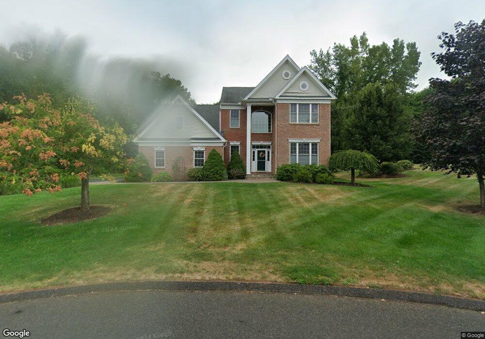
15 Timothy Ln Bloomfield, CT 06002
Estimated Value: $772,534 - $849,000
3
Beds
3
Baths
3,429
Sq Ft
$240/Sq Ft
Est. Value
About This Home
This home is located at 15 Timothy Ln, Bloomfield, CT 06002 and is currently estimated at $821,384, approximately $239 per square foot. 15 Timothy Ln is a home located in Hartford County with nearby schools including Laurel School, Carmen Arace Intermediate School, and Metacomet School.
Ownership History
Date
Name
Owned For
Owner Type
Purchase Details
Closed on
Jul 12, 2005
Sold by
Toll Connecticut 2 Lp
Bought by
Olmstead Gwendolyn
Current Estimated Value
Home Financials for this Owner
Home Financials are based on the most recent Mortgage that was taken out on this home.
Original Mortgage
$55,000
Interest Rate
5.25%
Mortgage Type
Purchase Money Mortgage
Create a Home Valuation Report for This Property
The Home Valuation Report is an in-depth analysis detailing your home's value as well as a comparison with similar homes in the area
Home Values in the Area
Average Home Value in this Area
Purchase History
| Date | Buyer | Sale Price | Title Company |
|---|---|---|---|
| Olmstead Gwendolyn | $539,658 | -- | |
| Olmstead Gwendolyn | $539,658 | -- |
Source: Public Records
Mortgage History
| Date | Status | Borrower | Loan Amount |
|---|---|---|---|
| Closed | Olmstead Gwendolyn | $55,000 |
Source: Public Records
Tax History Compared to Growth
Tax History
| Year | Tax Paid | Tax Assessment Tax Assessment Total Assessment is a certain percentage of the fair market value that is determined by local assessors to be the total taxable value of land and additions on the property. | Land | Improvement |
|---|---|---|---|---|
| 2025 | $20,520 | $547,190 | $51,660 | $495,530 |
| 2024 | $12,303 | $313,530 | $51,660 | $261,870 |
| 2023 | $12,080 | $313,530 | $51,660 | $261,870 |
| 2022 | $11,296 | $313,530 | $51,660 | $261,870 |
| 2021 | $11,547 | $313,530 | $51,660 | $261,870 |
| 2020 | $11,369 | $313,530 | $51,660 | $261,870 |
| 2019 | $12,121 | $313,530 | $51,660 | $261,870 |
| 2018 | $12,714 | $329,210 | $51,660 | $277,550 |
| 2017 | $12,694 | $329,210 | $51,660 | $277,550 |
| 2016 | $13,077 | $347,340 | $51,660 | $295,680 |
| 2015 | $12,834 | $347,340 | $51,660 | $295,680 |
| 2014 | $13,968 | $390,810 | $51,660 | $339,150 |
Source: Public Records
Map
Nearby Homes
- 30 Vista Way
- 10 Foothills Way
- 119 Wadhams Rd
- 5 Butternut Dr
- 10 Butternut Dr
- 8 Roberts Rd
- 6 Wild Rose Ct Unit 6
- 23 Hawthorne Ln Unit 23
- 76 Silo Way Unit 76
- 70 Tunxis Ave
- 18 Nolan Dr
- 108 Woodland Ave
- 234 Woodland Ave
- 394 Tunxis Ave
- 28 Carpenter Ln
- 208 Castlewood Dr Unit 208
- 11 Boysen Dr
- 40 Mountain Ave
- 67 Adams Rd
- 23 Loeffler Rd