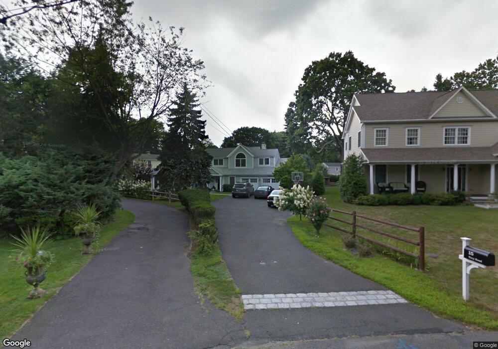
15 Tory Rd Riverside, CT 06878
Estimated Value: $1,798,000 - $2,280,000
4
Beds
3
Baths
2,059
Sq Ft
$988/Sq Ft
Est. Value
About This Home
This home is located at 15 Tory Rd, Riverside, CT 06878 and is currently estimated at $2,033,909, approximately $987 per square foot. 15 Tory Rd is a home located in Fairfield County with nearby schools including North Mianus School, Eastern Middle School, and Greenwich High School.
Ownership History
Date
Name
Owned For
Owner Type
Purchase Details
Closed on
Oct 1, 1999
Sold by
Kano Eishin and Kano Shoko
Bought by
Alfano Francis J and Alfano Livingston-Alfano L
Current Estimated Value
Purchase Details
Closed on
Jul 16, 1996
Sold by
Roy Simon P and Whitehurst-Roy Julia
Bought by
Kano Eishin and Kano Shoko
Purchase Details
Closed on
Apr 25, 1994
Sold by
Franchella Nicholas and Franchella Dale
Bought by
Roy Simon and Whitehurst Roy Julia
Create a Home Valuation Report for This Property
The Home Valuation Report is an in-depth analysis detailing your home's value as well as a comparison with similar homes in the area
Home Values in the Area
Average Home Value in this Area
Purchase History
| Date | Buyer | Sale Price | Title Company |
|---|---|---|---|
| Alfano Francis J | $610,000 | -- | |
| Kano Eishin | $461,500 | -- | |
| Roy Simon | $400,000 | -- |
Source: Public Records
Mortgage History
| Date | Status | Borrower | Loan Amount |
|---|---|---|---|
| Closed | Roy Simon | $243,900 | |
| Open | Roy Simon | $591,000 | |
| Closed | Roy Simon | $50,000 |
Source: Public Records
Tax History
| Year | Tax Paid | Tax Assessment Tax Assessment Total Assessment is a certain percentage of the fair market value that is determined by local assessors to be the total taxable value of land and additions on the property. | Land | Improvement |
|---|---|---|---|---|
| 2025 | $9,997 | $808,850 | $514,080 | $294,770 |
| 2024 | $9,654 | $808,850 | $514,080 | $294,770 |
| 2023 | $9,412 | $808,850 | $514,080 | $294,770 |
| 2022 | $9,326 | $808,850 | $514,080 | $294,770 |
| 2021 | $9,938 | $825,440 | $441,980 | $383,460 |
| 2020 | $9,922 | $825,440 | $441,980 | $383,460 |
| 2019 | $10,021 | $825,440 | $441,980 | $383,460 |
| 2018 | $9,798 | $825,440 | $441,980 | $383,460 |
| 2017 | $9,921 | $825,440 | $441,980 | $383,460 |
| 2016 | $9,764 | $825,440 | $441,980 | $383,460 |
| 2015 | $9,056 | $759,430 | $493,430 | $266,000 |
| 2014 | $8,828 | $759,430 | $493,430 | $266,000 |
Source: Public Records
Map
Nearby Homes
- 112 Sheephill Rd
- 120 Florence Rd
- 45 Sunshine Ave
- 5 Sunshine Ave
- 33 Halsey Dr
- 98 Hillcrest Park Rd
- 23 Thornhill Rd
- 9 Stuart Dr
- 1535 E Putnam Ave Unit 304
- 1535 E Putnam Ave Unit 205
- 1535 E Putnam Ave Unit 307
- 77 Havemeyer Ln Unit 301
- 77 Havemeyer Ln Unit 58
- 23 Westview Place
- 45 Hillcrest Park Rd
- 45 Hillcrest Park Rd
- 420 Valley Rd
- 24 Decatur St Unit 2
- 88 Starin Dr
- 17 Maple Dr
Your Personal Tour Guide
Ask me questions while you tour the home.