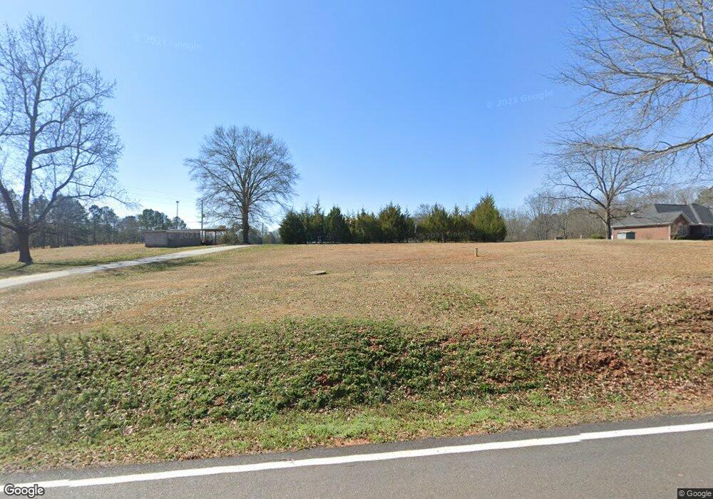
15 Valley Rd Colbert, GA 30628
Estimated Value: $258,000 - $359,000
--
Bed
--
Bath
1,549
Sq Ft
$204/Sq Ft
Est. Value
About This Home
This home is located at 15 Valley Rd, Colbert, GA 30628 and is currently estimated at $315,943, approximately $203 per square foot. 15 Valley Rd is a home with nearby schools including Madison County High School.
Ownership History
Date
Name
Owned For
Owner Type
Purchase Details
Closed on
Dec 13, 2024
Sold by
Sykes Turner Annie E
Bought by
Turner Dandre
Current Estimated Value
Purchase Details
Closed on
Oct 3, 2012
Sold by
Chappell Patrick L
Bought by
Sykes Turner Annie E and Sykes Turner
Purchase Details
Closed on
Mar 3, 2011
Sold by
Towsend Susie Sykes and Sikes Mattie L
Bought by
Turner Annie E Sykes
Purchase Details
Closed on
Nov 7, 2010
Sold by
Townsend White Susie Sykes
Bought by
Sykes Turner Anne
Purchase Details
Closed on
Jan 1, 1975
Bought by
Sikes Mattie L
Create a Home Valuation Report for This Property
The Home Valuation Report is an in-depth analysis detailing your home's value as well as a comparison with similar homes in the area
Purchase History
| Date | Buyer | Sale Price | Title Company |
|---|---|---|---|
| Turner Dandre | -- | -- | |
| Sykes Turner Annie E | -- | -- | |
| Sykes Turner Annie E | -- | -- | |
| Sykes Turner Annie E | -- | -- | |
| Sykes Turner Annie E | -- | -- | |
| Turner Annie E Sykes | -- | -- | |
| Sykes Turner Anne | -- | -- | |
| Sikes Mattie L | -- | -- |
Source: Public Records
Tax History Compared to Growth
Tax History
| Year | Tax Paid | Tax Assessment Tax Assessment Total Assessment is a certain percentage of the fair market value that is determined by local assessors to be the total taxable value of land and additions on the property. | Land | Improvement |
|---|---|---|---|---|
| 2025 | $2,805 | $110,398 | $9,074 | $101,324 |
| 2024 | $2,325 | $107,336 | $9,074 | $98,262 |
| 2023 | $3,046 | $99,772 | $7,562 | $92,210 |
| 2022 | $1,768 | $87,191 | $5,198 | $81,993 |
| 2021 | $1,818 | $69,558 | $5,198 | $64,360 |
| 2020 | $1,808 | $68,802 | $4,442 | $64,360 |
| 2019 | $1,790 | $67,551 | $4,442 | $63,109 |
| 2018 | $1,725 | $65,314 | $4,064 | $61,250 |
| 2017 | $1,872 | $65,009 | $3,781 | $61,228 |
| 2016 | $1,314 | $55,779 | $3,436 | $52,343 |
| 2015 | $1,312 | $55,779 | $3,436 | $52,343 |
| 2014 | $1,324 | $55,990 | $3,376 | $52,614 |
| 2013 | -- | $16,263 | $4,610 | $11,653 |
Source: Public Records
Map
Nearby Homes
- 0 McCarty Dodd Rd Unit CL344009
- 0 McCarty Dodd Rd Unit 10646393
- 579 McCarty Dodd Rd
- 120 Harold's Way
- 95 Lola St
- 82 Fennell Ln
- 270 Lola St
- 0 Bluff Rd Unit 10591799
- 00 Kingston Rd
- 622 Linda St
- 0 Kingston Rd Unit 10531125
- 52 Willow Oak Cir
- 118 Kingston Rd
- 130 Live Oak Ln
- 199 Brickyard Rd
- 0 Lowe Rd Unit 10614126
- 12 Laurel Ave
- 3 Paoli St
- 81 Valley Rd
- 94 Valley Rd
- 114 Valley Rd
- 2642 Highway 72 W
- 2666 Highway 72 W
- 135 Valley Rd
- 2674 Highway 72 W
- 2702 Highway 72 W
- 2678 Highway 72 W
- 191 Valley Rd
- 2722 Highway 72 W
- 204 Valley Rd
- 228 Valley Rd
- 277 Valley Rd
- 531 Farm Rd
- 2620 Highway 72 W
- 351 Farm Rd
- 2258 Highway 72 W
- 2866 Highway 72 W
- 2866 Highway 72 W
