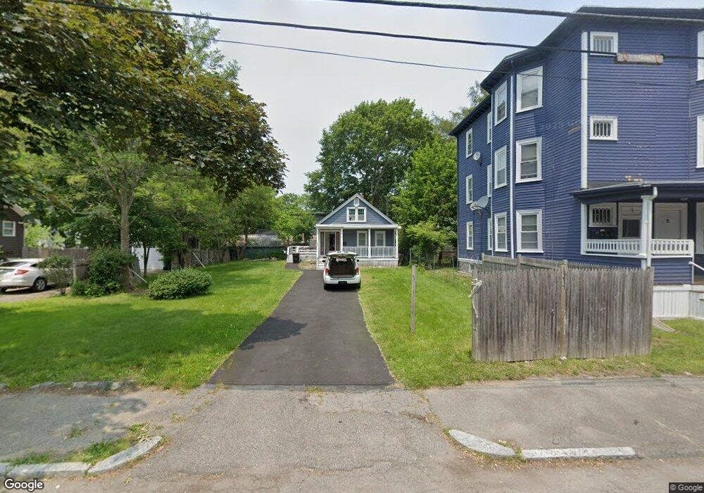
15 Vesey St Unit 1 Brockton, MA 02301
Clifton Heights NeighborhoodEstimated Value: $404,000 - $432,697
3
Beds
1
Bath
1,206
Sq Ft
$348/Sq Ft
Est. Value
About This Home
This home is located at 15 Vesey St Unit 1, Brockton, MA 02301 and is currently estimated at $419,174, approximately $347 per square foot. 15 Vesey St Unit 1 is a home located in Plymouth County with nearby schools including John F. Kennedy Elementary School, Davis K-8 School, and South Middle School.
Ownership History
Date
Name
Owned For
Owner Type
Purchase Details
Closed on
Mar 29, 2024
Sold by
Exantus Dagenor
Bought by
Dagenor Exantus T and Dagenor Exantus
Current Estimated Value
Purchase Details
Closed on
Jul 3, 2019
Sold by
Mcgovern Michael S and Thomas Anne M
Bought by
Exantus Dagenor
Home Financials for this Owner
Home Financials are based on the most recent Mortgage that was taken out on this home.
Original Mortgage
$212,657
Interest Rate
4.12%
Mortgage Type
FHA
Purchase Details
Closed on
Aug 29, 2016
Sold by
Mcgovern Michael S
Bought by
Mcgovern Michael S and Thomas Anne M
Purchase Details
Closed on
Jul 31, 2012
Sold by
Fnma
Bought by
Mcgovern Michael S
Purchase Details
Closed on
Nov 28, 2011
Sold by
Jones Melissa A and Bank Of America Na
Bought by
Federal National Mortgage Association
Purchase Details
Closed on
Mar 4, 1987
Sold by
Lynch Brenda
Bought by
Arnold Mary M
Create a Home Valuation Report for This Property
The Home Valuation Report is an in-depth analysis detailing your home's value as well as a comparison with similar homes in the area
Home Values in the Area
Average Home Value in this Area
Purchase History
| Date | Buyer | Sale Price | Title Company |
|---|---|---|---|
| Dagenor Exantus T | -- | None Available | |
| Dagenor Exantus T | -- | None Available | |
| Exantus Dagenor | $220,000 | -- | |
| Mcgovern Michael S | -- | -- | |
| Mcgovern Michael S | -- | -- | |
| Mcgovern Michael S | $55,000 | -- | |
| Federal National Mortgage Association | $137,419 | -- | |
| Federal National Mortgage Association | $137,419 | -- | |
| Arnold Mary M | $92,000 | -- |
Source: Public Records
Mortgage History
| Date | Status | Borrower | Loan Amount |
|---|---|---|---|
| Previous Owner | Exantus Dagenor | $212,657 | |
| Previous Owner | Arnold Mary M | $137,000 | |
| Previous Owner | Arnold Mary M | $110,500 |
Source: Public Records
Tax History Compared to Growth
Tax History
| Year | Tax Paid | Tax Assessment Tax Assessment Total Assessment is a certain percentage of the fair market value that is determined by local assessors to be the total taxable value of land and additions on the property. | Land | Improvement |
|---|---|---|---|---|
| 2025 | $4,004 | $330,600 | $140,100 | $190,500 |
| 2024 | $3,974 | $330,600 | $140,100 | $190,500 |
| 2023 | $4,076 | $314,000 | $104,500 | $209,500 |
| 2022 | $3,768 | $269,700 | $95,000 | $174,700 |
| 2021 | $3,303 | $227,800 | $78,900 | $148,900 |
| 2020 | $3,381 | $223,200 | $73,900 | $149,300 |
| 2019 | $3,181 | $204,700 | $72,100 | $132,600 |
| 2018 | $2,631 | $168,400 | $72,100 | $96,300 |
| 2017 | $2,631 | $163,400 | $72,100 | $91,300 |
| 2016 | $2,587 | $149,000 | $69,900 | $79,100 |
| 2015 | $2,267 | $124,900 | $69,900 | $55,000 |
| 2014 | $2,179 | $120,200 | $69,900 | $50,300 |
Source: Public Records
Map
Nearby Homes