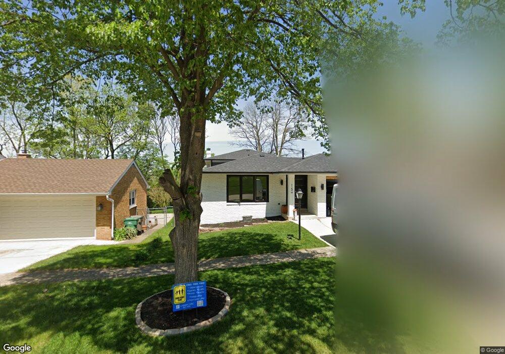
15 W Division St Lemont, IL 60439
West Lemont NeighborhoodEstimated Value: $320,000 - $413,752
3
Beds
2
Baths
1,850
Sq Ft
$202/Sq Ft
Est. Value
About This Home
This home is located at 15 W Division St, Lemont, IL 60439 and is currently estimated at $373,688, approximately $201 per square foot. 15 W Division St is a home located in Cook County with nearby schools including Oakwood School, River Valley School, and Old Quarry Middle School.
Ownership History
Date
Name
Owned For
Owner Type
Purchase Details
Closed on
Nov 6, 2006
Sold by
Brennan William C
Bought by
Marquette Bank and Trust #12865
Current Estimated Value
Purchase Details
Closed on
Apr 27, 2004
Sold by
Pearson Thomas V
Bought by
Brennan William C
Purchase Details
Closed on
Oct 30, 2001
Sold by
First Midwest Bank
Bought by
Pearson Thomas V
Purchase Details
Closed on
May 9, 1995
Sold by
First National Bank Of Lockport
Bought by
First National Bank Of Lockport
Create a Home Valuation Report for This Property
The Home Valuation Report is an in-depth analysis detailing your home's value as well as a comparison with similar homes in the area
Home Values in the Area
Average Home Value in this Area
Purchase History
| Date | Buyer | Sale Price | Title Company |
|---|---|---|---|
| Marquette Bank | -- | None Available | |
| Brennan William C | $260,000 | Multiple | |
| Pearson Thomas V | -- | -- | |
| First National Bank Of Lockport | -- | -- |
Source: Public Records
Tax History Compared to Growth
Tax History
| Year | Tax Paid | Tax Assessment Tax Assessment Total Assessment is a certain percentage of the fair market value that is determined by local assessors to be the total taxable value of land and additions on the property. | Land | Improvement |
|---|---|---|---|---|
| 2024 | $5,819 | $28,000 | $5,264 | $22,736 |
| 2023 | $5,475 | $28,000 | $5,264 | $22,736 |
| 2022 | $5,475 | $22,554 | $4,633 | $17,921 |
| 2021 | $5,308 | $22,553 | $4,632 | $17,921 |
| 2020 | $5,364 | $22,553 | $4,632 | $17,921 |
| 2019 | $5,129 | $22,176 | $4,632 | $17,544 |
| 2018 | $5,045 | $22,176 | $4,632 | $17,544 |
| 2017 | $5,385 | $24,030 | $4,632 | $19,398 |
| 2016 | $4,279 | $18,125 | $3,790 | $14,335 |
| 2015 | $3,715 | $18,125 | $3,790 | $14,335 |
| 2014 | $4,632 | $21,715 | $3,790 | $17,925 |
| 2013 | $3,819 | $19,430 | $3,790 | $15,640 |
Source: Public Records
Map
Nearby Homes
- 1 W Division St
- 606 Valley Dr
- 15976 New Ave
- 15824 New Ave
- 4 Ridge Rd
- 700 State St
- 207 E Custer St
- 714 Walnut St
- 906 State St
- 905 State St
- Brighton Plan at Copper Ridge Townhomes
- B Saybrook Plan at Copper Ridge Townhomes
- A Saybrook Plan at Copper Ridge Townhomes
- Sienna Plan at Copper Ridge Townhomes
- Breckenridge Plan at Copper Ridge Townhomes
- Sorrento Plan at Copper Ridge Townhomes
- Telluride Plan at Copper Ridge Townhomes
- 1023 Walter St
- 1025 Walter St
- 12239 Copper Ridge Dr Unit 19
- 13 W Division St
- 17 W Division St
- 11 W Division St
- 14 W Division St
- 12 W Division St
- 16 W Division St
- 10 W Division St
- 7 W Division St
- 18 W Division St
- 8 W Division St
- 3 W Division St
- 6 W Division St
- 25 Povalish Ct
- 15 W Custer St
- 9 W Custer St
- 17 W Custer St
- 7 W Custer St
- 19 W Custer St
- 4 W Division St
- 21 Povalish Ct