Estimated Value: $67,761 - $110,000
2
Beds
1
Bath
700
Sq Ft
$128/Sq Ft
Est. Value
About This Home
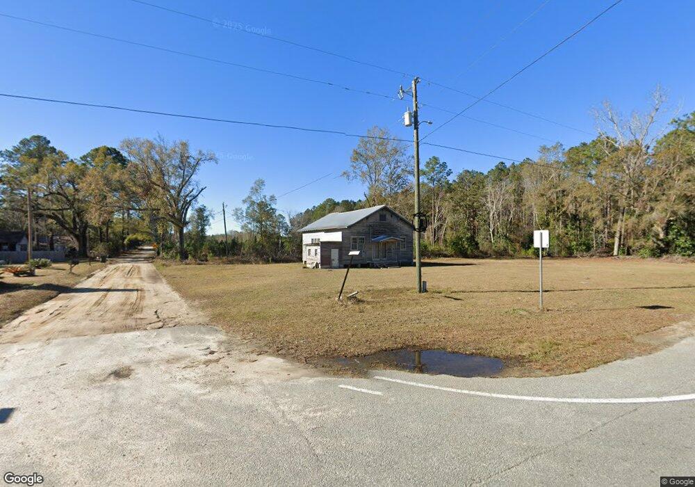
This home is located at 15 W Finland St, Jesup, GA 31546 and is currently estimated at $89,940, approximately $128 per square foot. 15 W Finland St is a home located in Wayne County with nearby schools including Screven Elementary School, Arthur Williams Middle School, and Wayne County High School.
Ownership History
Date
Name
Owned For
Owner Type
Purchase Details
Closed on
Aug 13, 2019
Sold by
Yarbrough Justin T
Bought by
Yarbrough Justin T
Current Estimated Value
Purchase Details
Closed on
Sep 9, 2018
Sold by
Tipton Hoy K
Bought by
Yarbrough Justin T and Yarbrough Lysa Christina
Purchase Details
Closed on
Sep 23, 2013
Sold by
Salmi John
Bought by
Tipton Hoy K and Tipton Betty G
Purchase Details
Closed on
Dec 1, 2000
Sold by
Salmi John O and Salmi Velma B
Bought by
Salmi John O and Salmi Velma B
Purchase Details
Closed on
Dec 1, 1985
Bought by
Salmi John O and Salmi Velma B
Purchase Details
Closed on
Dec 1, 1984
Create a Home Valuation Report for This Property
The Home Valuation Report is an in-depth analysis detailing your home's value as well as a comparison with similar homes in the area
Home Values in the Area
Average Home Value in this Area
Purchase History
| Date | Buyer | Sale Price | Title Company |
|---|---|---|---|
| Yarbrough Justin T | -- | -- | |
| Yarbrough Justin T | $5,000 | -- | |
| Tipton Hoy K | $20,000 | -- | |
| Salmi John O | -- | -- | |
| Salmi John O | $18,500 | -- | |
| -- | $18,000 | -- |
Source: Public Records
Tax History Compared to Growth
Tax History
| Year | Tax Paid | Tax Assessment Tax Assessment Total Assessment is a certain percentage of the fair market value that is determined by local assessors to be the total taxable value of land and additions on the property. | Land | Improvement |
|---|---|---|---|---|
| 2024 | $468 | $17,674 | $1,600 | $16,074 |
| 2023 | $470 | $15,666 | $1,600 | $14,066 |
| 2022 | $405 | $12,856 | $1,600 | $11,256 |
| 2021 | $457 | $13,560 | $1,600 | $11,960 |
| 2020 | $473 | $13,560 | $1,600 | $11,960 |
| 2019 | $487 | $13,560 | $1,600 | $11,960 |
| 2018 | $487 | $13,560 | $1,600 | $11,960 |
| 2017 | $419 | $13,560 | $1,600 | $11,960 |
| 2016 | $406 | $13,560 | $1,600 | $11,960 |
| 2014 | $407 | $13,560 | $1,600 | $11,960 |
| 2013 | -- | $13,560 | $1,600 | $11,960 |
Source: Public Records
Map
Nearby Homes
- 0 Rogers Break Unit 1656131
- 0 Johns Rd
- 301 Broadhurst Rd
- 6911 Old Hortense Rd
- 7256 Manningtown Rd
- 88 Minnesota Rd
- 176 Covey Way Rd
- 0 Us Highway 301
- 868 Broadhurst Rd W
- 1554 Flowers Break Rd
- 5100 Flowers Branch Rd
- 391 S Forks Rd
- 0 S Forks Rd
- 17082 Hwy 341
- 107 Gaffney St
- 0 Dale Mill Rd
- 109 Joyner St
- 603 Cumberland Rd
- 102 Highsmith Ave
- 406 Cw Collins St