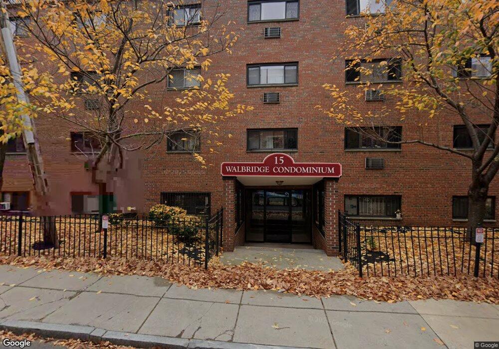
15 Walbridge St Unit 26 Allston, MA 02134
Commonwealth NeighborhoodEstimated Value: $419,511 - $556,000
2
Beds
1
Bath
655
Sq Ft
$736/Sq Ft
Est. Value
About This Home
This home is located at 15 Walbridge St Unit 26, Allston, MA 02134 and is currently estimated at $482,378, approximately $736 per square foot. 15 Walbridge St Unit 26 is a home located in Suffolk County with nearby schools including Boston Green Academy Horace Mann Charter School and Torah Academy.
Ownership History
Date
Name
Owned For
Owner Type
Purchase Details
Closed on
Mar 24, 2023
Sold by
Huang Wenchao and Wu Helen Y
Bought by
Huang Family 2023 Ret
Current Estimated Value
Purchase Details
Closed on
Feb 18, 2009
Sold by
Silver Star Investment
Bought by
Wu Helen Y and Huang Wen Chao
Purchase Details
Closed on
Feb 7, 2007
Sold by
Blumstein Alla and Blumstein Samuel
Bought by
Silver Star Invest Llc
Purchase Details
Closed on
Nov 3, 1993
Sold by
Lutsker David and Lutsker Alla
Bought by
Third Development T
Create a Home Valuation Report for This Property
The Home Valuation Report is an in-depth analysis detailing your home's value as well as a comparison with similar homes in the area
Home Values in the Area
Average Home Value in this Area
Purchase History
| Date | Buyer | Sale Price | Title Company |
|---|---|---|---|
| Huang Family 2023 Ret | -- | None Available | |
| Wu Helen Y | $252,000 | -- | |
| Silver Star Invest Llc | $190,700 | -- | |
| Third Development T | $25,000 | -- | |
| Third Development T | $25,000 | -- |
Source: Public Records
Tax History Compared to Growth
Tax History
| Year | Tax Paid | Tax Assessment Tax Assessment Total Assessment is a certain percentage of the fair market value that is determined by local assessors to be the total taxable value of land and additions on the property. | Land | Improvement |
|---|---|---|---|---|
| 2025 | $4,175 | $360,500 | $0 | $360,500 |
| 2024 | $4,079 | $374,200 | $0 | $374,200 |
| 2023 | $4,019 | $374,200 | $0 | $374,200 |
| 2022 | $3,841 | $353,000 | $0 | $353,000 |
| 2021 | $3,767 | $353,000 | $0 | $353,000 |
| 2020 | $3,259 | $308,600 | $0 | $308,600 |
| 2019 | $3,188 | $302,500 | $0 | $302,500 |
| 2018 | $2,964 | $282,800 | $0 | $282,800 |
| 2017 | $2,774 | $261,900 | $0 | $261,900 |
| 2016 | $2,643 | $240,300 | $0 | $240,300 |
| 2015 | $2,691 | $222,200 | $0 | $222,200 |
| 2014 | $2,540 | $201,900 | $0 | $201,900 |
Source: Public Records
Map
Nearby Homes
- 85 Brainerd Rd Unit TH7
- 239 Kelton St Unit 41
- 245 Kelton St Unit 21
- 1304 Commonwealth Ave Unit 5
- 86 Glenville Ave Unit 2
- 159-161 Allston
- 130 Glenville Ave
- 198 Allston St Unit 3
- 83 Glenville Ave
- 1408 Commonwealth Ave Unit 20
- 249 Corey Rd Unit 404
- 249 Corey Rd Unit 306
- 249 Corey Rd Unit 303
- 249 Corey Rd Unit 309
- 249 Corey Rd Unit 308
- 249 Corey Rd Unit 408
- 249 Corey Rd Unit 401
- 249 Corey Rd Unit 103
- 249 Corey Rd Unit 407PH
- 147 Kelton St Unit 305
- 15 Walbridge St Unit 39
- 15 Walbridge St Unit 38
- 15 Walbridge St Unit 37
- 15 Walbridge St Unit 36
- 15 Walbridge St Unit 35
- 15 Walbridge St Unit 34
- 15 Walbridge St Unit 33
- 15 Walbridge St Unit 32
- 15 Walbridge St Unit 30
- 15 Walbridge St Unit 29
- 15 Walbridge St Unit 28
- 15 Walbridge St Unit 25
- 15 Walbridge St Unit 24
- 15 Walbridge St Unit 23
- 15 Walbridge St Unit 22
- 15 Walbridge St Unit 21
- 15 Walbridge St Unit 20
- 15 Walbridge St Unit 19
- 15 Walbridge St Unit 18
- 15 Walbridge St Unit 17