15 Windy Point Rd Moultonborough, NH 03254
Estimated Value: $3,002,000 - $4,044,000
4
Beds
5
Baths
4,200
Sq Ft
$814/Sq Ft
Est. Value
About This Home
This home is located at 15 Windy Point Rd, Moultonborough, NH 03254 and is currently estimated at $3,419,481, approximately $814 per square foot. 15 Windy Point Rd is a home located in Carroll County with nearby schools including Moultonborough Central School and Moultonborough Academy High School.
Ownership History
Date
Name
Owned For
Owner Type
Purchase Details
Closed on
May 3, 2006
Sold by
Maynard George R and Maynard Debi F
Bought by
Berna Brian E and Berna Janet I
Current Estimated Value
Purchase Details
Closed on
Oct 9, 1998
Sold by
Windward Rlty Group Ll
Bought by
Maynard George R and Maynard Debi F
Home Financials for this Owner
Home Financials are based on the most recent Mortgage that was taken out on this home.
Original Mortgage
$550,000
Interest Rate
6.92%
Mortgage Type
Purchase Money Mortgage
Create a Home Valuation Report for This Property
The Home Valuation Report is an in-depth analysis detailing your home's value as well as a comparison with similar homes in the area
Home Values in the Area
Average Home Value in this Area
Purchase History
| Date | Buyer | Sale Price | Title Company |
|---|---|---|---|
| Berna Brian E | $1,579,000 | -- | |
| Maynard George R | $917,900 | -- |
Source: Public Records
Mortgage History
| Date | Status | Borrower | Loan Amount |
|---|---|---|---|
| Previous Owner | Maynard George R | $550,000 |
Source: Public Records
Tax History Compared to Growth
Tax History
| Year | Tax Paid | Tax Assessment Tax Assessment Total Assessment is a certain percentage of the fair market value that is determined by local assessors to be the total taxable value of land and additions on the property. | Land | Improvement |
|---|---|---|---|---|
| 2024 | $19,364 | $3,427,300 | $2,360,600 | $1,066,700 |
| 2023 | $17,918 | $3,143,500 | $2,107,800 | $1,035,700 |
| 2022 | $12,702 | $2,657,300 | $1,721,800 | $935,500 |
| 2021 | $14,913 | $2,136,500 | $1,317,200 | $819,300 |
| 2020 | $4,025 | $1,851,700 | $1,089,900 | $761,800 |
| 2019 | $4,020 | $1,735,700 | $1,061,100 | $674,600 |
| 2018 | $12,290 | $1,571,600 | $909,500 | $662,100 |
| 2017 | $13,183 | $1,531,800 | $909,500 | $622,300 |
| 2016 | $13,183 | $1,508,400 | $925,500 | $582,900 |
| 2015 | $10,078 | $1,118,500 | $592,300 | $526,200 |
| 2014 | $10,129 | $1,143,200 | $617,000 | $526,200 |
| 2013 | $9,985 | $1,149,000 | $617,000 | $532,000 |
Source: Public Records
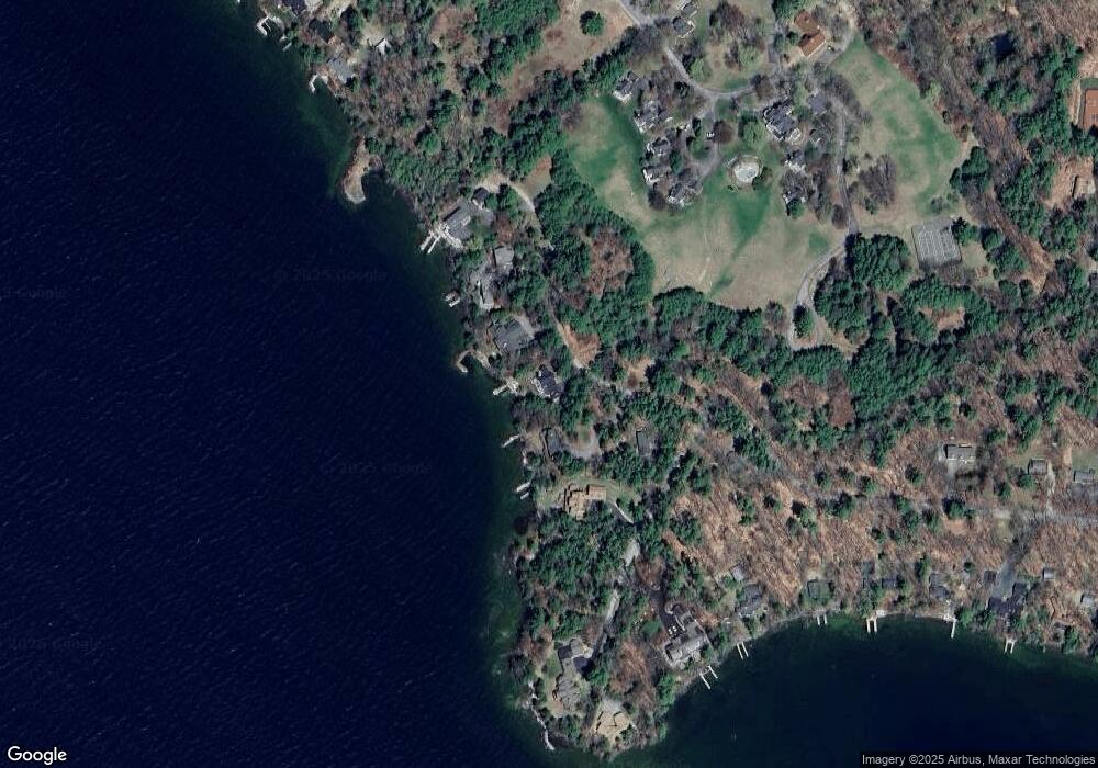
Map
Nearby Homes
- 47 Pot O Beans Rd
- 11 Portside Dr Unit 4
- 9 Starboard Ln Unit 1
- 00 Rivers Rd
- 152 Wildwood Dr
- 19 Alderberry Ln
- 42 High Ridge Rd
- 130 W Point Rd
- 167 Long Island Rd
- 10 Woodridge Rd
- 109 Leaward Shores Rd
- 22 Cow Island
- 23 Cow Island
- Lot 1-37 Whortleberry Island
- 00 Moultonboro Neck Rd Unit 2
- 00 Moultonboro Neck Rd
- 65 Beede Rd
- 00 Beede Rd
- 16 Long Island Rd
- 59 Welch Island
- 19 Windy Point Rd
- 196 Windermere Rd
- 21 Windy Point Rd
- 200 Windermere Rd
- 216 Windemere Rd
- 35 Windy Point Rd
- 215 Windemere Rd
- 181 Windermere Rd
- 10 Lands End Ln
- 8 Lands End Ln
- 205 Windemere Rd
- 6 Lands End Ln
- 6 Lands End Ln Unit 2
- 6 Lands End Ln Unit 3
- 4 Lands End Ln
- 201 Windemere Rd
- 216 Windermere Rd
- 2 Lands End Ln
- 16 Lands End Ln
- 177 Windermere Rd