15 Wits End Brunswick, ME 04011
Estimated Value: $535,000 - $653,000
3
Beds
3
Baths
2,128
Sq Ft
$282/Sq Ft
Est. Value
About This Home
This home is located at 15 Wits End, Brunswick, ME 04011 and is currently estimated at $599,199, approximately $281 per square foot. 15 Wits End is a home located in Cumberland County with nearby schools including Kate Furbish Elementary School, Brunswick Jr High School, and Brunswick High School.
Ownership History
Date
Name
Owned For
Owner Type
Purchase Details
Closed on
Sep 15, 2008
Sold by
Balzanelli Michael A and Balzanelli Kimberly A
Bought by
Rigazio Paul J and Rigazio Kerri L
Current Estimated Value
Home Financials for this Owner
Home Financials are based on the most recent Mortgage that was taken out on this home.
Original Mortgage
$211,500
Interest Rate
6.58%
Mortgage Type
Purchase Money Mortgage
Create a Home Valuation Report for This Property
The Home Valuation Report is an in-depth analysis detailing your home's value as well as a comparison with similar homes in the area
Home Values in the Area
Average Home Value in this Area
Purchase History
| Date | Buyer | Sale Price | Title Company |
|---|---|---|---|
| Rigazio Paul J | -- | -- |
Source: Public Records
Mortgage History
| Date | Status | Borrower | Loan Amount |
|---|---|---|---|
| Open | Rigazio Paul J | $211,500 | |
| Closed | Rigazio Paul J | $211,500 |
Source: Public Records
Tax History Compared to Growth
Tax History
| Year | Tax Paid | Tax Assessment Tax Assessment Total Assessment is a certain percentage of the fair market value that is determined by local assessors to be the total taxable value of land and additions on the property. | Land | Improvement |
|---|---|---|---|---|
| 2024 | $6,408 | $268,700 | $68,000 | $200,700 |
| 2023 | $6,258 | $268,700 | $68,000 | $200,700 |
| 2022 | $5,813 | $268,000 | $68,000 | $200,000 |
| 2021 | $5,095 | $268,000 | $68,000 | $200,000 |
| 2020 | $5,459 | $268,000 | $68,000 | $200,000 |
| 2019 | $1,383 | $250,700 | $55,200 | $195,500 |
| 2018 | $3,522 | $250,700 | $55,200 | $195,500 |
| 2017 | $4,605 | $250,700 | $55,200 | $195,500 |
| 2016 | $5,098 | $173,700 | $26,000 | $147,700 |
| 2015 | $4,926 | $173,700 | $26,000 | $147,700 |
| 2014 | $4,568 | $173,700 | $26,000 | $147,700 |
| 2013 | -- | $173,700 | $26,000 | $147,700 |
Source: Public Records
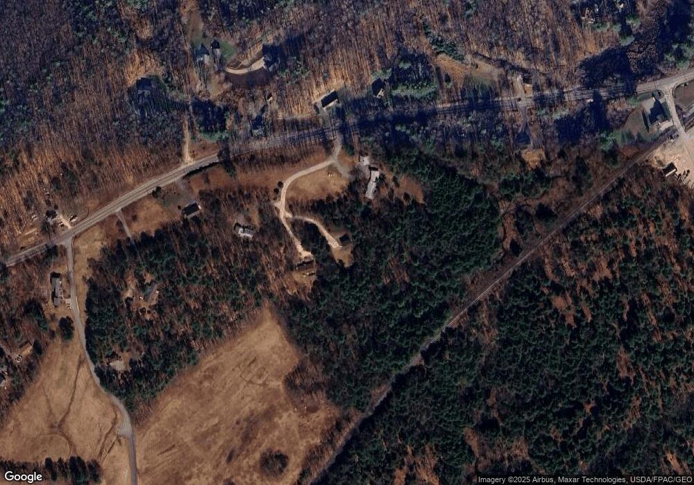
Map
Nearby Homes
- 713 Old Portland Rd
- 31 Allen Range Rd
- 10 Moody Rd
- Lot #3 Fernwood Dr
- 105 Hillside Rd
- 0 Prout Rd
- Lot 5 Crossman Dr
- Lot 8 Crossman Dr
- 61 Durham Rd
- 42 Greystone Ln
- 42 Greystone Ln
- Lot #2 Collinsbrook Rd
- 7 Hideaway Dr
- 3 Ron Henry Ln
- 42A Wardtown Rd
- 50 Baker Rd
- 15 Tinkers Way
- 102 Woodland Dr
- 1260 Us Route 1
- 18 Circle Dr
- 17 Wits End
- 5 Wits End
- 538 Old Portland Rd
- 538 Old Portland Rd
- 523 Old Portland Rd
- 552 Old Portland Rd
- 528 Old Portland Rd
- 0 Rich Rd
- 577 Old Portland Rd
- 587 Old Portland Rd
- 509 Old Portland Rd
- 16 Piper Farm Rd
- Lot 16 Old Portland Rd
- 15 Piper Farm Rd
- 15 Piper Farm Rd
- 508 Old Portland Rd
- 17 Rich Rd
- Lot 2 Old Portland Rd
- Lot 1 Old Portland Rd
- 22 Rich Rd