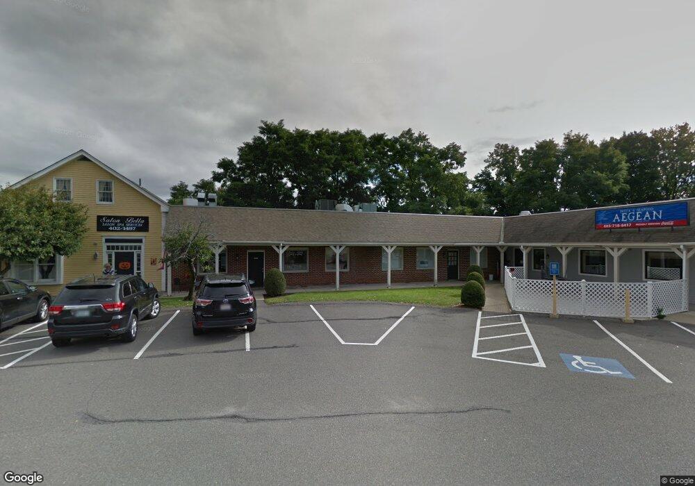
150 Broad St Nashua, NH 03063
Northwest Nashua NeighborhoodEstimated Value: $5,560,424
--
Bed
--
Bath
12,633
Sq Ft
$440/Sq Ft
Est. Value
About This Home
This home is located at 150 Broad St, Nashua, NH 03063 and is currently estimated at $5,560,424, approximately $440 per square foot. 150 Broad St is a home located in Hillsborough County with nearby schools including Broad Street Elementary School, Elm Street Middle School, and Nashua High School North.
Ownership History
Date
Name
Owned For
Owner Type
Purchase Details
Closed on
Dec 10, 1999
Sold by
Concord St Assoc
Bought by
Schupack Ft
Current Estimated Value
Home Financials for this Owner
Home Financials are based on the most recent Mortgage that was taken out on this home.
Original Mortgage
$630,000
Interest Rate
7.9%
Mortgage Type
Commercial
Purchase Details
Closed on
Sep 15, 1999
Sold by
Maxwell Charles A and Maxwell Barbara S
Bought by
Rowntree Angela C
Home Financials for this Owner
Home Financials are based on the most recent Mortgage that was taken out on this home.
Original Mortgage
$244,000
Interest Rate
7.83%
Mortgage Type
Commercial
Create a Home Valuation Report for This Property
The Home Valuation Report is an in-depth analysis detailing your home's value as well as a comparison with similar homes in the area
Home Values in the Area
Average Home Value in this Area
Purchase History
| Date | Buyer | Sale Price | Title Company |
|---|---|---|---|
| Schupack Ft | $1,375,000 | -- | |
| Rowntree Angela C | $305,000 | -- |
Source: Public Records
Mortgage History
| Date | Status | Borrower | Loan Amount |
|---|---|---|---|
| Open | Rowntree Angela C | $1,200,000 | |
| Closed | Rowntree Angela C | $630,000 | |
| Previous Owner | Rowntree Angela C | $244,000 |
Source: Public Records
Tax History Compared to Growth
Tax History
| Year | Tax Paid | Tax Assessment Tax Assessment Total Assessment is a certain percentage of the fair market value that is determined by local assessors to be the total taxable value of land and additions on the property. | Land | Improvement |
|---|---|---|---|---|
| 2024 | $20,090 | $1,263,500 | $648,300 | $615,200 |
| 2023 | $20,115 | $1,103,400 | $564,100 | $539,300 |
| 2022 | $19,938 | $1,103,400 | $564,100 | $539,300 |
| 2021 | $28,707 | $1,236,300 | $537,000 | $699,300 |
| 2020 | $27,953 | $1,236,300 | $537,000 | $699,300 |
| 2019 | $26,858 | $1,234,300 | $537,000 | $697,300 |
| 2018 | $26,180 | $1,234,300 | $537,000 | $697,300 |
| 2017 | $32,508 | $1,260,500 | $450,000 | $810,500 |
| 2016 | $31,601 | $1,260,500 | $450,000 | $810,500 |
| 2015 | $30,920 | $1,260,500 | $450,000 | $810,500 |
| 2014 | $31,385 | $1,305,000 | $450,000 | $855,000 |
Source: Public Records
Map
Nearby Homes
- 2 Short Ave
- 44 Broad St
- 22 Berkshire Rd
- 2 Sycamore Ln
- 4 Fox St
- 6 Intervale St
- 1 Dunbarton Dr
- 7 Bitirnas St Unit U7
- 47 Edgewood Ave
- 0 Baldwin St
- 17 Dunbarton Dr
- 74 Profile Cir
- 3 Paddington Place
- 2 Hillcrest Ave
- 4 Brick Manor Dr
- 5 Chatfield Dr Unit U18
- 4 Jared Cir Unit U21
- 16-18 Perry Ave
- 11 Fairmount St
- 6 1/2 10th St
- 154 Broad St Unit 1531
- 154 Broad St
- 154 Broad St
- 10 Coliseum Ave
- 220 Broad St
- 31 High Pine Ave Unit B
- 31 High Pine Ave Unit D
- 27 1/4 High Pine Ave
- 27 1/2 High Pine Ave
- 29 High Pine Ave Unit 6
- 27 High Pine Ave
- 9999 Broad St
- 999999 Broad St
- 99999 Broad St
- 202 Flagstone Dr Unit 8
- 202 Flagstone Dr Unit 9
- 47 Northwood Dr
- 181-183 Flagstone Dr
- 45 Northwood Dr
- 71 High Pine Ave Unit 2