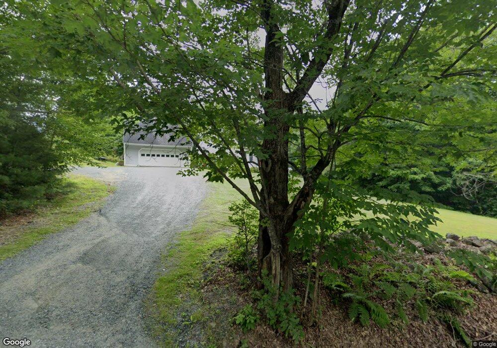
150 Burpee Hill Rd Grantham, NH 03753
Estimated Value: $532,000 - $570,000
About This Home
This home is located at 150 Burpee Hill Rd, Grantham, NH 03753 and is currently estimated at $544,137, approximately $308 per square foot. 150 Burpee Hill Rd is a home located in Sullivan County with nearby schools including Grantham Village School and Lebanon High School.
Ownership History
We collect this data history from publicly available records. To have your information removed, we recommend requesting removal directly through your county’s website.
Purchase Details
Home Financials for this Owner
Home Financials are based on the most recent Mortgage that was taken out on this home.Home Values in the Area
Average Home Value in this Area
Purchase History
We collect this data history from publicly available records. To have your information removed, we recommend requesting removal directly through your county’s website.
| Date | Buyer | Sale Price | Title Company |
|---|---|---|---|
| $305,000 | -- | ||
| $305,000 | -- |
Mortgage History
We collect this data history from publicly available records. To have your information removed, we recommend requesting removal directly through your county’s website.
| Date | Status | Borrower | Loan Amount |
|---|---|---|---|
| Open | $199,000 | ||
| Closed | $200,000 | ||
| Open | $435,000 | ||
| Closed | $435,000 |
Tax History
We collect this data history from publicly available records. To have your information removed, we recommend requesting removal directly through your county’s website.
| Year | Tax Paid | Tax Assessment Tax Assessment Total Assessment is a certain percentage of the fair market value that is determined by local assessors to be the total taxable value of land and additions on the property. | Land | Improvement |
|---|---|---|---|---|
| 2025 | $8,845 | $399,700 | $69,900 | $329,800 |
| 2024 | $7,838 | $399,700 | $69,900 | $329,800 |
| 2023 | $7,031 | $399,700 | $69,900 | $329,800 |
| 2022 | $6,571 | $399,700 | $69,900 | $329,800 |
| 2021 | $6,695 | $292,100 | $79,400 | $212,700 |
| 2020 | $6,853 | $292,100 | $79,400 | $212,700 |
| 2019 | $6,532 | $252,600 | $49,100 | $203,500 |
| 2018 | $6,590 | $252,600 | $49,100 | $203,500 |
| 2017 | $5,740 | $242,000 | $49,100 | $192,900 |
| 2016 | $5,769 | $242,000 | $49,100 | $192,900 |
| 2015 | $5,837 | $242,000 | $49,100 | $192,900 |
| 2014 | $6,465 | $290,300 | $91,000 | $199,300 |
| 2013 | $6,224 | $290,300 | $91,000 | $199,300 |
Map
- 991 Route 10 N
- 841 Cove Dr
- 820 Covered Bridge Ln
- 827 Covered Bridge Ln
- 12 Old Spring Dr
- 0 New Aldrich Rd Unit 1
- 69 Rawson Ridge
- 14 Bay Tree Ln
- 2 Turner Brae
- 637 Marmot Ln
- 00 Route 10 N
- 0 Rawson Ridge Unit 6
- 12 Fernwood Ln
- 8 Sandy Brae
- 23 High Pond Rd
- 28 Summit Dr
- 0 Route 10 N Unit 5058175
- 5 Auburn Brae
- 400 Road Round the Lake
- 3 Trillium Ln
- 143 Burpee Hill Rd
- 132 Burpee Hill Rd
- 156 Burpee Hill Rd Unit Furnished Apartment
- 156 Burpee Hill Rd
- 205 Burpee Hill Rd
- 101 Burpee Hill Rd
- 95 Burpee Hill Rd
- 11 Oak Ln
- 225 Burpee Hill Rd
- 914 Route 10 N
- 16 Oak Ln
- 16 Oak Ln Unit 60
- 990 Route 10 N
- 10 Oak Ln
- 46 Burpee Hill Rd
- 7 Oak Ln
- 6 Oak Ln
- 5 Oak Ln
- 17 Oak Ln
- 14 Oak Ln
Ask me questions while you tour the home.