150 N Sossaman Rd Mesa, AZ 85207
Central Mesa East NeighborhoodEstimated Value: $687,025
--
Bed
--
Bath
--
Sq Ft
2.5
Acres
About This Home
This home is located at 150 N Sossaman Rd, Mesa, AZ 85207 and is currently estimated at $687,025. 150 N Sossaman Rd is a home located in Maricopa County with nearby schools including Salk Elementary School, Franklin at Brimhall Elementary School, and Franklin West Elementary School.
Ownership History
Date
Name
Owned For
Owner Type
Purchase Details
Closed on
Dec 16, 2021
Sold by
Baretinicich Dennis F and Baretinicich Belle L
Bought by
Cbj Land Llc
Current Estimated Value
Purchase Details
Closed on
Sep 14, 2017
Sold by
American Savings Life Insurance Co
Bought by
Baretinicich Dennis F and Baretinicich Belle L
Home Financials for this Owner
Home Financials are based on the most recent Mortgage that was taken out on this home.
Original Mortgage
$148,750
Interest Rate
3.93%
Mortgage Type
Commercial
Purchase Details
Closed on
Mar 13, 2013
Sold by
Tendallas Llc
Bought by
American Savings Life Insurance Company
Purchase Details
Closed on
Jun 17, 1999
Sold by
Red Mountain Mining Inc
Bought by
Tendallas Llc
Create a Home Valuation Report for This Property
The Home Valuation Report is an in-depth analysis detailing your home's value as well as a comparison with similar homes in the area
Home Values in the Area
Average Home Value in this Area
Purchase History
| Date | Buyer | Sale Price | Title Company |
|---|---|---|---|
| Cbj Land Llc | $650,000 | Magnus Title Agency Llc | |
| Baretinicich Dennis F | $212,500 | Fidelity National Title Agen | |
| American Savings Life Insurance Company | $513,575 | None Available | |
| Tendallas Llc | $410,000 | Security Title Agency |
Source: Public Records
Mortgage History
| Date | Status | Borrower | Loan Amount |
|---|---|---|---|
| Previous Owner | Baretinicich Dennis F | $148,750 |
Source: Public Records
Tax History Compared to Growth
Tax History
| Year | Tax Paid | Tax Assessment Tax Assessment Total Assessment is a certain percentage of the fair market value that is determined by local assessors to be the total taxable value of land and additions on the property. | Land | Improvement |
|---|---|---|---|---|
| 2025 | $6,479 | $65,671 | $65,671 | -- |
| 2024 | $6,499 | $62,544 | $62,544 | -- |
| 2023 | $6,499 | $76,275 | $76,275 | $0 |
| 2022 | $6,364 | $64,410 | $64,410 | $0 |
| 2021 | $6,442 | $64,410 | $64,410 | $0 |
| 2020 | $6,358 | $63,465 | $63,465 | $0 |
| 2019 | $5,940 | $49,005 | $49,005 | $0 |
| 2018 | $5,987 | $65,970 | $65,970 | $0 |
| 2017 | $6,285 | $61,080 | $61,080 | $0 |
| 2016 | $6,169 | $54,540 | $54,540 | $0 |
| 2015 | $6,184 | $48,864 | $48,864 | $0 |
Source: Public Records
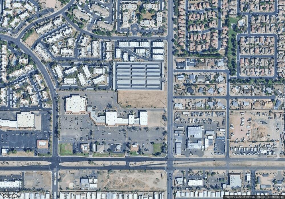
Map
Nearby Homes
- 7601 E Albany St
- 7531 E Billings St Unit 145
- 7531 E Billings St Unit 146
- 7750 E Albany St Unit 49
- 145 N 74th St Unit 108
- 145 N 74th St Unit 147
- 145 N 74th St Unit 236
- 145 N 74th St Unit 127
- 145 N 74th St Unit 122
- 145 N 74th St Unit 207
- 7747 E Billings St Unit 81
- 205 N 74th St Unit 248
- 205 N 74th St Unit 151
- 205 N 74th St Unit 126
- 205 N 74th St Unit 260
- 304 N 78th Place
- 7807 E Main St Unit H25
- 7807 E Main St Unit D-32
- 7807 E Main St Unit E2
- 7807 E Main St Unit CC-106
- 150 N Sossaman Rd Unit 21B
- 150 N Sossaman Rd
- 7606 E Akron St
- 7605 E Akron St
- 7614 E Akron St
- 210 N Sossaman Rd Unit 23
- 7613 E Albany St
- 7613 E Akron St
- 7602 E Albany St
- 7622 E Akron St
- 7612 E Albany St
- 7623 E Albany St
- 7621 E Akron St
- 7624 E Albany St
- 7528 E Main St
- 7630 E Akron St
- 7635 E Albany St
- 7629 E Akron St
- 205 N Seymour Unit 45
- 210 N Seymour Unit 101