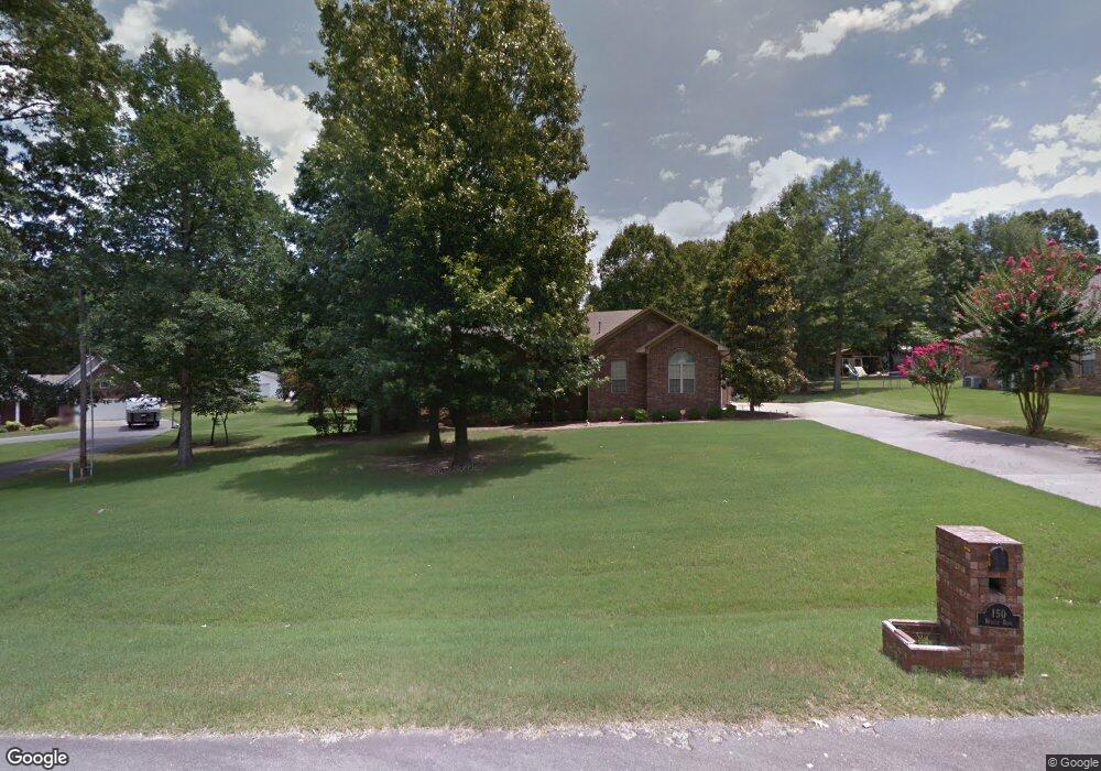
150 Nugget Rd Little Rock, AR 72206
Estimated Value: $301,000 - $343,000
--
Bed
3
Baths
2,163
Sq Ft
$148/Sq Ft
Est. Value
About This Home
This home is located at 150 Nugget Rd, Little Rock, AR 72206 and is currently estimated at $319,261, approximately $147 per square foot. 150 Nugget Rd is a home located in Saline County with nearby schools including Sheridan High School.
Ownership History
Date
Name
Owned For
Owner Type
Purchase Details
Closed on
Aug 16, 2018
Sold by
Brooks Donald W
Bought by
Brooks Donald Wade and Donald Wade Brooks Jr Revocable Trust
Current Estimated Value
Purchase Details
Closed on
Apr 14, 2005
Sold by
Brooks Donald W and Brooks Marilyn L
Bought by
Brooks Donald W
Purchase Details
Closed on
Sep 25, 2003
Bought by
Brooks
Create a Home Valuation Report for This Property
The Home Valuation Report is an in-depth analysis detailing your home's value as well as a comparison with similar homes in the area
Home Values in the Area
Average Home Value in this Area
Purchase History
| Date | Buyer | Sale Price | Title Company |
|---|---|---|---|
| Brooks Donald Wade | -- | None Available | |
| Brooks Donald W | -- | -- | |
| Brooks | $18,000 | -- |
Source: Public Records
Tax History Compared to Growth
Tax History
| Year | Tax Paid | Tax Assessment Tax Assessment Total Assessment is a certain percentage of the fair market value that is determined by local assessors to be the total taxable value of land and additions on the property. | Land | Improvement |
|---|---|---|---|---|
| 2025 | $2,315 | $52,148 | $9,600 | $42,548 |
| 2024 | $2,122 | $52,148 | $9,600 | $42,548 |
| 2023 | $1,929 | $52,148 | $9,600 | $42,548 |
| 2022 | $1,879 | $52,148 | $9,600 | $42,548 |
| 2021 | $1,733 | $44,050 | $8,000 | $36,050 |
| 2020 | $1,733 | $44,050 | $8,000 | $36,050 |
| 2019 | $1,733 | $44,050 | $8,000 | $36,050 |
| 2018 | $1,758 | $44,050 | $8,000 | $36,050 |
| 2017 | $1,736 | $44,050 | $8,000 | $36,050 |
| 2016 | $1,738 | $41,490 | $8,000 | $33,490 |
| 2015 | $1,738 | $41,490 | $8,000 | $33,490 |
| 2014 | $1,453 | $41,490 | $8,000 | $33,490 |
Source: Public Records
Map
Nearby Homes
- 4406 Springlake Cutoff
- 214 Chick Ln
- 4309 Springlake Cutoff
- 21189 Meadows Acres Dr
- 5389 Pear Orchard Dr
- 135 Chick Ln
- 000 Arch St
- 18530 Winbury Cove
- 5810 E Sardis Rd
- 21364 Ashland Rd
- 175 Pinnacle Dr
- 1017 Mobeth Rd
- 144 Mountain Pine Rd Unit Tract 5
- 2341 Horseshoe Loop
- 201 Mountain Pine Rd Unit Tract 174
- 209 Mountain Pine Rd Unit Tract 173
- 156 Mountain Pine Rd Unit Tract 6
- 170 Mountain Pine Rd Unit Tract 7
- 323 Bristlecone Ln Unit Tract 170
- 262 Mountain Pine Rd Unit Tract 39
- 130 Nugget Rd
- 174 Nugget Rd
- 4818 Pear Orchard Dr
- 151 Nugget Rd
- 0 Pear Orchard Unit 16000677
- 0 Pear Orchard Unit 20038798
- 4806 Pear Orchard Dr
- 175 Nugget Rd
- 121 Nugget Rd
- 0 Nugget Unit 16007317
- 0 Nugget Unit 20038659
- 0 Nugget Unit 17003134
- 4826 Pear Orchard Dr
- 20511 Hardy Dr
- 20508 Comice Dr
- 20510 Hardy Dr
- 20509 Comice Dr
- 4860 Pear Orchard Dr
- 20523 Hardy Dr
- 20520 Comice Dr