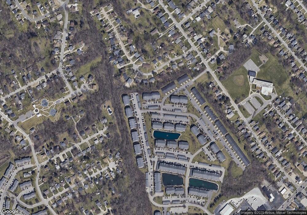
150 Rough River Dr Unit 4 Erlanger, KY 41018
Estimated Value: $152,000 - $172,000
2
Beds
2
Baths
1,019
Sq Ft
$159/Sq Ft
Est. Value
About This Home
This home is located at 150 Rough River Dr Unit 4, Erlanger, KY 41018 and is currently estimated at $161,631, approximately $158 per square foot. 150 Rough River Dr Unit 4 is a home located in Kenton County with nearby schools including Miles Elementary School, Tichenor Middle School, and Lloyd Memorial High School.
Ownership History
Date
Name
Owned For
Owner Type
Purchase Details
Closed on
Jan 14, 2011
Sold by
Dressman Edward
Bought by
Mchugh Roger B
Current Estimated Value
Home Financials for this Owner
Home Financials are based on the most recent Mortgage that was taken out on this home.
Original Mortgage
$72,610
Outstanding Balance
$49,527
Interest Rate
4.79%
Mortgage Type
FHA
Estimated Equity
$112,104
Purchase Details
Closed on
Jun 30, 2005
Sold by
Taulbee Marion A and Schilling Shelley A
Bought by
Skuse Beverly H
Home Financials for this Owner
Home Financials are based on the most recent Mortgage that was taken out on this home.
Original Mortgage
$68,000
Interest Rate
5.54%
Mortgage Type
Unknown
Purchase Details
Closed on
Jul 12, 2001
Sold by
Erpenbeck Development Ll
Bought by
Schilling Kent C and Schilling Shelley A
Create a Home Valuation Report for This Property
The Home Valuation Report is an in-depth analysis detailing your home's value as well as a comparison with similar homes in the area
Home Values in the Area
Average Home Value in this Area
Purchase History
| Date | Buyer | Sale Price | Title Company |
|---|---|---|---|
| Mchugh Roger B | -- | Lawyers Title Cincinnati Inc | |
| Skuse Beverly H | $86,000 | Stewart Advanced Land Title | |
| Schilling Kent C | $87,679 | -- |
Source: Public Records
Mortgage History
| Date | Status | Borrower | Loan Amount |
|---|---|---|---|
| Open | Mchugh Roger B | $72,610 | |
| Previous Owner | Skuse Beverly H | $68,000 |
Source: Public Records
Tax History Compared to Growth
Tax History
| Year | Tax Paid | Tax Assessment Tax Assessment Total Assessment is a certain percentage of the fair market value that is determined by local assessors to be the total taxable value of land and additions on the property. | Land | Improvement |
|---|---|---|---|---|
| 2024 | $1,258 | $140,600 | $0 | $140,600 |
| 2023 | $1,269 | $140,600 | $0 | $140,600 |
| 2022 | $1,131 | $74,500 | $0 | $74,500 |
| 2021 | $1,146 | $74,500 | $0 | $74,500 |
| 2020 | $1,139 | $74,500 | $0 | $74,500 |
| 2019 | $1,122 | $74,500 | $0 | $74,500 |
| 2018 | $1,145 | $74,500 | $0 | $74,500 |
| 2017 | $1,041 | $74,500 | $0 | $74,500 |
| 2015 | $990 | $74,500 | $0 | $74,500 |
| 2014 | $961 | $74,500 | $0 | $74,500 |
Source: Public Records
Map
Nearby Homes
- 130 Pine Lake Dr Unit 2
- 159 Green River Dr Unit 4
- 120 Buckhorn Ct Unit 6
- 417 Forest Ave
- 4117-4127 Dixie Hwy
- 4517 Dixie Hwy
- 417 James Ave
- 3 Drexel Ave
- 604 Orchard St
- 315 Mcalpin Ave
- 3917 Rankin Dr
- 3915 Rankin Dr
- 26 Frieda Place
- 332 Swan Cir
- 6859 Curtis Way
- 15 Sanders Dr
- 3514 Hulbert Ave
- 312 Graves Ave
- 309 Garvey Ave
- 125 Commonwealth Ave
- 150 Rough River Dr Unit 8
- 150 Rough River Dr Unit 7
- 150 Rough River Dr Unit 5
- 150 Rough River Dr Unit 3
- 150 Rough River Dr Unit 2
- 150 Rough River Dr Unit 6
- 150 Rough River Dr Unit 1
- 150 Rough River Dr Unit 45A5
- 150 Rough River Dr
- 165 Green River #5 Unit 5
- 165 Green River #8 Unit 8
- 106 Rough River Dr
- 160 Rough River Dr Unit 7
- 160 Rough River Dr Unit 6
- 160 Rough River Dr Unit 4
- 160 Rough River Dr Unit 3
- 160 Rough River Dr Unit 2
- 160 Rough River Dr Unit 5
- 160 Rough River Dr Unit 1
- 160 Rough River Dr Unit 8
