150 Trostle Ln Mohnton, PA 19540
Estimated Value: $431,000 - $765,153
5
Beds
3
Baths
4,534
Sq Ft
$136/Sq Ft
Est. Value
About This Home
This home is located at 150 Trostle Ln, Mohnton, PA 19540 and is currently estimated at $615,288, approximately $135 per square foot. 150 Trostle Ln is a home with nearby schools including Garden Spot Middle School, Garden Spot Senior High School, and Trostle Hill School.
Ownership History
Date
Name
Owned For
Owner Type
Purchase Details
Closed on
Jun 29, 2001
Sold by
Seaman William C
Bought by
Martin Jonathan M and Martin Ellen M
Current Estimated Value
Home Financials for this Owner
Home Financials are based on the most recent Mortgage that was taken out on this home.
Original Mortgage
$110,000
Outstanding Balance
$42,391
Interest Rate
7.14%
Estimated Equity
$572,897
Create a Home Valuation Report for This Property
The Home Valuation Report is an in-depth analysis detailing your home's value as well as a comparison with similar homes in the area
Home Values in the Area
Average Home Value in this Area
Purchase History
| Date | Buyer | Sale Price | Title Company |
|---|---|---|---|
| Martin Jonathan M | $137,500 | First American Title Ins Co |
Source: Public Records
Mortgage History
| Date | Status | Borrower | Loan Amount |
|---|---|---|---|
| Open | Martin Jonathan M | $110,000 | |
| Closed | Martin Jonathan M | $8,900 |
Source: Public Records
Tax History Compared to Growth
Tax History
| Year | Tax Paid | Tax Assessment Tax Assessment Total Assessment is a certain percentage of the fair market value that is determined by local assessors to be the total taxable value of land and additions on the property. | Land | Improvement |
|---|---|---|---|---|
| 2025 | $7,254 | $421,500 | $83,900 | $337,600 |
| 2024 | $7,254 | $421,500 | $83,900 | $337,600 |
| 2023 | $7,105 | $421,500 | $83,900 | $337,600 |
| 2022 | $6,983 | $421,500 | $83,900 | $337,600 |
| 2021 | $6,634 | $421,500 | $83,900 | $337,600 |
| 2020 | $6,634 | $421,500 | $83,900 | $337,600 |
| 2019 | $6,555 | $421,500 | $83,900 | $337,600 |
| 2018 | $10,313 | $421,500 | $83,900 | $337,600 |
| 2017 | $6,405 | $336,300 | $52,800 | $283,500 |
| 2016 | $6,405 | $336,300 | $52,800 | $283,500 |
| 2015 | $1,347 | $336,300 | $52,800 | $283,500 |
| 2014 | $4,783 | $336,300 | $52,800 | $283,500 |
Source: Public Records
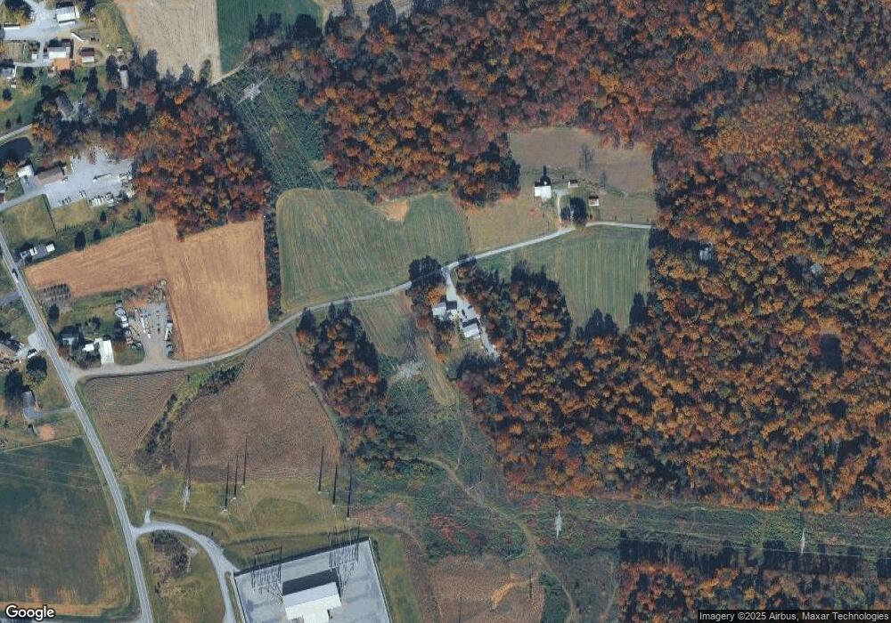
Map
Nearby Homes
- 297 Orchard Rd
- 1395 Bowmansville Rd Unit 40
- 1393 Douglas Dr
- 114 Cedarwood Dr
- 139 Shalom Dr
- 1286 Reading Rd Unit 10000
- 1286 Reading Rd Unit 2500
- 154 W Maple Grove Rd
- 1238 Millrace Run
- 4 Eagle Cir
- 5021 Brook Ln
- 256 W Valley Rd
- 01 W Valley Rd
- 346 Aplomado St
- 4430 New Holland Rd
- 122 Witmer Rd
- 101 Hawk Valley Ln
- Westbrooke Plan at Hawk Valley Estates
- Callahan Plan at Hawk Valley Estates
- Silverbrooke Plan at Hawk Valley Estates
- 1588 Reading Rd
- 1585 Reading Rd
- 1598 Reading Rd
- 1521 Reading Rd
- 1628 Reading Rd
- 1642 Reading Rd
- 1504 Reading Rd
- 1648 Reading Rd
- 1652 Reading Rd
- 1527 Reading Rd
- 113 E Bowmansville Rd
- 1656 Reading Rd
- 1676 Reading Rd
- 1643 Reading Rd
- 1499 Reading Rd
- 1490 Reading Rd
- 1664 Reading Rd
- 117 E Bowmansville Rd
- 1672 Reading Rd
- 1665 Reading Rd