Estimated Value: $150,000 - $165,459
2
Beds
1
Bath
1,268
Sq Ft
$125/Sq Ft
Est. Value
About This Home
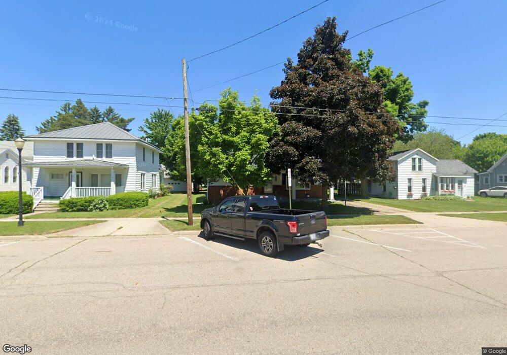
This home is located at 150 W Main St, Elsie, MI 48831 and is currently estimated at $158,365, approximately $124 per square foot. 150 W Main St is a home located in Clinton County with nearby schools including E.E. Knight Elementary School, Leonard Elementary School, and Ovid-Elsie Middle School.
Ownership History
Date
Name
Owned For
Owner Type
Purchase Details
Closed on
Nov 28, 2018
Sold by
Darling Regene
Bought by
Darling Regene and Darling Wesley J
Current Estimated Value
Purchase Details
Closed on
Sep 12, 2014
Sold by
Long Carolyn Kay and Woodard Calvin L
Bought by
Darling Regene
Home Financials for this Owner
Home Financials are based on the most recent Mortgage that was taken out on this home.
Original Mortgage
$63,000
Outstanding Balance
$48,177
Interest Rate
4.11%
Mortgage Type
New Conventional
Estimated Equity
$110,188
Create a Home Valuation Report for This Property
The Home Valuation Report is an in-depth analysis detailing your home's value as well as a comparison with similar homes in the area
Purchase History
| Date | Buyer | Sale Price | Title Company |
|---|---|---|---|
| Darling Regene | -- | None Available | |
| Darling Regene | $70,000 | None Available |
Source: Public Records
Mortgage History
| Date | Status | Borrower | Loan Amount |
|---|---|---|---|
| Open | Darling Regene | $63,000 |
Source: Public Records
Tax History
| Year | Tax Paid | Tax Assessment Tax Assessment Total Assessment is a certain percentage of the fair market value that is determined by local assessors to be the total taxable value of land and additions on the property. | Land | Improvement |
|---|---|---|---|---|
| 2025 | $1,347 | $84,800 | $3,100 | $81,700 |
| 2024 | $5 | $79,900 | $3,100 | $76,800 |
| 2023 | $484 | $66,000 | $0 | $0 |
| 2022 | $1,197 | $56,300 | $3,100 | $53,200 |
| 2021 | $1,246 | $53,700 | $2,800 | $50,900 |
| 2020 | $1,662 | $50,300 | $3,000 | $47,300 |
| 2019 | $1,036 | $37,400 | $3,000 | $34,400 |
| 2018 | $1,011 | $37,400 | $3,000 | $34,400 |
| 2017 | -- | $37,300 | $3,400 | $33,900 |
| 2016 | $969 | $37,300 | $3,400 | $33,900 |
| 2015 | -- | $34,500 | $0 | $0 |
| 2011 | -- | $42,500 | $0 | $0 |
Source: Public Records
Map
Nearby Homes
- 204 W Pine St
- 155 W Main St
- 208 W Oak St
- 117 E Oak St
- 135 E Elm St
- 147 E Elm St
- 563 N Ovid St
- 6822 N Maple River Rd
- 8259 N Meridian Rd
- 7694 N Meridian Rd
- 2625 N Ovid Rd
- 9992 Middleton Rd
- 228 W Pearl St
- 11763 E Cleveland Rd
- 2300 N Watson Rd
- 7912 N Gratiot St
- 613 S Main St
- 7902 N Welling Rd
- 16753 S Fenmore Rd
- 0 S Maywood Rd
Your Personal Tour Guide
Ask me questions while you tour the home.