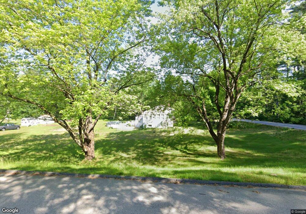
150 Wire Rd MerriMacK, NH 03054
Estimated Value: $448,000 - $519,000
2
Beds
1
Bath
1,349
Sq Ft
$353/Sq Ft
Est. Value
About This Home
This home is located at 150 Wire Rd, MerriMacK, NH 03054 and is currently estimated at $476,310, approximately $353 per square foot. 150 Wire Rd is a home located in Hillsborough County with nearby schools including Reeds Ferry School, James Mastricola Upper Elementary School, and Merrimack Middle School.
Ownership History
Date
Name
Owned For
Owner Type
Purchase Details
Closed on
Feb 4, 2016
Sold by
Sweetser Brian and Cady Tina
Bought by
Sweetser Brian and Sweetser Tina
Current Estimated Value
Home Financials for this Owner
Home Financials are based on the most recent Mortgage that was taken out on this home.
Original Mortgage
$115,050
Outstanding Balance
$91,805
Interest Rate
3.98%
Mortgage Type
Purchase Money Mortgage
Estimated Equity
$384,505
Create a Home Valuation Report for This Property
The Home Valuation Report is an in-depth analysis detailing your home's value as well as a comparison with similar homes in the area
Home Values in the Area
Average Home Value in this Area
Purchase History
| Date | Buyer | Sale Price | Title Company |
|---|---|---|---|
| Sweetser Brian | -- | -- |
Source: Public Records
Mortgage History
| Date | Status | Borrower | Loan Amount |
|---|---|---|---|
| Open | Sweetser Brian | $115,050 |
Source: Public Records
Tax History Compared to Growth
Tax History
| Year | Tax Paid | Tax Assessment Tax Assessment Total Assessment is a certain percentage of the fair market value that is determined by local assessors to be the total taxable value of land and additions on the property. | Land | Improvement |
|---|---|---|---|---|
| 2024 | $7,130 | $344,600 | $220,800 | $123,800 |
| 2023 | $6,702 | $344,600 | $220,800 | $123,800 |
| 2022 | $5,989 | $344,600 | $220,800 | $123,800 |
| 2021 | $5,917 | $344,600 | $220,800 | $123,800 |
| 2020 | $6,001 | $249,400 | $154,800 | $94,600 |
| 2019 | $6,018 | $249,400 | $154,800 | $94,600 |
| 2018 | $6,016 | $249,400 | $154,800 | $94,600 |
| 2017 | $5,828 | $249,400 | $154,800 | $94,600 |
| 2016 | $5,684 | $249,400 | $154,800 | $94,600 |
| 2015 | $5,883 | $238,000 | $143,800 | $94,200 |
| 2014 | $5,733 | $238,000 | $143,800 | $94,200 |
| 2013 | $5,511 | $230,500 | $143,800 | $86,700 |
Source: Public Records
Map
Nearby Homes
- 16 Summit Rd
- 56 Greenfield Pkwy
- 5 Barbie Ct
- 40 Seton Dr
- 8 Donovan Ct
- 44 McQuade Brook Rd
- 29 Brieann Dr
- 18 Horizon Dr
- 20 Jakes Ln
- 38 Mallard Point
- 10 Barrington Dr
- 29 Bedford Rd
- 5 Fernwood Dr
- 150 Wallace Rd
- 98 Indian Rock Rd
- 155 Wallace Rd
- 22 Clay St
- 19 Vista Way
- 197 Liberty Hill Rd
- 3 Independence Dr
- 3 Bryant Cir
- 152 Wire Rd
- 2 Bryant Cir
- 153 Wire Rd
- 4 Bryant Cir
- 144 Wire Rd
- 7 Baldwin Ct Unit 32
- 7 Baldwin Ct Unit 58
- 7 Baldwin Ct Unit 60
- 5 Baldwin Ct
- 6 Bryant Cir
- 6 Baldwin Ct
- 8 Orchard Dr Unit 58
- 8 Orchard Dr
- 3 Baldwin Ct Unit 59
- 5 Bryant Cir
- 4 Baldwin Ct Unit 63
- 4 Baldwin Ct
- 6 Orchard Dr
- 10 Orchard Dr Unit 57