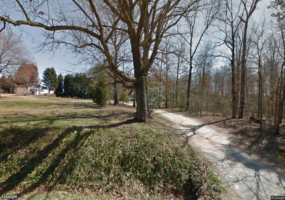
1500 Bishops Branch Rd Pendleton, SC 29670
Estimated Value: $374,652 - $415,000
3
Beds
--
Bath
2,030
Sq Ft
$198/Sq Ft
Est. Value
About This Home
This home is located at 1500 Bishops Branch Rd, Pendleton, SC 29670 and is currently estimated at $402,913, approximately $198 per square foot. 1500 Bishops Branch Rd is a home located in Anderson County with nearby schools including Pendleton High School.
Ownership History
Date
Name
Owned For
Owner Type
Purchase Details
Closed on
Oct 19, 2023
Sold by
Whitfield Timothy Edward
Bought by
Hart Vicki Diane and Kent Kellie C
Current Estimated Value
Home Financials for this Owner
Home Financials are based on the most recent Mortgage that was taken out on this home.
Original Mortgage
$100,000
Outstanding Balance
$4,459
Interest Rate
7.19%
Mortgage Type
New Conventional
Estimated Equity
$398,454
Purchase Details
Closed on
Mar 24, 2010
Sold by
Whitfield Timothy Edward
Bought by
Link Joseph A
Create a Home Valuation Report for This Property
The Home Valuation Report is an in-depth analysis detailing your home's value as well as a comparison with similar homes in the area
Home Values in the Area
Average Home Value in this Area
Purchase History
| Date | Buyer | Sale Price | Title Company |
|---|---|---|---|
| Hart Vicki Diane | $237,500 | None Listed On Document | |
| Kent Paul D | $237,500 | None Listed On Document | |
| Link Joseph A | -- | -- |
Source: Public Records
Mortgage History
| Date | Status | Borrower | Loan Amount |
|---|---|---|---|
| Open | Kent Paul D | $100,000 | |
| Closed | Kent Paul D | $100,000 |
Source: Public Records
Tax History Compared to Growth
Tax History
| Year | Tax Paid | Tax Assessment Tax Assessment Total Assessment is a certain percentage of the fair market value that is determined by local assessors to be the total taxable value of land and additions on the property. | Land | Improvement |
|---|---|---|---|---|
| 2024 | $1,977 | $14,130 | $3,730 | $10,400 |
| 2023 | $4,798 | $5,360 | $2,020 | $3,340 |
| 2022 | $375 | $5,360 | $2,020 | $3,340 |
| 2021 | $309 | $4,600 | $1,580 | $3,020 |
| 2020 | $305 | $4,600 | $1,580 | $3,020 |
| 2019 | $305 | $4,600 | $1,580 | $3,020 |
| 2018 | $307 | $4,600 | $1,580 | $3,020 |
| 2017 | -- | $4,600 | $1,580 | $3,020 |
| 2016 | $251 | $4,330 | $1,100 | $3,230 |
| 2015 | $253 | $4,330 | $1,100 | $3,230 |
| 2014 | $261 | $4,330 | $1,100 | $3,230 |
Source: Public Records
Map
Nearby Homes
- 116 Allgood Rd
- 7390 Liberty Hwy
- 00 Liberty Hwy
- 119 Pendleton Woods Cir
- 2925 Old Greenville Hwy
- 2923 Old Greenville Hwy
- 2921 Old Greenville Hwy
- 162 Refuge Church Rd
- 6620 Liberty Hwy
- 200 Cecil Dr
- 5834 Liberty Hwy
- 616 Anderson Rd
- 102 Rogers Rd
- 02 Mill Pine Rd
- 06 Mill Pine Rd
- 04 Mill Pine Rd
- 09 Mill Pine Rd
- 010 Mill Pine Rd
- 07 Mill Pine Rd
- 10 Mill Pine Rd
- 1516 Bishop Branch Rd
- 1513 Bishop Branch Rd
- 526 Link Rd
- 1240 Central Rd
- 1210 Central Rd
- 1521 Bishop Branch Rd
- 517 Link Rd
- 1410 Bishops Branch Rd
- 508 Link Rd
- 1529 Bishop Branch Rd
- 1540 Bishop Branch Rd
- 505 Link Rd
- 1110 Central Rd
- 264 McMurtrey Rd
- 512 Link Rd
- 501 Link Rd
- 511 Link Rd
- 254 McMurtrey Rd
- 242 McMurtrey Rd
- 1545 Bishop Branch Rd
