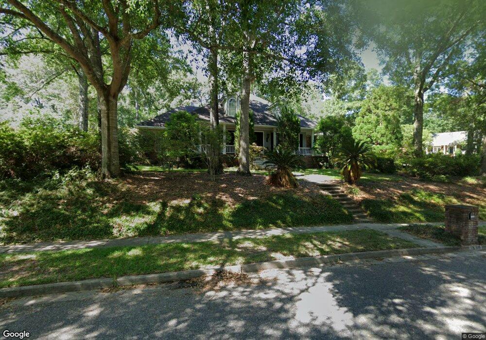
1500 Brockton Ln S Mobile, AL 36695
Second Creek NeighborhoodEstimated Value: $335,000 - $430,000
4
Beds
3
Baths
2,837
Sq Ft
$133/Sq Ft
Est. Value
About This Home
This home is located at 1500 Brockton Ln S, Mobile, AL 36695 and is currently estimated at $378,104, approximately $133 per square foot. 1500 Brockton Ln S is a home located in Mobile County with nearby schools including O'rourke Elementary School, Burns Middle School, and WP Davidson High School.
Ownership History
Date
Name
Owned For
Owner Type
Purchase Details
Closed on
Apr 2, 2008
Sold by
Higgs William R and Higgs Rebecca
Bought by
Gunter Keith E and Gunter Teresa R
Current Estimated Value
Home Financials for this Owner
Home Financials are based on the most recent Mortgage that was taken out on this home.
Original Mortgage
$132,500
Outstanding Balance
$83,933
Interest Rate
5.97%
Mortgage Type
Unknown
Estimated Equity
$294,171
Purchase Details
Closed on
Jun 1, 1998
Sold by
Higgs William R and Higgs Rebecca
Bought by
Higgs William R and Higgs Rebecca
Create a Home Valuation Report for This Property
The Home Valuation Report is an in-depth analysis detailing your home's value as well as a comparison with similar homes in the area
Home Values in the Area
Average Home Value in this Area
Purchase History
| Date | Buyer | Sale Price | Title Company |
|---|---|---|---|
| Gunter Keith E | $332,500 | Slt | |
| Higgs William R | -- | -- |
Source: Public Records
Mortgage History
| Date | Status | Borrower | Loan Amount |
|---|---|---|---|
| Open | Gunter Keith E | $132,500 |
Source: Public Records
Tax History Compared to Growth
Tax History
| Year | Tax Paid | Tax Assessment Tax Assessment Total Assessment is a certain percentage of the fair market value that is determined by local assessors to be the total taxable value of land and additions on the property. | Land | Improvement |
|---|---|---|---|---|
| 2024 | $1,436 | $30,770 | $4,500 | $26,270 |
| 2023 | $1,436 | $28,480 | $6,000 | $22,480 |
| 2022 | $1,343 | $29,070 | $6,000 | $23,070 |
| 2021 | $1,357 | $29,360 | $6,000 | $23,360 |
| 2020 | $1,372 | $29,660 | $6,000 | $23,660 |
| 2019 | $1,348 | $29,170 | $6,000 | $23,170 |
| 2018 | $1,363 | $29,480 | $0 | $0 |
| 2017 | $1,416 | $30,580 | $0 | $0 |
| 2016 | $1,458 | $31,440 | $0 | $0 |
| 2013 | $1,374 | $28,960 | $0 | $0 |
Source: Public Records
Map
Nearby Homes
- 1340 Wellsley Ct
- 1542 Stone Hedge Dr W
- 1337 Carson Rd W
- 7361 Carson Rd S
- 1265 Hanover Ct
- 7691 Sweetgum Ct
- 1361 Dellwyn Ct
- 1735 Ashmoor Dr W
- 7260 Pine Station Rd S
- 1130 Jonathan Ct
- 0 Manchester Place Unit 7528070
- 7671 Creekwood Dr
- 0 Creekwood Place Dr Unit 7647963
- 1000 Choctaw Bluff Rd
- 2039 Creekwood Place Ct
- 7912 Yorkhaven Rd
- 7971 Suzanne Way
- 8050 Saint Jude Cir N
- 8020 Suzanne Way
- 8011 Suzanne Way
- 7499 Brockton Ln W
- 1500 Beacon Ct
- 1515 Beacon Ct
- 7491 Brockton Ln W
- 1540 Brockton Ln S
- 1511 Brockton Ln S
- 1535 Brockton Ln S
- 7475 Brockton Ln N
- 1525 Beacon Ct
- 7465 Brockton Ln N
- 7496 Brockton Ln W
- 1555 Brockton Ln S
- 7485 Brockton Ln W
- 7445 Brockton Ln N
- 1570 Brockton Ln S
- 7494 Brockton Ln W
- 7435 Brockton Ln N
- 1565 Brockton Ln S
- 1525 Brockton Ln E
- 7492 Brockton Ln W