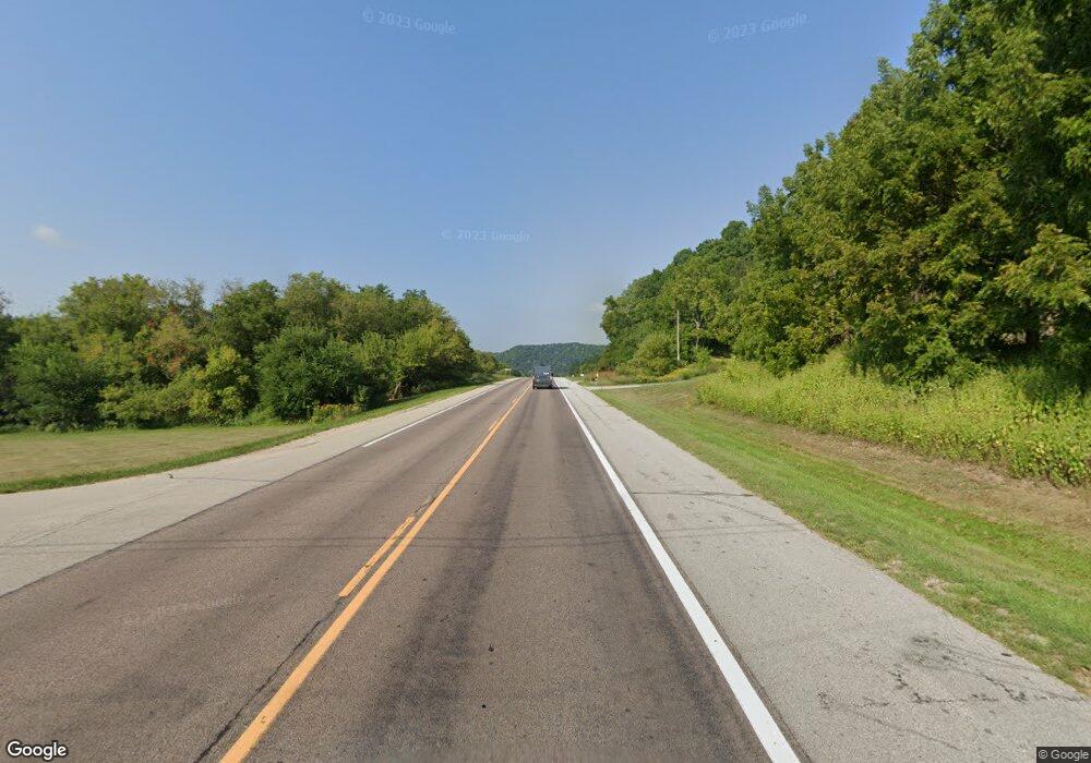
1500 Highway 43 Winona, MN 55987
Estimated Value: $335,415 - $414,000
5
Beds
1
Bath
2,794
Sq Ft
$133/Sq Ft
Est. Value
About This Home
This home is located at 1500 Highway 43, Winona, MN 55987 and is currently estimated at $372,138, approximately $133 per square foot. 1500 Highway 43 is a home located in Winona County with nearby schools including Washington-Kosciusko Elementary School, Winona Middle School, and Winona Senior High School.
Ownership History
Date
Name
Owned For
Owner Type
Purchase Details
Closed on
Oct 2, 2014
Bought by
Burke Cherie L
Current Estimated Value
Home Financials for this Owner
Home Financials are based on the most recent Mortgage that was taken out on this home.
Original Mortgage
$148,500
Outstanding Balance
$111,931
Interest Rate
3.65%
Mortgage Type
New Conventional
Estimated Equity
$260,207
Create a Home Valuation Report for This Property
The Home Valuation Report is an in-depth analysis detailing your home's value as well as a comparison with similar homes in the area
Home Values in the Area
Average Home Value in this Area
Purchase History
| Date | Buyer | Sale Price | Title Company |
|---|---|---|---|
| Burke Cherie L | -- | -- |
Source: Public Records
Mortgage History
| Date | Status | Borrower | Loan Amount |
|---|---|---|---|
| Open | Burke Cherie L | $148,500 |
Source: Public Records
Tax History Compared to Growth
Tax History
| Year | Tax Paid | Tax Assessment Tax Assessment Total Assessment is a certain percentage of the fair market value that is determined by local assessors to be the total taxable value of land and additions on the property. | Land | Improvement |
|---|---|---|---|---|
| 2025 | $2,304 | $242,700 | $170,500 | $72,200 |
| 2024 | $2,304 | $234,900 | $160,800 | $74,100 |
| 2023 | $2,032 | $228,700 | $156,300 | $72,400 |
| 2022 | $1,778 | $216,500 | $143,600 | $72,900 |
| 2021 | $1,778 | $182,400 | $127,800 | $54,600 |
| 2020 | $1,870 | $178,300 | $125,800 | $52,500 |
| 2019 | $1,900 | $178,300 | $125,800 | $52,500 |
| 2018 | $1,844 | $175,500 | $117,300 | $58,200 |
| 2017 | $1,870 | $0 | $0 | $0 |
| 2016 | $1,784 | $0 | $0 | $0 |
| 2015 | $1,784 | $0 | $0 | $0 |
| 2014 | $2,624 | $0 | $0 | $0 |
Source: Public Records
Map
Nearby Homes
- 75 Debi Lei Dr
- 62 Wildridge Dr
- 271 E Garvin Heights Rd
- 1031 Minnesota 43
- 1031 Highway 43
- 863 W Burns Valley Rd
- 953 W Burns Valley Rd
- 58 Buck Ridge Dr
- 1376 Skyline Dr
- 661 Market St
- 72 W Mill St
- 628 Main St
- 653 Johnson St
- TBD E Burns Valley Rd
- 616 E Sarnia St
- 1370 Mcnally Dr
- 519 Chestnut St
- 23146 Highway 43
- 182 Treetops Ln
- 468 Center St
- 1500 Highway 43
- 1500 Highway 43
- 56 Blue Bid Ct
- 56 Bluebird Ct
- 56 Blue Bird Ct
- 52 Bluebird Ct
- 52 Blue Bird Ct
- 60 Bluebird Ct
- 60 Blue Bird Ct
- 1480 Highway 43
- 1480 Old Highway 43 Rd
- 1480 1480 Old Highway 43-Road-
- 61 Bluebird Ct
- 57 Bluebird Ct
- 57 Blue Bird Ct
- 53 Bluebird Ct
- 146 Bluffview Dr
- 154 Bluffview Dr
- 158 Bluffview Dr
- 142 Bluffview Dr
