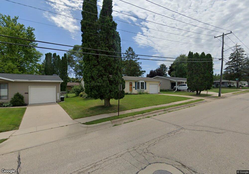
1500 Kane St Dubuque, IA 52001
Estimated Value: $183,662 - $214,000
3
Beds
1
Bath
960
Sq Ft
$207/Sq Ft
Est. Value
About This Home
This home is located at 1500 Kane St, Dubuque, IA 52001 and is currently estimated at $198,916, approximately $207 per square foot. 1500 Kane St is a home located in Dubuque County with nearby schools including Eisenhower Elementary School, Eleanor Roosevelt Middle School, and Dubuque Senior High School.
Ownership History
Date
Name
Owned For
Owner Type
Purchase Details
Closed on
Aug 8, 2012
Sold by
Schmitt Matthew J and Schmitt Ashley A
Bought by
Vanostrand Ernestine A
Current Estimated Value
Home Financials for this Owner
Home Financials are based on the most recent Mortgage that was taken out on this home.
Original Mortgage
$88,000
Outstanding Balance
$60,905
Interest Rate
3.65%
Mortgage Type
New Conventional
Estimated Equity
$138,011
Purchase Details
Closed on
Jun 24, 2009
Sold by
Cullen Sandra K and Cullen Charles W
Bought by
Schmitt Matthew J
Home Financials for this Owner
Home Financials are based on the most recent Mortgage that was taken out on this home.
Original Mortgage
$87,210
Interest Rate
4.92%
Mortgage Type
Purchase Money Mortgage
Create a Home Valuation Report for This Property
The Home Valuation Report is an in-depth analysis detailing your home's value as well as a comparison with similar homes in the area
Home Values in the Area
Average Home Value in this Area
Purchase History
| Date | Buyer | Sale Price | Title Company |
|---|---|---|---|
| Vanostrand Ernestine A | $110,000 | None Available | |
| Schmitt Matthew J | $97,000 | None Available |
Source: Public Records
Mortgage History
| Date | Status | Borrower | Loan Amount |
|---|---|---|---|
| Open | Vanostrand Ernestine A | $88,000 | |
| Previous Owner | Schmitt Matthew J | $87,210 |
Source: Public Records
Tax History Compared to Growth
Tax History
| Year | Tax Paid | Tax Assessment Tax Assessment Total Assessment is a certain percentage of the fair market value that is determined by local assessors to be the total taxable value of land and additions on the property. | Land | Improvement |
|---|---|---|---|---|
| 2025 | $1,412 | $158,600 | $39,300 | $119,300 |
| 2024 | $1,412 | $146,800 | $35,700 | $111,100 |
| 2023 | $1,350 | $146,800 | $35,700 | $111,100 |
| 2022 | $1,868 | $121,860 | $32,130 | $89,730 |
| 2021 | $1,868 | $121,860 | $32,130 | $89,730 |
| 2020 | $1,112 | $110,360 | $30,350 | $80,010 |
| 2019 | $1,812 | $110,360 | $30,350 | $80,010 |
| 2018 | $1,780 | $105,970 | $28,560 | $77,410 |
| 2017 | $1,780 | $105,970 | $28,560 | $77,410 |
| 2016 | $1,740 | $100,690 | $28,560 | $72,130 |
| 2015 | $1,740 | $100,690 | $28,560 | $72,130 |
| 2014 | $1,666 | $99,270 | $28,560 | $70,710 |
Source: Public Records
Map
Nearby Homes
- 1930 Scenic View Dr
- 995 Kane St
- 0 Kaufmann Ave Unit 150494
- 2347 Coventry Park Unit C-011
- Lot 85 The Farm St
- 800 Kane St
- 727 Berkley Place
- 2887 Timberline St
- 3112 Kaufmann Ave
- 692 Kane St
- 2095 Mullin Rd
- 2614 Crissy Dr
- 2540 Clarke Crest Dr
- 2560 Crissy Dr
- 2146 Avalon Rd
- 2452 Tiffany Ct Unit (The 3 Year Old floo
- 2470 Tiffany Ct Unit (The 2 Year Old floo
- 2328 Tiffany Ct Unit (I'm Old But Still C
- 2372 Tiffany Ct Unit (Spiked Lemonade pla
- 2350 Tiffany Ct Unit (The Lemonade plan)