1500 N Fork Rd Columbia Falls, MT 59912
Estimated Value: $3,257,128
5
Beds
4
Baths
6,139
Sq Ft
$531/Sq Ft
Est. Value
About This Home
This home is located at 1500 N Fork Rd, Columbia Falls, MT 59912 and is currently estimated at $3,257,128, approximately $530 per square foot. 1500 N Fork Rd is a home with nearby schools including Glacier Gateway Elementary School, Columbia Falls Junior High School (7-8), and Columbia Falls High School.
Ownership History
Date
Name
Owned For
Owner Type
Purchase Details
Closed on
May 31, 2022
Sold by
Ruis Alvin M and Revocab Wendy
Bought by
Ruis Alvin M
Current Estimated Value
Purchase Details
Closed on
Dec 27, 2019
Sold by
Olivo Mary and Olivo Albert
Bought by
Ruis Alvin M and Ruis Wendy T
Purchase Details
Closed on
Apr 27, 2012
Sold by
Ruis Alvin
Bought by
Olivo Mary and Olivo Albert
Home Financials for this Owner
Home Financials are based on the most recent Mortgage that was taken out on this home.
Original Mortgage
$200,000
Interest Rate
3.98%
Mortgage Type
Future Advance Clause Open End Mortgage
Purchase Details
Closed on
Jun 20, 2010
Sold by
Flathead Real Estate Pc
Bought by
Ruis Alvin and Ruis Mary
Purchase Details
Closed on
Jun 20, 2008
Sold by
Ruis Alvin and Ruis Mary
Bought by
Flathead Real Estate Pc
Create a Home Valuation Report for This Property
The Home Valuation Report is an in-depth analysis detailing your home's value as well as a comparison with similar homes in the area
Home Values in the Area
Average Home Value in this Area
Purchase History
| Date | Buyer | Sale Price | Title Company |
|---|---|---|---|
| Ruis Alvin M | -- | None Listed On Document | |
| Ruis Alvin M | -- | None Available | |
| Olivo Mary | -- | First American Title Company | |
| Ruis Alvin | -- | None Available | |
| Flathead Real Estate Pc | -- | None Available |
Source: Public Records
Mortgage History
| Date | Status | Borrower | Loan Amount |
|---|---|---|---|
| Previous Owner | Olivo Mary | $200,000 |
Source: Public Records
Tax History Compared to Growth
Tax History
| Year | Tax Paid | Tax Assessment Tax Assessment Total Assessment is a certain percentage of the fair market value that is determined by local assessors to be the total taxable value of land and additions on the property. | Land | Improvement |
|---|---|---|---|---|
| 2025 | $26,409 | $3,343,036 | $0 | $0 |
| 2024 | $15,308 | $2,432,349 | $0 | $0 |
| 2023 | $11,372 | $1,815,329 | $0 | $0 |
| 2022 | $4,219 | $515,536 | $0 | $0 |
| 2021 | $4,445 | $515,536 | $0 | $0 |
| 2020 | $4,233 | $459,472 | $0 | $0 |
| 2019 | $4,005 | $459,472 | $0 | $0 |
| 2018 | $3,538 | $389,920 | $0 | $0 |
| 2017 | $3,333 | $389,920 | $0 | $0 |
| 2016 | $3,281 | $368,512 | $0 | $0 |
| 2015 | $3,261 | $368,512 | $0 | $0 |
| 2014 | $3,093 | $207,445 | $0 | $0 |
Source: Public Records
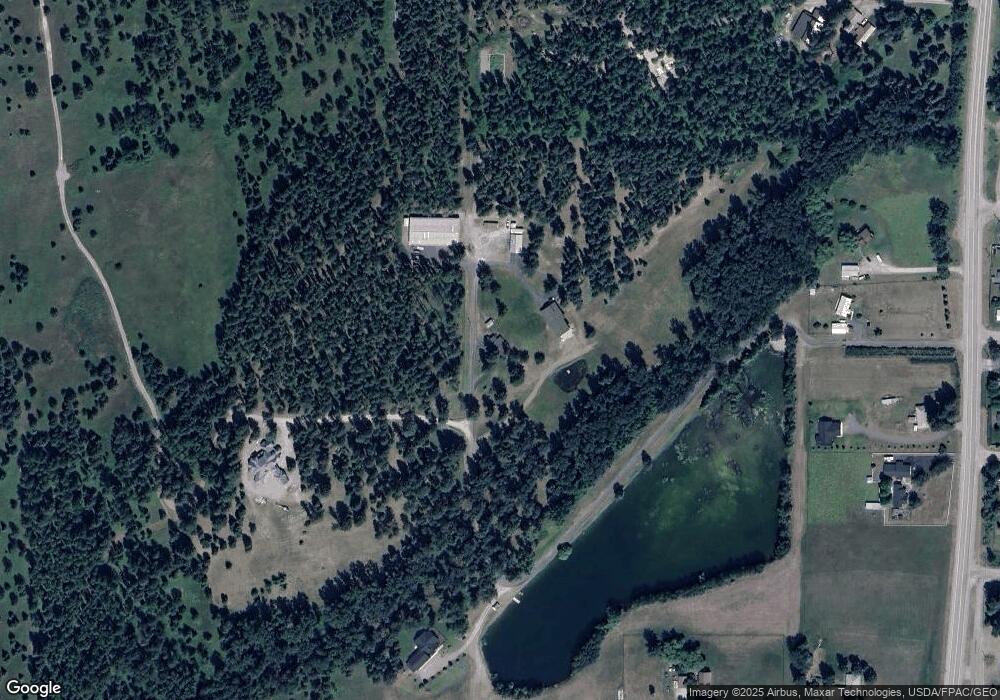
Map
Nearby Homes
- 136 N Fork Trail
- 921 Frontage Rd
- 943 Frontage Rd
- 2225 Tamarack Ln
- 409 1st Street East N
- 324 1st Ave E
- 307 5th St E
- 221 2nd Ave W
- 519 Nucleus Ave Unit Suite 303
- 540 Nucleus Ave Unit 304
- 540 Nucleus Ave Unit 306
- 812 4th Ave E
- 883 Saint Andrews Dr
- 879 Saint Andrews Dr
- 997 Saint Andrews Dr Unit 50 T Wk 44
- 1009 Saint Andrews Dr Unit 51T Wk 40
- 1025 Saint Andrews Dr Unit 54T Wk 34
- 1025 Saint Andrews Dr
- 1295 Tamarack Ln
- 1020 3rd Ave E
- 1492 N Fork Rd
- 1520 N Fork Rd
- 1470 N Fork Rd
- 1450 N Fork Rd
- 1057 12th St W
- 1612 N Fork Rd
- 1534 N Fork Rd
- 1682 N Fork Rd
- 1044 12th Street East N
- 1050 12th Street East N
- 1555 N Fork Rd
- 1475 N Fork Rd
- 1475 North Fork
- 1595 N Fork Rd
- 1465 N Fork Rd
- 1165 12th Street East N
- 1165 12th Street East N
- 1235 14th Ave W
- 1235 14th Street East N
- 1264 15th Street East N