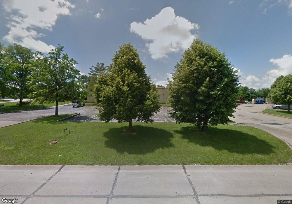
1500 Progress West Ln O'Fallon, MO 63366
--
Bed
5
Baths
14,450
Sq Ft
3.69
Acres
About This Home
This home is located at 1500 Progress West Ln, O'Fallon, MO 63366. 1500 Progress West Ln is a home located in St. Charles County with nearby schools including Mount Hope Elementary School, Fort Zumwalt North Middle School, and Fort Zumwalt North High School.
Ownership History
Date
Name
Owned For
Owner Type
Purchase Details
Closed on
Feb 20, 2019
Sold by
Davis Family Trust
Bought by
City Of O Fallon
Purchase Details
Closed on
Mar 8, 2018
Sold by
Noah Daniel and Noah Teresa
Bought by
Davis William T and The Davis Family Trust
Home Financials for this Owner
Home Financials are based on the most recent Mortgage that was taken out on this home.
Original Mortgage
$249,000
Interest Rate
4.15%
Mortgage Type
Future Advance Clause Open End Mortgage
Purchase Details
Closed on
Jan 14, 2015
Sold by
Katahdin Partners Lp
Bought by
Noah Daniel and Noah Teresa
Create a Home Valuation Report for This Property
The Home Valuation Report is an in-depth analysis detailing your home's value as well as a comparison with similar homes in the area
Home Values in the Area
Average Home Value in this Area
Purchase History
| Date | Buyer | Sale Price | Title Company |
|---|---|---|---|
| City Of O Fallon | -- | None Available | |
| Davis William T | -- | Us Title Corporation And Or | |
| Noah Daniel | -- | None Available |
Source: Public Records
Mortgage History
| Date | Status | Borrower | Loan Amount |
|---|---|---|---|
| Previous Owner | Davis William T | $249,000 |
Source: Public Records
Tax History Compared to Growth
Tax History
| Year | Tax Paid | Tax Assessment Tax Assessment Total Assessment is a certain percentage of the fair market value that is determined by local assessors to be the total taxable value of land and additions on the property. | Land | Improvement |
|---|---|---|---|---|
| 2025 | $17,880 | $252,750 | -- | -- |
| 2023 | $17,886 | $252,750 | $0 | $0 |
| 2022 | $18,283 | $241,771 | $0 | $0 |
| 2021 | $18,296 | $241,771 | $0 | $0 |
| 2020 | $18,749 | $239,836 | $0 | $0 |
| 2019 | $18,790 | $239,836 | $0 | $0 |
| 2018 | $17,300 | $211,468 | $0 | $0 |
| 2017 | $17,204 | $211,468 | $0 | $0 |
| 2016 | $16,218 | $198,638 | $0 | $0 |
| 2015 | $15,149 | $198,638 | $0 | $0 |
| 2014 | $15,106 | $194,833 | $0 | $0 |
Source: Public Records
Map
Nearby Homes
- 1 Manderly Place Dr
- 263 Thorn Brook Dr
- 22 Holloway Dr
- 2 Royal Dr
- 11 S Meadow Dr
- 30 AC Guthrie Rd
- 0 Mexico Rd Unit 22032692
- 15 Eagles Way Ln
- 617 Lakeview Rd
- 66 White Brook Ct
- 827 Edgewood Dr
- The Forest Plan at Enclave at Brookside
- The Geneva Plan at Enclave at Brookside
- The Lakeland Plan at Enclave at Brookside
- The Serengeti Plan at Enclave at Brookside
- The Indigo Plan at Enclave at Brookside
- The Augusta Plan at Enclave at Brookside
- The Palmetto Plan at Enclave at Brookside
- 904 Palmer Ct Unit 4
- 903 Palmer Ct Unit 3
- 1505 Progress Ln W
- 1503 Progress Ln W
- 1501 Progress Ln W
- 1504 Progress Ln W
- 1502 Progress Ln W
- 0 3 5 + - Acres Hoff Rd Lot B
- 0 3 5 + - Acres Hoff Rd Lot A
- 0 6 985 + - Acres Hoff Rd
- 29 W Industrial Dr
- 26 W Industrial Dr
- 208 Crafton Dr
- 18 W Industrial Dr
- 1760 W Terra Ln
- 0 Veterans Memorial Pkwy Unit 18041844
- 0 Veterans Memorial Pkwy Unit Your unit Number
- 0 Veterans Memorial Pkwy Unit 11045947
- 0 Veterans Memorial Pkwy Unit 12026058
- 0 Veterans Memorial Pkwy Unit 80021628
- 0 Veterans Memorial Pkwy Unit 15001970
- 0 Veterans Memorial Pkwy Unit 15001955
