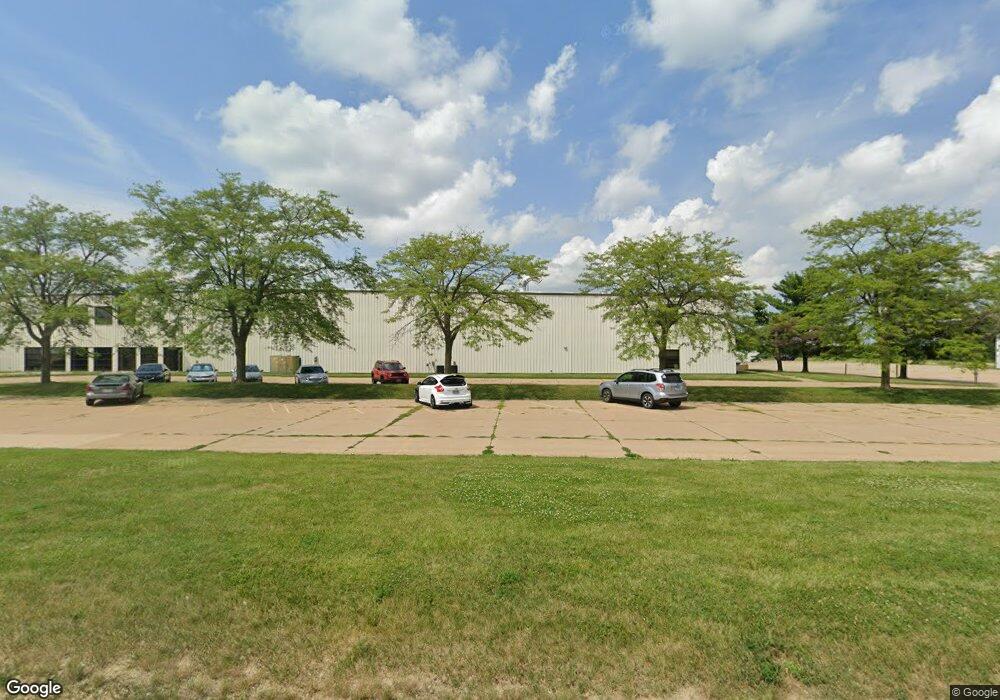
1500 W 76th St Unit Bldg 2 Davenport, IA 52806
North Side Neighborhood
--
Bed
--
Bath
15,552
Sq Ft
19.31
Acres
About This Home
This home is located at 1500 W 76th St Unit Bldg 2, Davenport, IA 52806. 1500 W 76th St Unit Bldg 2 is a home located in Scott County with nearby schools including Fillmore Elementary School, Cumberland Hall School, and Academy Of Continuing Education.
Ownership History
Date
Name
Owned For
Owner Type
Purchase Details
Closed on
Apr 13, 2021
Sold by
Hardi International
Bought by
5Cl Illinois Llc
Home Financials for this Owner
Home Financials are based on the most recent Mortgage that was taken out on this home.
Original Mortgage
$4,250,000
Outstanding Balance
$529,263
Interest Rate
3%
Mortgage Type
Commercial
Create a Home Valuation Report for This Property
The Home Valuation Report is an in-depth analysis detailing your home's value as well as a comparison with similar homes in the area
Home Values in the Area
Average Home Value in this Area
Purchase History
| Date | Buyer | Sale Price | Title Company |
|---|---|---|---|
| 5Cl Illinois Llc | $3,789,500 | None Available | |
| Hardi International A S | -- | None Available |
Source: Public Records
Mortgage History
| Date | Status | Borrower | Loan Amount |
|---|---|---|---|
| Open | 5Cl Illinois Llc | $4,250,000 |
Source: Public Records
Tax History Compared to Growth
Tax History
| Year | Tax Paid | Tax Assessment Tax Assessment Total Assessment is a certain percentage of the fair market value that is determined by local assessors to be the total taxable value of land and additions on the property. | Land | Improvement |
|---|---|---|---|---|
| 2025 | -- | $3,841,800 | $676,490 | $3,165,310 |
| 2024 | $136,342 | $4,305,540 | $580,850 | $3,724,690 |
| 2023 | $120,506 | $4,308,030 | $580,850 | $3,727,180 |
| 2022 | $122,238 | $3,823,640 | $580,850 | $3,242,790 |
| 2021 | $122,238 | $3,823,640 | $580,850 | $3,242,790 |
| 2020 | $124,880 | $3,823,640 | $580,850 | $3,242,790 |
| 2019 | $125,866 | $3,823,640 | $580,850 | $3,242,790 |
| 2018 | $125,866 | $3,823,640 | $580,850 | $3,242,790 |
Source: Public Records
Map
Nearby Homes
- 1500 W 76th St Unit Bldg 3
- W 76th
- W 76th Unit 4&5
- W 76th Unit 10
- W 76th Unit 33
- 0 W 76th Unit 7018744
- 0 W 76th Unit 7020958
- 0 W 76th Unit 7020957
- 0 W 76th Unit 7018743
- 0 W 76th Unit 7025705
- 0 W 76th Unit 7028223
- 0 W 76th Unit RMAQC4247620
- 0 W 76th Unit RMAQC4247587
- 0 W 76th Unit QC4236497
- Division St N W 76th St
- Division & W 76th St
- 0 W 76th Unit QC4206249
- 0 W 76th Unit QC4206247
- 0 W 76th Unit 7041146
- 0 W 76th Unit 7040497