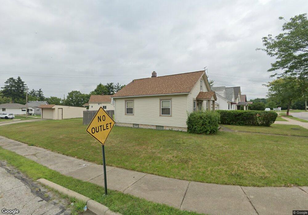
15001 Granger Rd Maple Heights, OH 44137
Estimated Value: $96,000 - $130,000
2
Beds
1
Bath
700
Sq Ft
$159/Sq Ft
Est. Value
About This Home
This home is located at 15001 Granger Rd, Maple Heights, OH 44137 and is currently estimated at $111,063, approximately $158 per square foot. 15001 Granger Rd is a home located in Cuyahoga County with nearby schools including Abraham Lincoln Elementary School, Rockside/ J.F. Kennedy School, and Barack Obama School.
Ownership History
Date
Name
Owned For
Owner Type
Purchase Details
Closed on
Apr 10, 2025
Sold by
Damaso Builders Llc
Bought by
Damaso Properties Llc
Current Estimated Value
Home Financials for this Owner
Home Financials are based on the most recent Mortgage that was taken out on this home.
Original Mortgage
$202,500
Outstanding Balance
$200,531
Interest Rate
6.76%
Mortgage Type
New Conventional
Estimated Equity
-$89,468
Purchase Details
Closed on
Oct 4, 2024
Sold by
Simone Albert and Simone Michael R
Bought by
Damaso Builders Llc
Home Financials for this Owner
Home Financials are based on the most recent Mortgage that was taken out on this home.
Original Mortgage
$63,000
Interest Rate
6.46%
Mortgage Type
Construction
Purchase Details
Closed on
Jan 1, 1988
Bought by
Simone Albert
Create a Home Valuation Report for This Property
The Home Valuation Report is an in-depth analysis detailing your home's value as well as a comparison with similar homes in the area
Home Values in the Area
Average Home Value in this Area
Purchase History
| Date | Buyer | Sale Price | Title Company |
|---|---|---|---|
| Damaso Properties Llc | -- | None Listed On Document | |
| Damaso Builders Llc | $45,000 | Chicago Title | |
| Simone Albert | -- | -- |
Source: Public Records
Mortgage History
| Date | Status | Borrower | Loan Amount |
|---|---|---|---|
| Open | Damaso Properties Llc | $202,500 | |
| Previous Owner | Damaso Builders Llc | $63,000 |
Source: Public Records
Tax History
| Year | Tax Paid | Tax Assessment Tax Assessment Total Assessment is a certain percentage of the fair market value that is determined by local assessors to be the total taxable value of land and additions on the property. | Land | Improvement |
|---|---|---|---|---|
| 2025 | $1,822 | $37,660 | $7,840 | $29,820 |
| 2024 | $2,520 | $37,660 | $7,840 | $29,820 |
| 2023 | $1,212 | $19,390 | $4,620 | $14,770 |
| 2022 | $1,246 | $19,390 | $4,620 | $14,770 |
| 2021 | $1,321 | $19,390 | $4,620 | $14,770 |
| 2020 | $921 | $14,700 | $3,500 | $11,200 |
| 2019 | $907 | $42,000 | $10,000 | $32,000 |
| 2018 | $901 | $14,700 | $3,500 | $11,200 |
| 2017 | $981 | $15,330 | $4,410 | $10,920 |
| 2016 | $943 | $15,330 | $4,410 | $10,920 |
| 2015 | $915 | $15,330 | $4,410 | $10,920 |
| 2014 | $915 | $15,820 | $4,550 | $11,270 |
Source: Public Records
Map
Nearby Homes
- 14512 Granger Rd
- 14510 Granger Rd
- 15264 Broadway Ave
- 5137 Miller Ave
- 15313 Fernway Dr
- 13801 Bangor Ave
- 5370 Lee Rd Unit 302
- 16029 Friend Ave
- 5408 Roland Dr
- 5382 Lee Rd Unit 102
- 14413 Krems Ave
- 16174 Friend Ave
- 13600 Royal Blvd
- 16101 Raymond St
- 14112 Krems Ave
- 13417 Granger Rd
- 5270 E 135th St
- 16406 Home St
- 5650 Lafayette Ave
- 14203 Tabor Ave
- 15025 Granger Rd
- 14969 Granger Rd
- 5373 Royal St
- 14937 Granger Rd
- 5371 Royal St
- 5380 Royal St
- 5378 Royal St
- 15101 Granger Rd
- 14901 Granger Rd
- 14901 Granger Rd Unit 282
- 5367 Royal St
- 5374 Royal St
- 5370 Royal St
- 14875 Granger Rd
- 5363 Royal St
- 5366 Royal St
- 5341 Meadow St
- 5335 Meadow St
- 15127 Granger Rd
- 5343 Meadow St
Your Personal Tour Guide
Ask me questions while you tour the home.