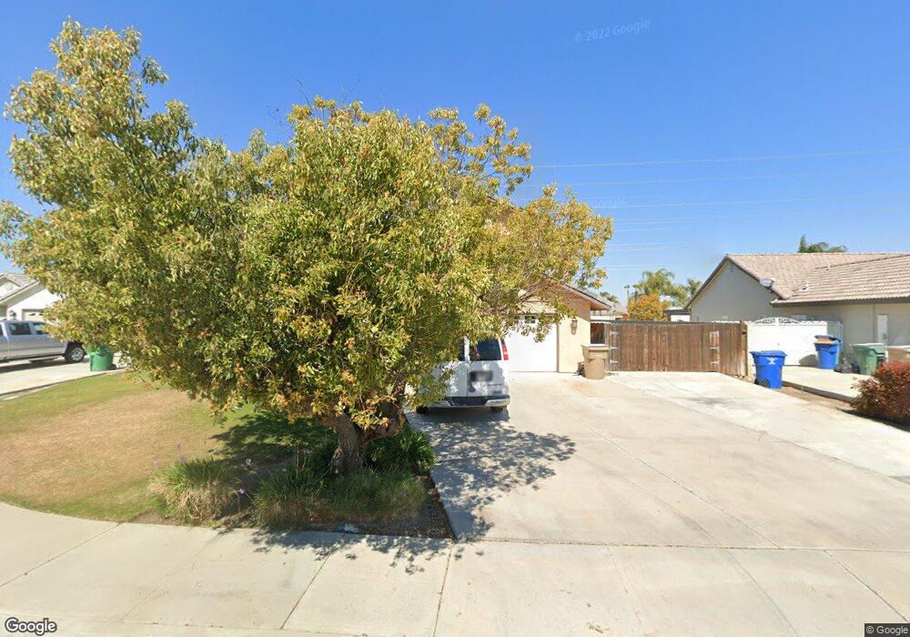
15002 Dobbs Ave Bakersfield, CA 93314
Estimated Value: $546,000 - $658,000
5
Beds
3
Baths
1,251
Sq Ft
$477/Sq Ft
Est. Value
About This Home
This home is located at 15002 Dobbs Ave, Bakersfield, CA 93314 and is currently estimated at $596,606, approximately $476 per square foot. 15002 Dobbs Ave is a home located in Kern County with nearby schools including Independence Elementary School, Freedom Middle School, and Frontier High School.
Ownership History
Date
Name
Owned For
Owner Type
Purchase Details
Closed on
Sep 5, 1997
Sold by
Frazure Timothy A and Frazure Deborah A
Bought by
Ricks Kenneth J and Ricks Vickie D
Current Estimated Value
Home Financials for this Owner
Home Financials are based on the most recent Mortgage that was taken out on this home.
Original Mortgage
$116,000
Interest Rate
7.23%
Purchase Details
Closed on
Jun 12, 1996
Sold by
Renfrow Eloy
Bought by
Frazure Timothy A and Frazure Deborah A
Home Financials for this Owner
Home Financials are based on the most recent Mortgage that was taken out on this home.
Original Mortgage
$156,650
Interest Rate
7.87%
Create a Home Valuation Report for This Property
The Home Valuation Report is an in-depth analysis detailing your home's value as well as a comparison with similar homes in the area
Home Values in the Area
Average Home Value in this Area
Purchase History
| Date | Buyer | Sale Price | Title Company |
|---|---|---|---|
| Ricks Kenneth J | $145,000 | First American Title Ins Co | |
| Frazure Timothy A | $165,000 | American Title Co |
Source: Public Records
Mortgage History
| Date | Status | Borrower | Loan Amount |
|---|---|---|---|
| Previous Owner | Ricks Kenneth J | $116,000 | |
| Previous Owner | Frazure Timothy A | $156,650 |
Source: Public Records
Tax History
| Year | Tax Paid | Tax Assessment Tax Assessment Total Assessment is a certain percentage of the fair market value that is determined by local assessors to be the total taxable value of land and additions on the property. | Land | Improvement |
|---|---|---|---|---|
| 2025 | $3,461 | $248,867 | $63,853 | $185,014 |
| 2024 | $3,370 | $243,988 | $62,601 | $181,387 |
| 2023 | $3,370 | $239,206 | $61,374 | $177,832 |
| 2022 | $3,282 | $234,517 | $60,171 | $174,346 |
| 2021 | $3,163 | $229,921 | $58,992 | $170,929 |
| 2020 | $3,088 | $227,565 | $58,388 | $169,177 |
| 2019 | $3,026 | $227,565 | $58,388 | $169,177 |
| 2018 | $2,945 | $218,732 | $56,122 | $162,610 |
| 2017 | $2,885 | $214,444 | $55,022 | $159,422 |
| 2016 | $2,678 | $210,241 | $53,944 | $156,297 |
| 2015 | $2,628 | $207,084 | $53,134 | $153,950 |
| 2014 | $2,568 | $203,029 | $52,094 | $150,935 |
Source: Public Records
Map
Nearby Homes
- 15100 Dobbs Ave
- 14854 Tribute Way
- 14614 Tribute Way
- 15417 Lila Rose Ct
- 14912 Henderson Ave
- 15413 Carparzo Dr
- 15014 Thunder Valley Rd
- 14918 Thunder Valley Rd
- 15503 Marty Ave
- 2537 Ollie Ct Unit 1
- 2425 Ollie Ct
- 15801 Susan Eileen Ave Unit 1
- 16727 Brookview Ct
- 16729 Starview Ct
- 15015 Wayne Lee Ct
- 14924 Wayne Lee Ct
- 14035 Rosedale Hwy Unit 72
- 14035 Rosedale Hwy Unit 93
- 14035 Rosedale Hwy Unit 134
- 14035 Rosedale Hwy Unit 108
- 14924 Dobbs Ave
- 15010 Dobbs Ave
- 15018 Dobbs Ave
- 14916 Dobbs Ave
- 2809 Sugar St
- 15026 Dobbs Ave
- 14908 Dobbs Ave
- 2808 Adee Ln
- 14917 Dobbs Ave
- 14909 Dobbs Ave
- 14900 Dobbs Ave
- 2801 Sugar St
- 14901 Dobbs Ave
- 15108 Dobbs Ave
- 2800 Adee Ln
- 3005 Redwood Hill Ct Unit B
- 3000 Redwood Hill Ct
- 14827 Dobbs Ave
- 14826 Dobbs Ave Unit B
- 15116 Dobbs Ave
Your Personal Tour Guide
Ask me questions while you tour the home.