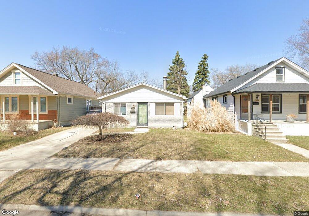
1501 Browning St Ferndale, MI 48220
Estimated Value: $187,000 - $231,000
3
Beds
1
Bath
936
Sq Ft
$228/Sq Ft
Est. Value
About This Home
This home is located at 1501 Browning St, Ferndale, MI 48220 and is currently estimated at $213,593, approximately $228 per square foot. 1501 Browning St is a home located in Oakland County with nearby schools including Hazel Park Junior High School, Hazel Park High School, and Calvary Christian School.
Ownership History
Date
Name
Owned For
Owner Type
Purchase Details
Closed on
Jul 25, 2011
Sold by
Bray Phillip G
Bought by
Bray Daniel T
Current Estimated Value
Purchase Details
Closed on
Feb 14, 2011
Sold by
Bray David G and Bray Heather M
Bought by
Bray Phillip G
Purchase Details
Closed on
Jul 19, 1996
Sold by
Caudill Paul Sr
Bought by
Bray David
Home Financials for this Owner
Home Financials are based on the most recent Mortgage that was taken out on this home.
Original Mortgage
$46,500
Interest Rate
8%
Create a Home Valuation Report for This Property
The Home Valuation Report is an in-depth analysis detailing your home's value as well as a comparison with similar homes in the area
Home Values in the Area
Average Home Value in this Area
Purchase History
| Date | Buyer | Sale Price | Title Company |
|---|---|---|---|
| Bray Daniel T | -- | None Available | |
| Bray Phillip G | $56,000 | None Available | |
| Bray David | $56,500 | -- |
Source: Public Records
Mortgage History
| Date | Status | Borrower | Loan Amount |
|---|---|---|---|
| Previous Owner | Bray David | $46,500 |
Source: Public Records
Tax History Compared to Growth
Tax History
| Year | Tax Paid | Tax Assessment Tax Assessment Total Assessment is a certain percentage of the fair market value that is determined by local assessors to be the total taxable value of land and additions on the property. | Land | Improvement |
|---|---|---|---|---|
| 2024 | $1,915 | $98,190 | $0 | $0 |
| 2023 | $2,011 | $86,690 | $0 | $0 |
| 2022 | $1,999 | $75,470 | $0 | $0 |
| 2021 | $2,002 | $67,560 | $0 | $0 |
| 2020 | $1,913 | $61,220 | $0 | $0 |
| 2019 | $1,934 | $58,480 | $0 | $0 |
| 2018 | $1,905 | $48,860 | $0 | $0 |
| 2017 | $1,879 | $45,880 | $0 | $0 |
| 2016 | $1,852 | $37,890 | $0 | $0 |
| 2015 | -- | $32,830 | $0 | $0 |
| 2014 | -- | $27,820 | $0 | $0 |
| 2011 | -- | $31,500 | $0 | $0 |
Source: Public Records
Map
Nearby Homes
- 1469 Browning St
- 2835 Goodrich St
- 3041 Goodrich St
- 2808 Goodrich St
- 1489 Woodward Heights
- 3239 Mcdowell St
- 3245 Harris St
- 3246 Harris St
- 1600 Woodward Heights
- 2814 Burdette St
- 3236 Edgeworth St
- 3314 Mcdowell St
- 3263 Goodrich St
- 3034 Wolcott St
- 1143 Woodward Heights Unit 15
- 3323 Kenwood St
- 3011 Wolcott St
- 2104 Brickley St
- 3370 Harris St
- 3034 Paxton St
- 1513 Browning St
- 1493 Browning St
- 1481 Browning St
- 1541 Browning St
- 1612 Garfield St
- 1624 Garfield St
- 1596 Garfield St
- 1580 Garfield St
- 1640 Garfield St
- 1516 Browning St
- 1563 Browning St
- 1540 Browning St
- 1445 Browning St
- 1490 Browning St
- 1581 Browning St
- 1658 Garfield St
- 1456 Browning St
- 1564 Browning St
- 1550 Garfield St
- 1607 Browning St