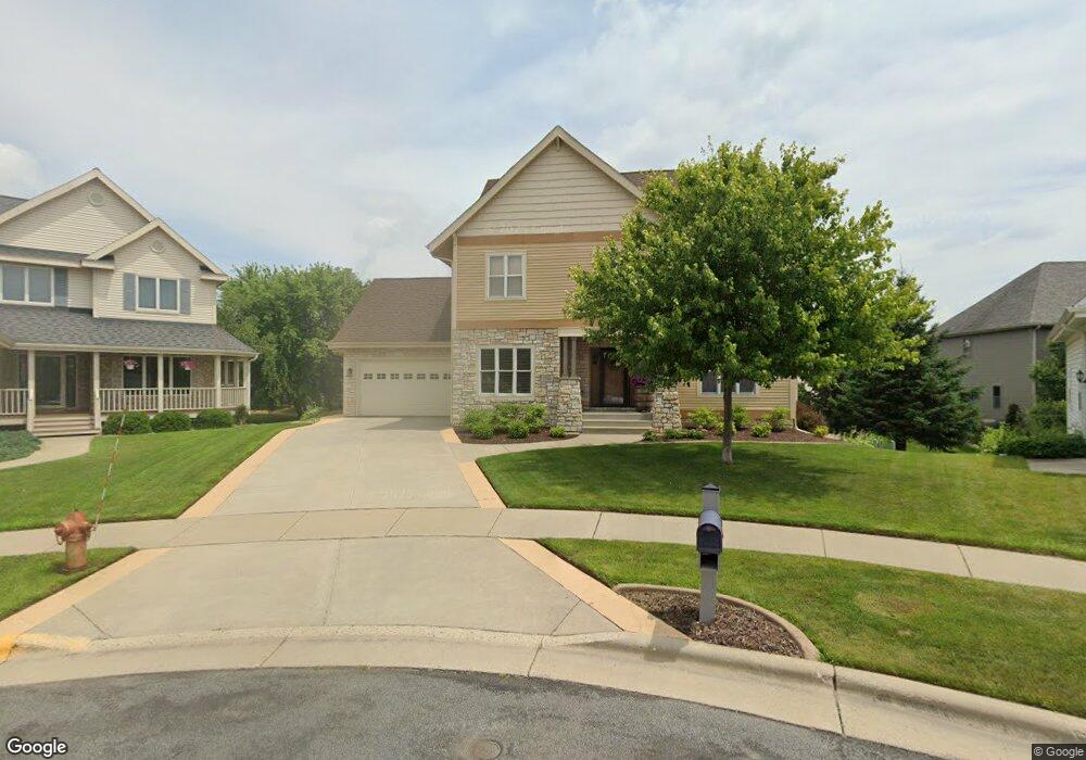
1501 Kentlands Ct Waunakee, WI 53597
Estimated Value: $670,241 - $744,000
6
Beds
3
Baths
3,652
Sq Ft
$193/Sq Ft
Est. Value
About This Home
This home is located at 1501 Kentlands Ct, Waunakee, WI 53597 and is currently estimated at $703,560, approximately $192 per square foot. 1501 Kentlands Ct is a home located in Dane County with nearby schools including Arboretum Elementary School, Waunakee Community Middle School, and Waunakee Intermediate School.
Ownership History
Date
Name
Owned For
Owner Type
Purchase Details
Closed on
Jul 30, 2021
Sold by
Helmke Mark D and Helmke Sheryl L
Bought by
Bach Justin and Bach Deana
Current Estimated Value
Home Financials for this Owner
Home Financials are based on the most recent Mortgage that was taken out on this home.
Original Mortgage
$303,450
Outstanding Balance
$276,341
Interest Rate
3%
Mortgage Type
New Conventional
Estimated Equity
$427,219
Create a Home Valuation Report for This Property
The Home Valuation Report is an in-depth analysis detailing your home's value as well as a comparison with similar homes in the area
Home Values in the Area
Average Home Value in this Area
Purchase History
| Date | Buyer | Sale Price | Title Company |
|---|---|---|---|
| Bach Justin | $506,000 | None Available |
Source: Public Records
Mortgage History
| Date | Status | Borrower | Loan Amount |
|---|---|---|---|
| Open | Bach Justin | $303,450 |
Source: Public Records
Tax History Compared to Growth
Tax History
| Year | Tax Paid | Tax Assessment Tax Assessment Total Assessment is a certain percentage of the fair market value that is determined by local assessors to be the total taxable value of land and additions on the property. | Land | Improvement |
|---|---|---|---|---|
| 2024 | $9,060 | $552,100 | $93,500 | $458,600 |
| 2023 | $8,760 | $552,100 | $93,500 | $458,600 |
| 2021 | $8,096 | $414,500 | $83,500 | $331,000 |
| 2020 | $7,843 | $414,500 | $83,500 | $331,000 |
| 2019 | $7,811 | $414,500 | $83,500 | $331,000 |
| 2018 | $7,371 | $346,000 | $81,500 | $264,500 |
| 2017 | $7,321 | $346,000 | $81,500 | $264,500 |
| 2016 | $7,219 | $346,000 | $81,500 | $264,500 |
| 2015 | $7,094 | $346,000 | $81,500 | $264,500 |
| 2014 | -- | $346,000 | $81,500 | $264,500 |
| 2013 | $7,611 | $346,000 | $81,500 | $264,500 |
Source: Public Records
Map
Nearby Homes
- 1714 Brookside Ln
- 5802 Woodland Dr
- 1109 Stephenson Ln
- 1122 Stephenson Ln
- 1110 Stephenson Ln
- 1033 Quinn Dr
- 1140 Reese Trail
- 1204 Thistle Dew Ln
- 1016 Quinn Dr
- 1028 Quinn Dr
- 1153 Reese Trail
- 1113 Reese Trail
- 1306 Hanover Ct
- 1104 Reese Trail
- 1129 Ballweg Ln
- 1148 Irene Ct
- 1146 Irene Ct
- 1260 Hanover Trail
- 5018 Apricot Blossom Ct
- 5006 Apricot Blossom Ct
- 1503 Kentlands Ct
- 1500 Kentlands Ct
- 1500 Nantucket Ct
- 1501 Nantucket Ct
- 1505 Kentlands Ct
- 1502 Nantucket Ct
- 1101 Bluebird Trail
- 1502 Kentlands Ct
- 1103 Bluebird Trail
- 1149 Bluebird Trail
- 1504 Kentlands Ct
- 1507 Kentlands Ct
- 1503 Nantucket Ct
- 1105 Bluebird Trail
- 1504 Nantucket Ct
- 1601 Nakoma Ct
- 1147 Bluebird Trail
- 1506 Kentlands Ct
- 1505 Nantucket Ct
- 1107 Bluebird Trail