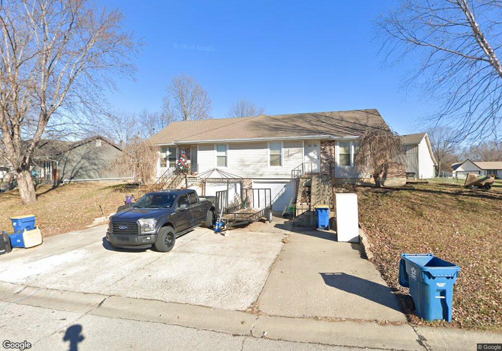
1501 Laurel St Kearney, MO 64060
Estimated Value: $313,000 - $358,000
3
Beds
2
Baths
1,592
Sq Ft
$205/Sq Ft
Est. Value
About This Home
This home is located at 1501 Laurel St, Kearney, MO 64060 and is currently estimated at $326,241, approximately $204 per square foot. 1501 Laurel St is a home located in Clay County with nearby schools including Kearney Junior High School, Kearney High School, and Northern Hills Christian Academy.
Ownership History
Date
Name
Owned For
Owner Type
Purchase Details
Closed on
Jul 31, 2006
Sold by
Belt James E and Belt Renea J
Bought by
Belt James E
Current Estimated Value
Home Financials for this Owner
Home Financials are based on the most recent Mortgage that was taken out on this home.
Original Mortgage
$132,400
Outstanding Balance
$78,885
Interest Rate
6.62%
Mortgage Type
Stand Alone Refi Refinance Of Original Loan
Estimated Equity
$247,356
Purchase Details
Closed on
Mar 31, 2000
Sold by
Hanson Christopher C
Bought by
Belt James E and Belt Renea J
Home Financials for this Owner
Home Financials are based on the most recent Mortgage that was taken out on this home.
Original Mortgage
$107,120
Interest Rate
8.37%
Purchase Details
Closed on
May 29, 1998
Sold by
Ameduri Rocco V
Bought by
Hanson Christopher C and Hanson Mary M
Home Financials for this Owner
Home Financials are based on the most recent Mortgage that was taken out on this home.
Original Mortgage
$111,750
Interest Rate
7.22%
Create a Home Valuation Report for This Property
The Home Valuation Report is an in-depth analysis detailing your home's value as well as a comparison with similar homes in the area
Home Values in the Area
Average Home Value in this Area
Purchase History
| Date | Buyer | Sale Price | Title Company |
|---|---|---|---|
| Belt James E | -- | First American Title Ins | |
| Belt James E | -- | United Title Company Inc | |
| Hanson Christopher C | -- | -- |
Source: Public Records
Mortgage History
| Date | Status | Borrower | Loan Amount |
|---|---|---|---|
| Open | Belt James E | $132,400 | |
| Closed | Belt James E | $107,120 | |
| Previous Owner | Hanson Christopher C | $111,750 |
Source: Public Records
Tax History Compared to Growth
Tax History
| Year | Tax Paid | Tax Assessment Tax Assessment Total Assessment is a certain percentage of the fair market value that is determined by local assessors to be the total taxable value of land and additions on the property. | Land | Improvement |
|---|---|---|---|---|
| 2025 | $2,947 | $43,260 | -- | -- |
| 2024 | $2,947 | $43,000 | -- | -- |
| 2023 | $2,937 | $43,000 | $0 | $0 |
| 2022 | $2,627 | $37,200 | $0 | $0 |
| 2021 | $2,576 | $37,202 | $4,750 | $32,452 |
| 2020 | $2,502 | $32,870 | $0 | $0 |
| 2019 | $2,489 | $55,360 | $8,000 | $47,360 |
| 2018 | $1,665 | $21,240 | $0 | $0 |
| 2017 | $1,572 | $21,240 | $3,040 | $18,200 |
| 2016 | $1,572 | $20,270 | $3,040 | $17,230 |
| 2015 | $1,572 | $20,270 | $3,040 | $17,230 |
| 2014 | $1,635 | $20,980 | $4,370 | $16,610 |
Source: Public Records
Map
Nearby Homes
- 1404 Colony Dr
- 625 E 13th St
- 1202 Noah's Ln
- 1207 Noah's Ln
- 1200 Noah's Ln
- 1205 Noah's Ln
- 1102 Noah's Ln
- 1204 Susan St
- 401 E 9th St
- 1307 Stonecrest Dr
- 1305 Stonecrest Dr
- 902 Walnut St
- 324 Regency Park St
- 1706 Regency Dr
- 1701 Park Ln
- 817 Porter Ridge Rd
- 1830 Falcon Ct
- 401 W 11th Terrace
- 806 E 18th St
- 2001 Foxtail Point
- 1411 Laurel St
- 304 Southbrook Pkwy
- 1505 Laurel St
- 1409 Laurel St
- 308 Southbrook Pkwy
- 1422 Laurel St
- 1424 Laurel St
- 1420 Laurel St
- 1416 Laurel St
- 1405 Laurel St
- 312 Southbrook Pkwy
- 1428 Laurel St
- 1412 Laurel St
- 1408 Laurel St
- 401 Southbrook Pkwy
- 316 Southbrook Pkwy
- 403 Southbrook Pkwy
- 1401 Laurel St
- 301 Southbrook Pkwy
- 1404 Laurel St