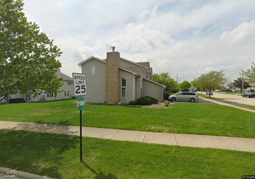
1501 Root St Crest Hill, IL 60403
Estimated Value: $253,000 - $275,000
About This Home
This home is located at 1501 Root St, Crest Hill, IL 60403 and is currently estimated at $264,088, approximately $146 per square foot. 1501 Root St is a home located in Will County with nearby schools including Richland Elementary School, Richland Jr High School, and Lockport Township High School East.
Ownership History
We collect this data history from publicly available records. To have your information removed, we recommend requesting removal directly through your county’s website.
Purchase Details
Home Financials for this Owner
Home Financials are based on the most recent Mortgage that was taken out on this home.Purchase Details
Home Financials for this Owner
Home Financials are based on the most recent Mortgage that was taken out on this home.Home Values in the Area
Average Home Value in this Area
Purchase History
We collect this data history from publicly available records. To have your information removed, we recommend requesting removal directly through your county’s website.
| Date | Buyer | Sale Price | Title Company |
|---|---|---|---|
| $132,500 | First American Title | ||
| $120,000 | Chicago Title Insurance Co |
Mortgage History
We collect this data history from publicly available records. To have your information removed, we recommend requesting removal directly through your county’s website.
| Date | Status | Borrower | Loan Amount |
|---|---|---|---|
| Open | $121,933 | ||
| Previous Owner | $95,900 |
Tax History
We collect this data history from publicly available records. To have your information removed, we recommend requesting removal directly through your county’s website.
| Year | Tax Paid | Tax Assessment Tax Assessment Total Assessment is a certain percentage of the fair market value that is determined by local assessors to be the total taxable value of land and additions on the property. | Land | Improvement |
|---|---|---|---|---|
| 2024 | $3,365 | $68,013 | $17,934 | $50,079 |
| 2023 | $3,476 | $61,058 | $16,100 | $44,958 |
| 2022 | $4,370 | $56,956 | $15,019 | $41,937 |
| 2021 | $3,948 | $53,525 | $14,114 | $39,411 |
| 2020 | $3,858 | $51,765 | $13,650 | $38,115 |
| 2019 | $3,604 | $49,066 | $12,938 | $36,128 |
| 2018 | $3,537 | $47,165 | $12,437 | $34,728 |
| 2017 | $3,324 | $44,525 | $11,741 | $32,784 |
| 2016 | $3,160 | $41,729 | $11,004 | $30,725 |
| 2015 | $2,795 | $37,456 | $9,877 | $27,579 |
| 2014 | $2,795 | $36,365 | $9,589 | $26,776 |
| 2013 | $2,795 | $37,490 | $9,886 | $27,604 |
Map
- 1466 Root St Unit 1
- 2213 Weber Rd
- 1340 Harvest Dr
- 1785 Willow Circle Dr
- Vacant Heiden Ave
- 1824 Plainfield Rd
- 1 Marietta Dr
- 1822 Barthelone Ave
- LOTS 4 & 5 Plainfield Rd
- Vacant Lot Parcel 04 Heiden Ave
- 17104 Weber Rd
- 1812 Burry Circle Dr
- 1423 Cleary Ave
- 2217 Manico Dr
- 1921 Kelly Ave
- 1214 Norley Ave
- 2357 Caton Farm Rd
- 999 Confidential Ave
- 1626 N Prairie Ave
- 1640 N Prairie Ave
Ask me questions while you tour the home.